Camping on the West Highland Way
Introduction
This post has three purposes:
to record various bits of camping experience I’ve picked up on the most popular Scottish hiking route.
to preserve the personal narrative of this 9 day journey with something more reliable than my memory.
to have the undivided attention of the audience while showing my pictures of these amazing landscapes.
Mixing all these goals might not work for someone from general public, but just a quick skimming can still be of value. While writing, I tried to keep it concise and finish it as fast as possible, otherwise I would fall in the perfection trap and never complete it, and whatever it ended up being, it ended up existing. Yay!
Route
I had a plan to spend about a week in Scotland with my friend Alisa. We’ve both already been to Edinburgh and Glasgow, and the famous landscapes of Scotland were what our hearts craved for, so our direction was clearly into the Highlands.
The first option I considered was renting a car or using public transport to get around a couple islands (Isle of Mule, Isle of Sky) and to spend several days on each. The second one was long distance hike for the whole week. At the time of choosing, I didn’t really feel like organizing the travel schedule, multiple transits and accommodations, and once I’ve discovered West Highland Way, it felt like an instant relief and apparent choice.
WHW is the most popular long distance (152 km) route in Scotland, spreading from Glasgow in Lowlands to Fort William in Highlands, near UK’s tallest mountain Ben Nevis: the Map. Advertised everywhere as an easy and accessible route that you can almost walk with your toddler hand in hand, it is supposed to be completed within 5-8 days, depending on experience. I chose a 7-day breakdown, and I believed we would both feel comfortable with such a relaxed version. Time has proven me and lots of the info in the Internet wrong - and here’s the story.
Day 0. London to Glasgow
We took a 20£ train (booked just three weeks in advance) from London to Glasgow the day before the start. Everything outside the train window up to Lancaster in the North was a daunting flatness, but up from there it became interesting.

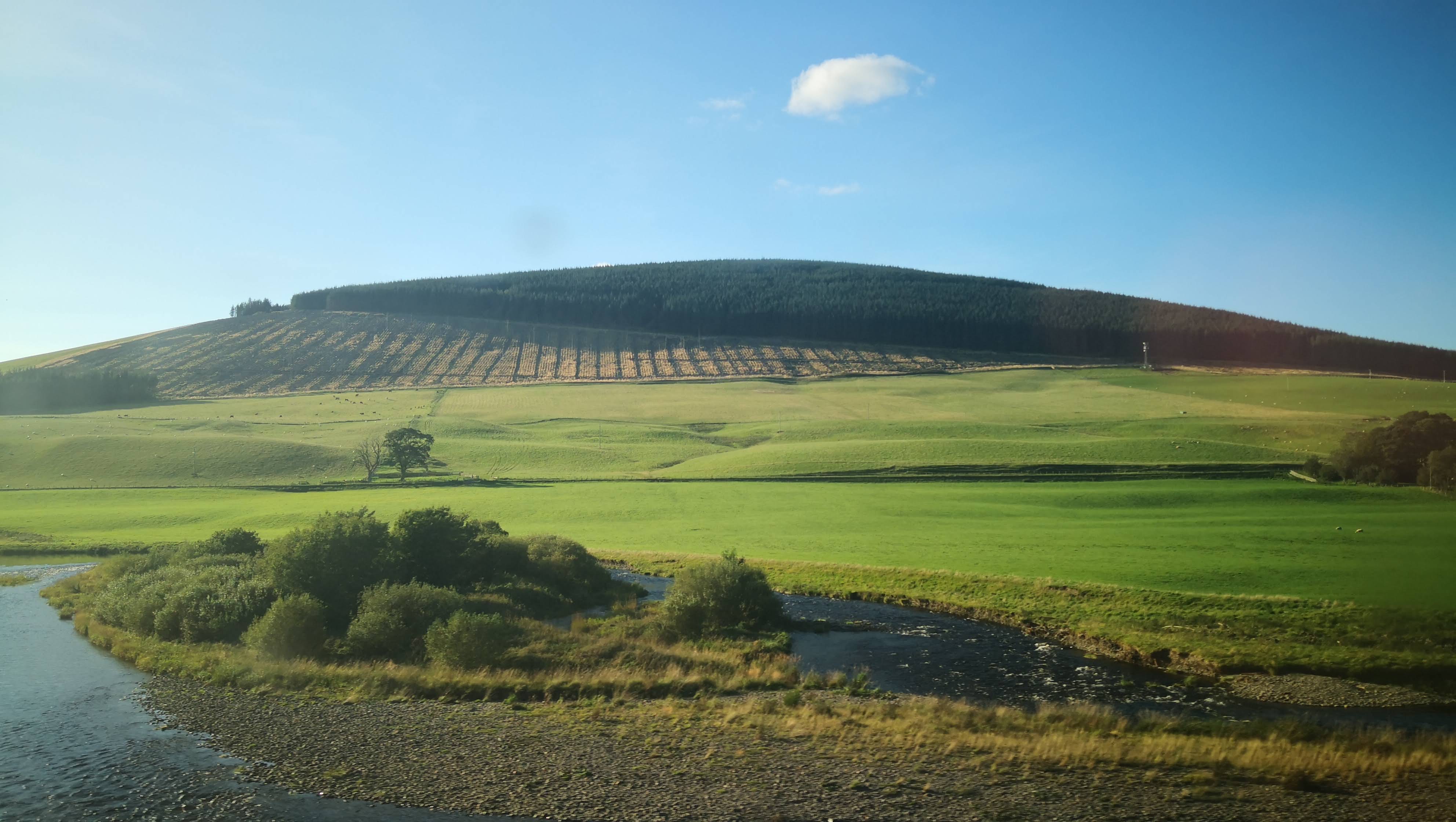
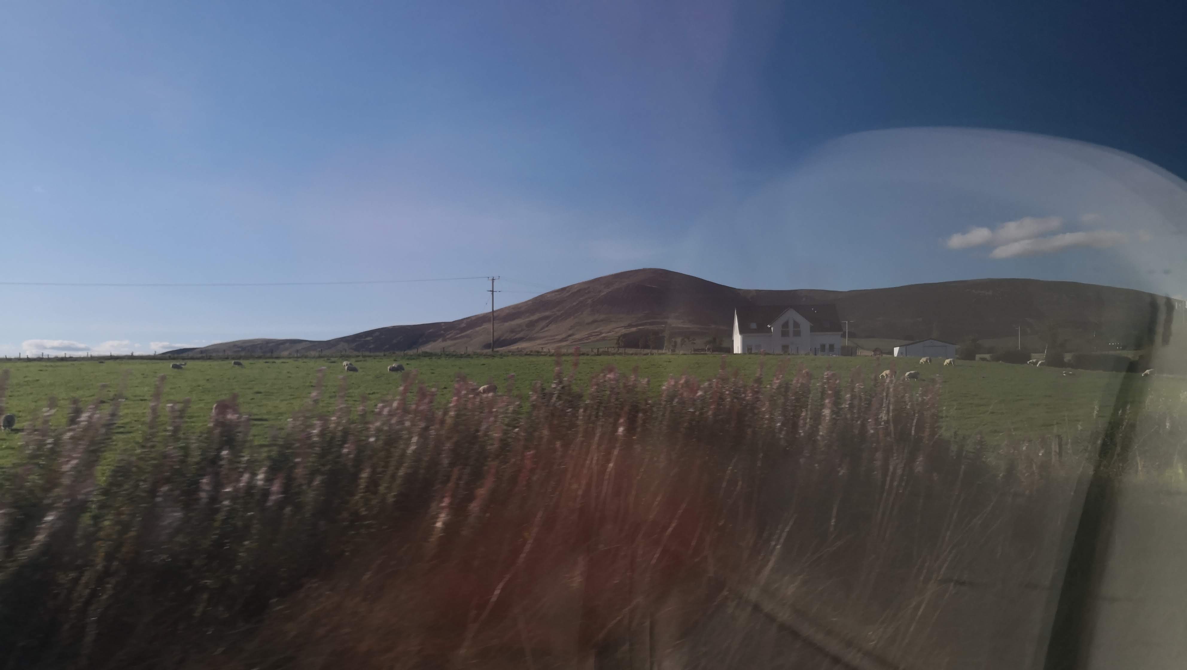
In Glasgow we stayed in an Airbnb.
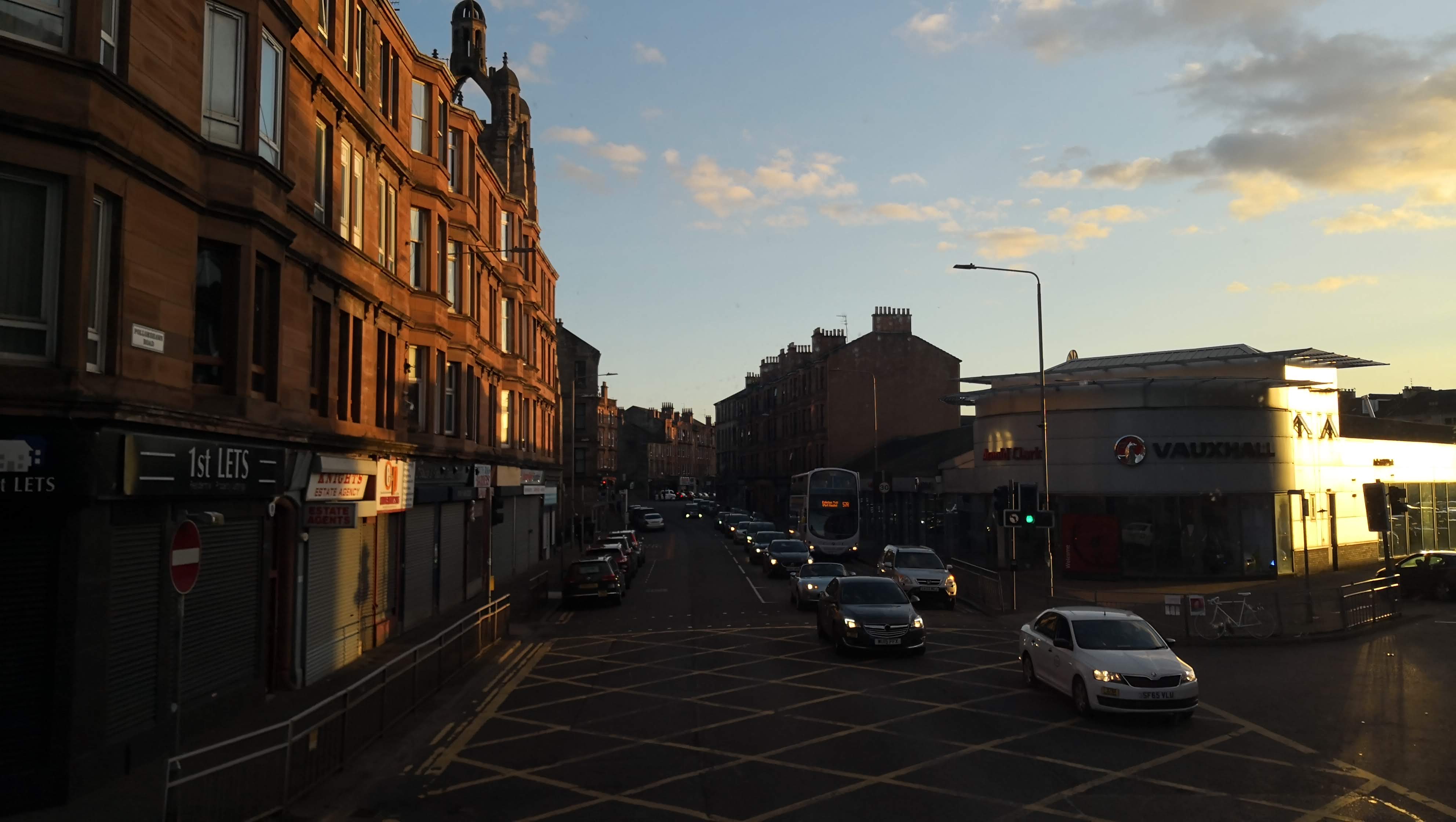 Before sunset
Day 1. Milngavie to Drymen, 18 km
We took a train from Glasgow Central to Milngavie, the north suburb of Glasgow and the formal start of the route.
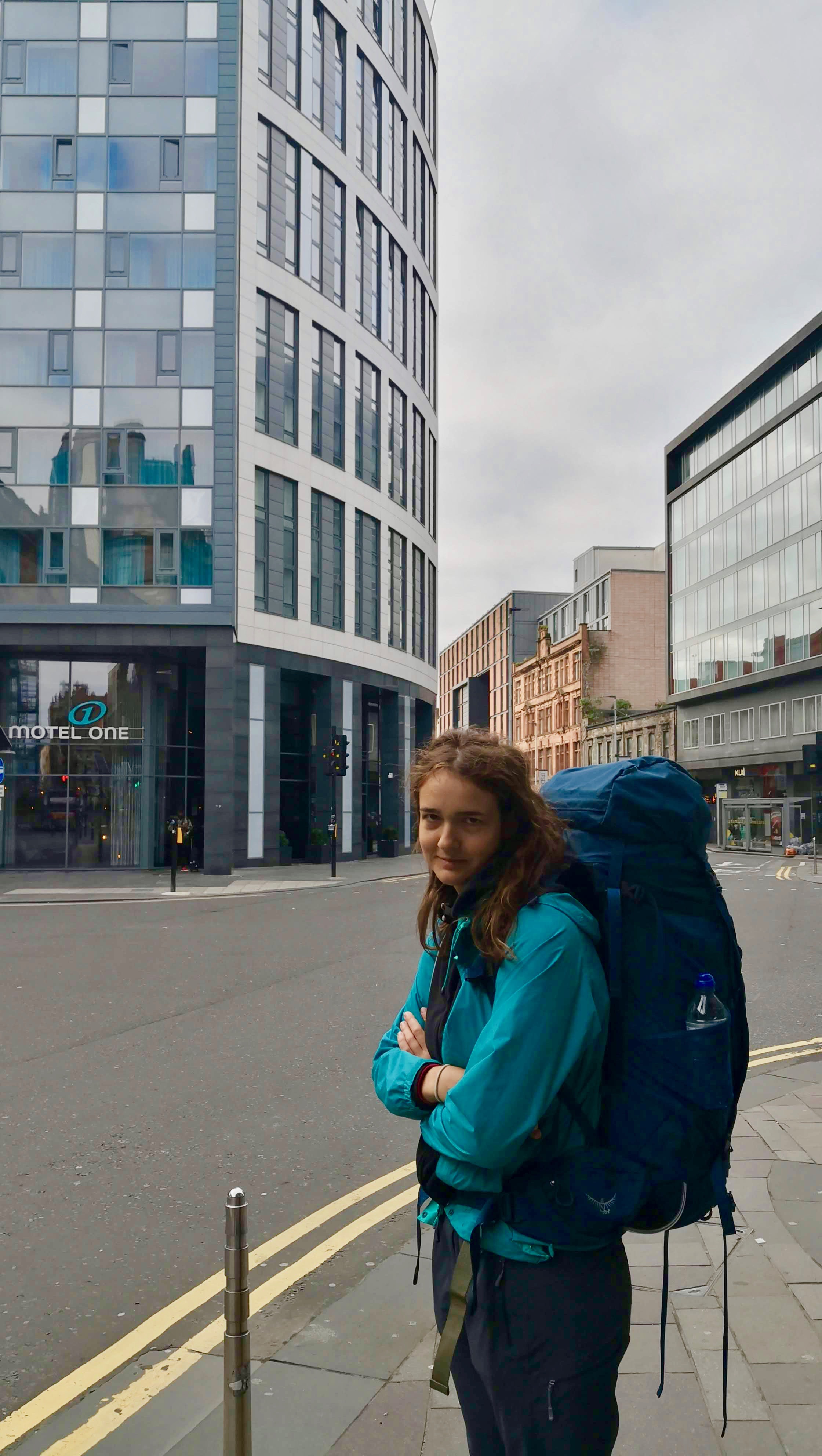 Alisa already seems quite enthusiastic
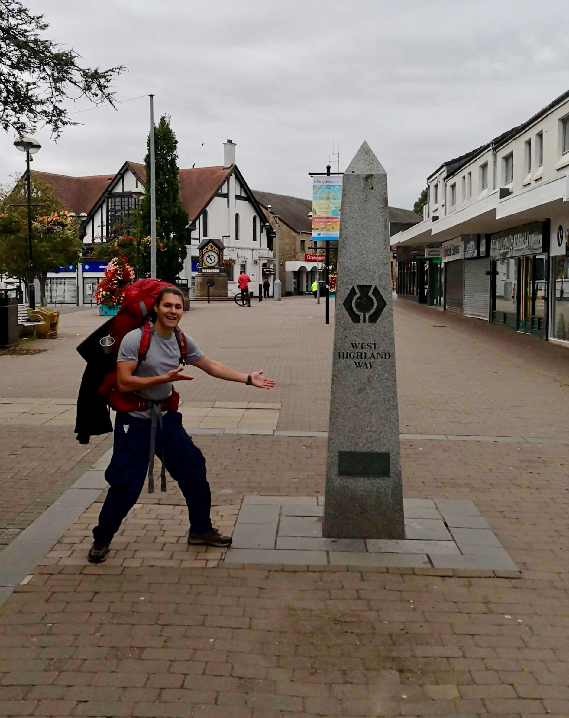 A mandatory picture at the start of the route
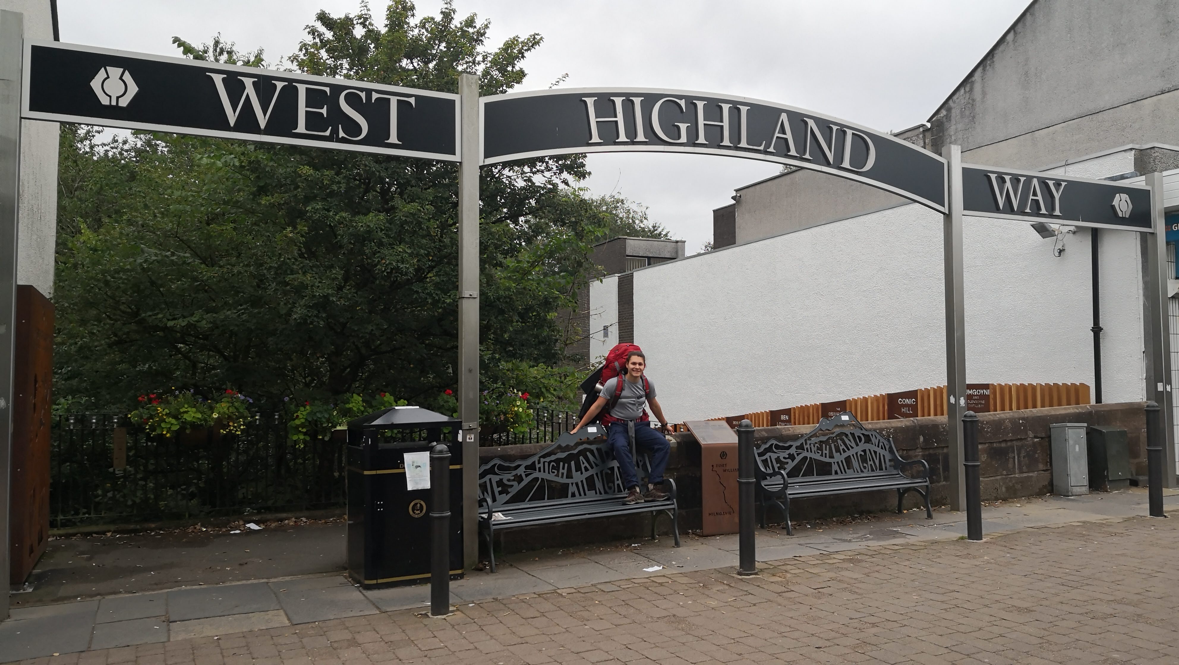 Impeding locals from walking to not get into cameras. I hate tourists too.
The first day was quite boring. There were very few interesting landscapes, I don’t even have a great photo to post, and we just treated this day as means to an end.
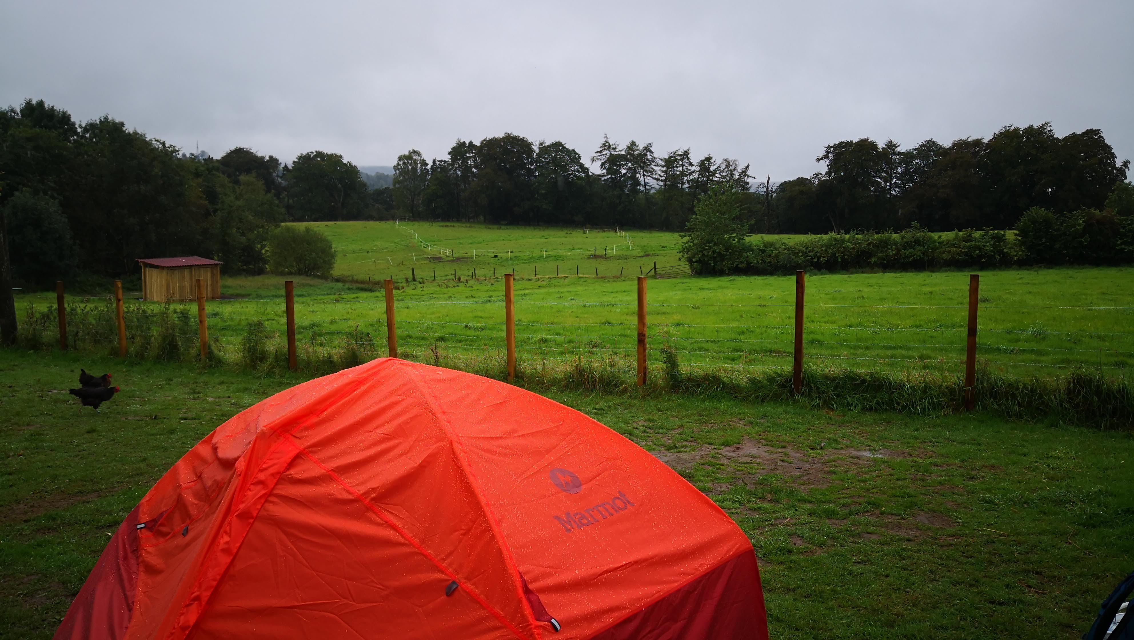
Day 2. Drymen to Balmacha, 16 km
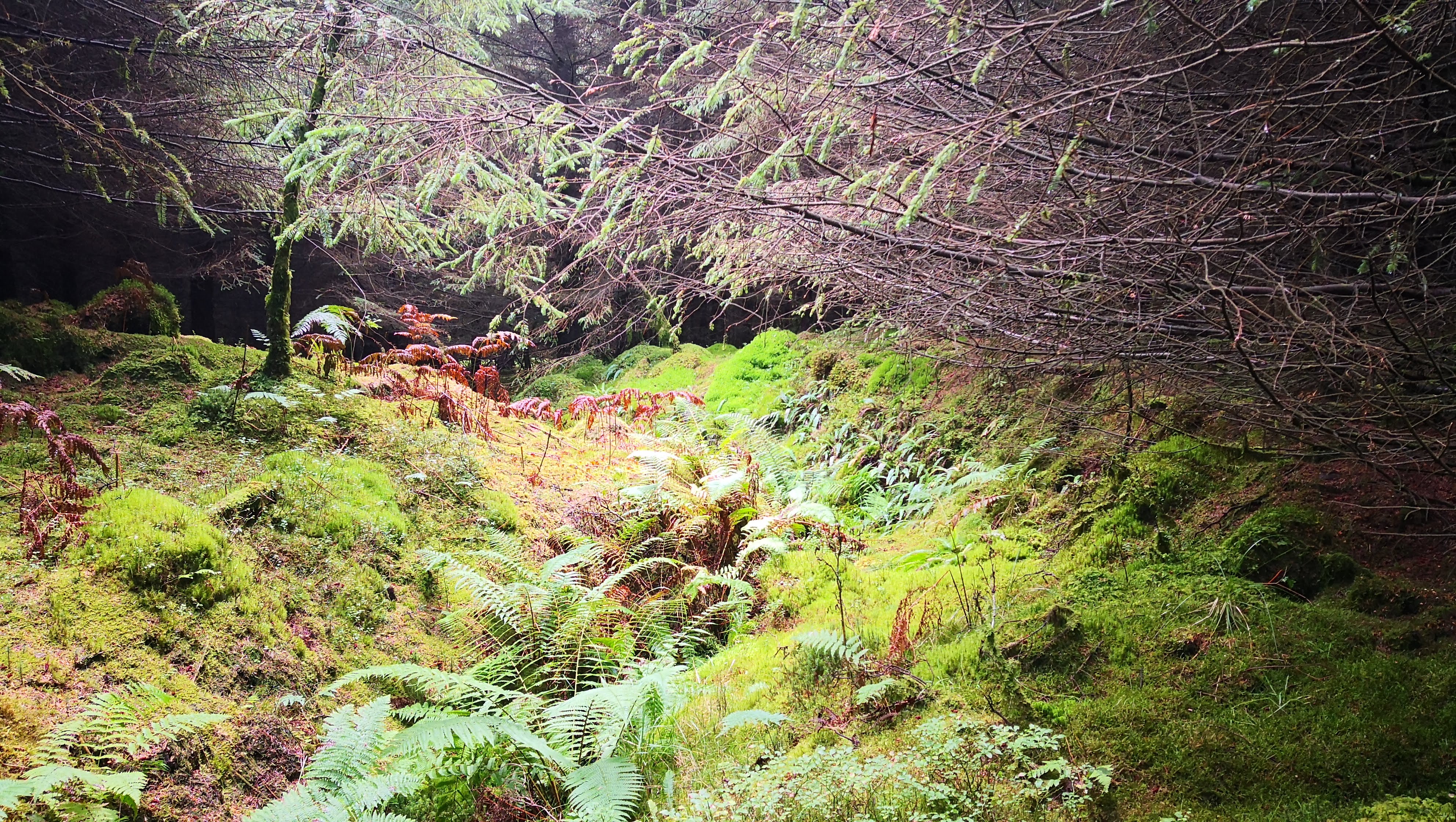
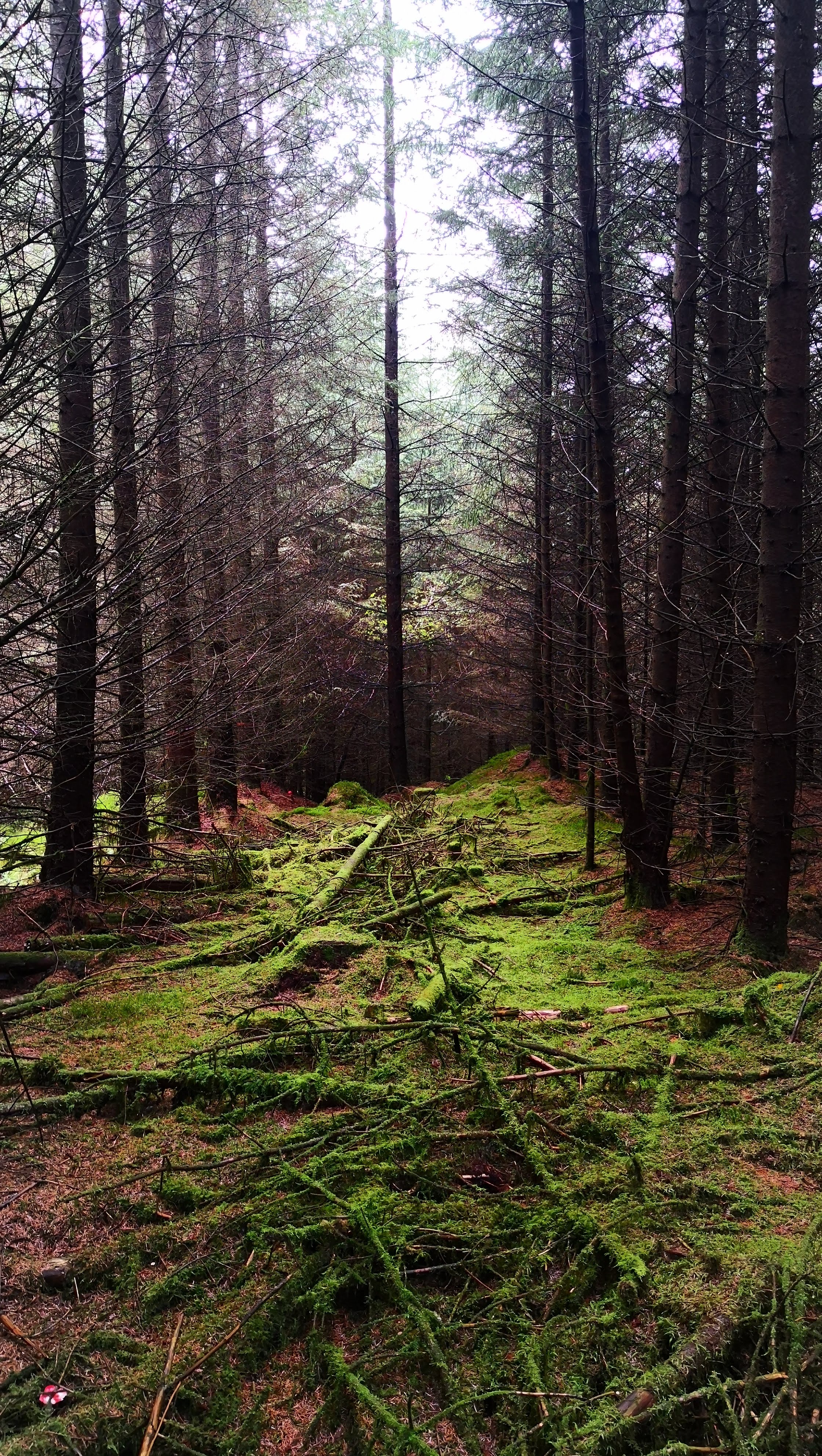
The second day was one of the most interesting ones. It had very particular forests along the way that are striving due to the amount of water. And, of course, Loch Lomond views!
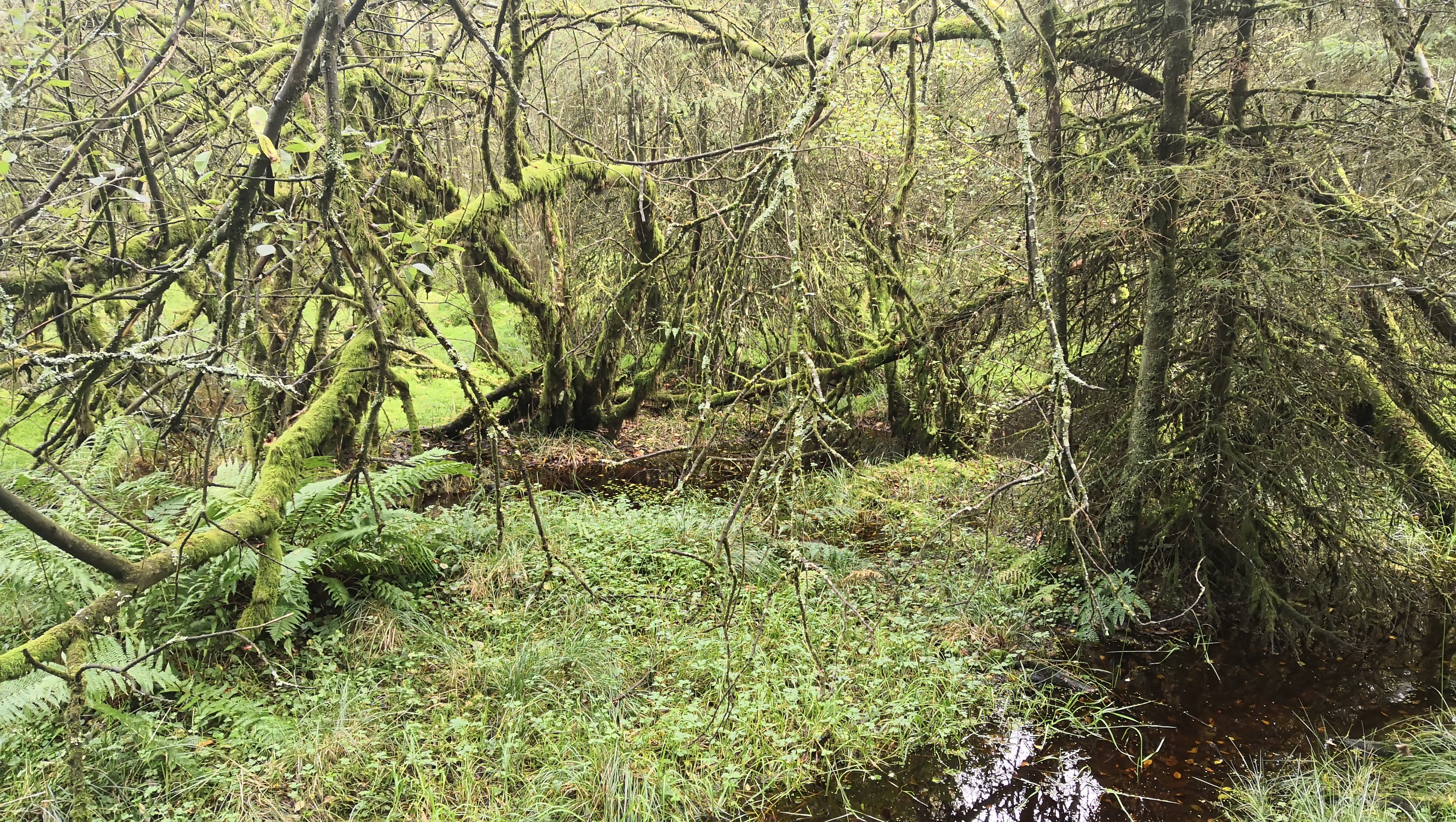
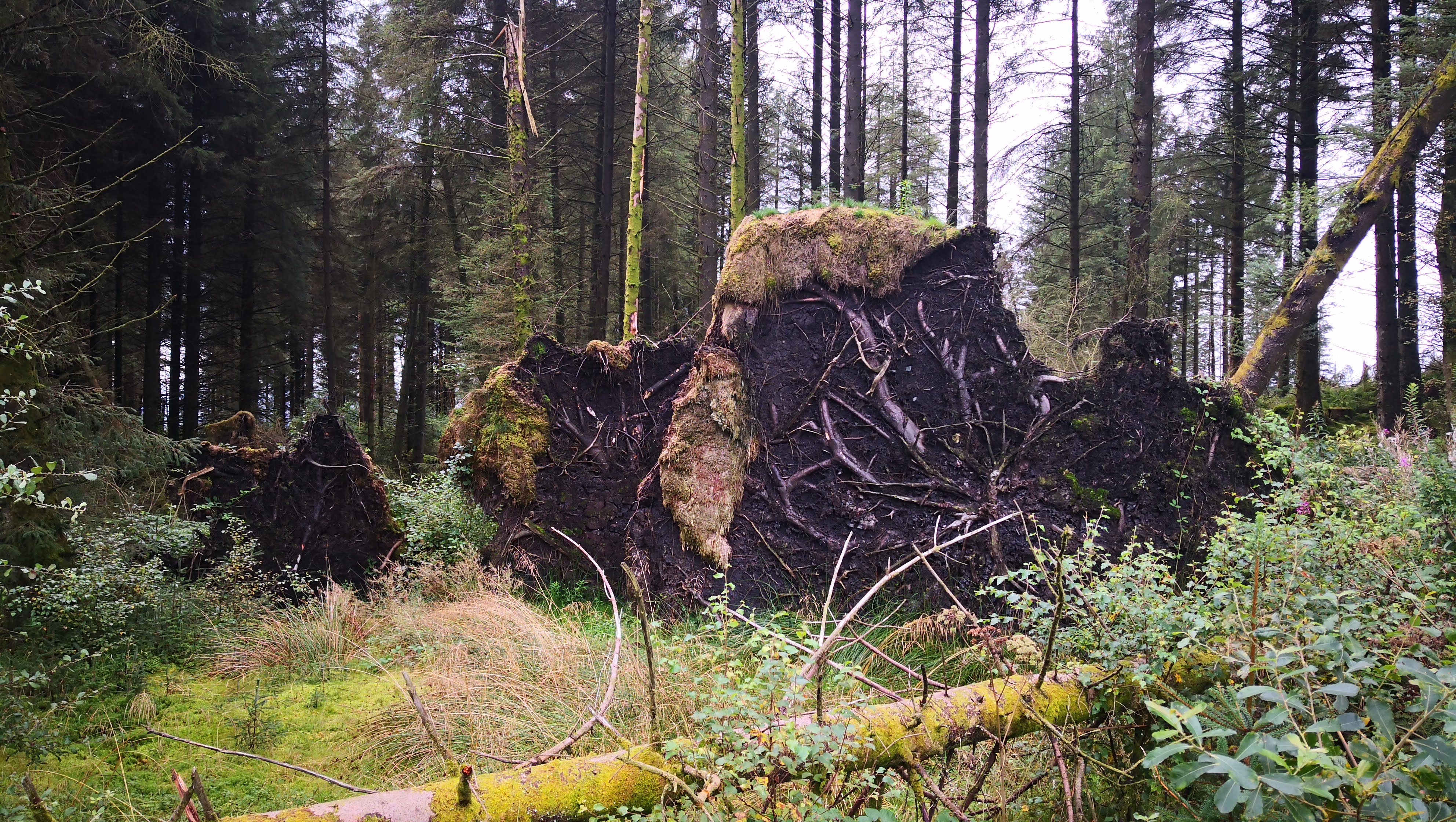
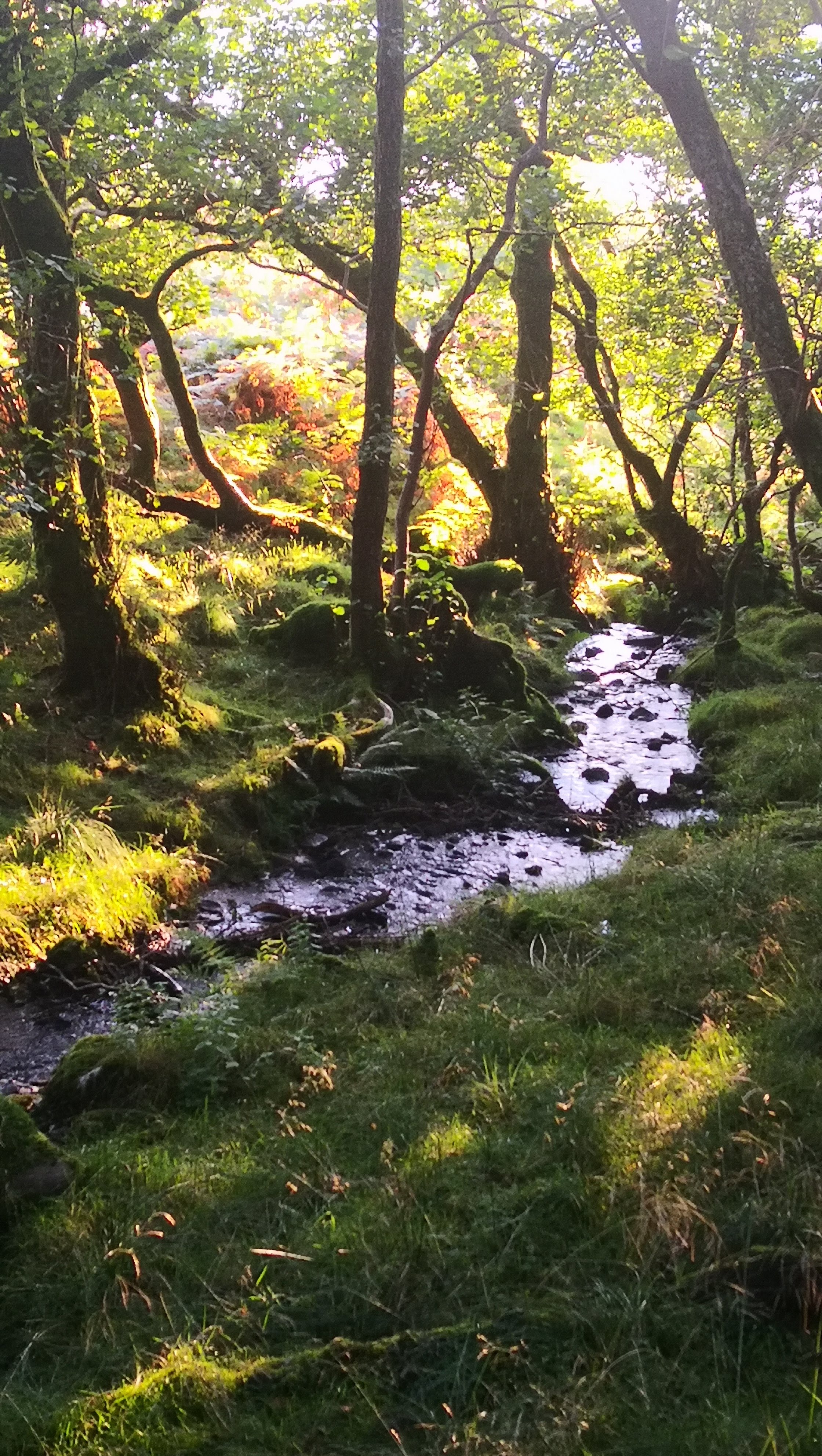
Before lunch, we stopped to have a break along the way. I went deeper in the forest that seemed quite mysterious, and I felt like I was drown in some fairy tale. It was enigmatic, bright, breathing, humid, alive. Apart from that, for the first time in my life I’ve seen the poisonous red mushrooms that we all had been warned not to eat in childhood!
We had a picnic with the first view on Loch Lomond in a very timely manner – it started raining right after we finished. 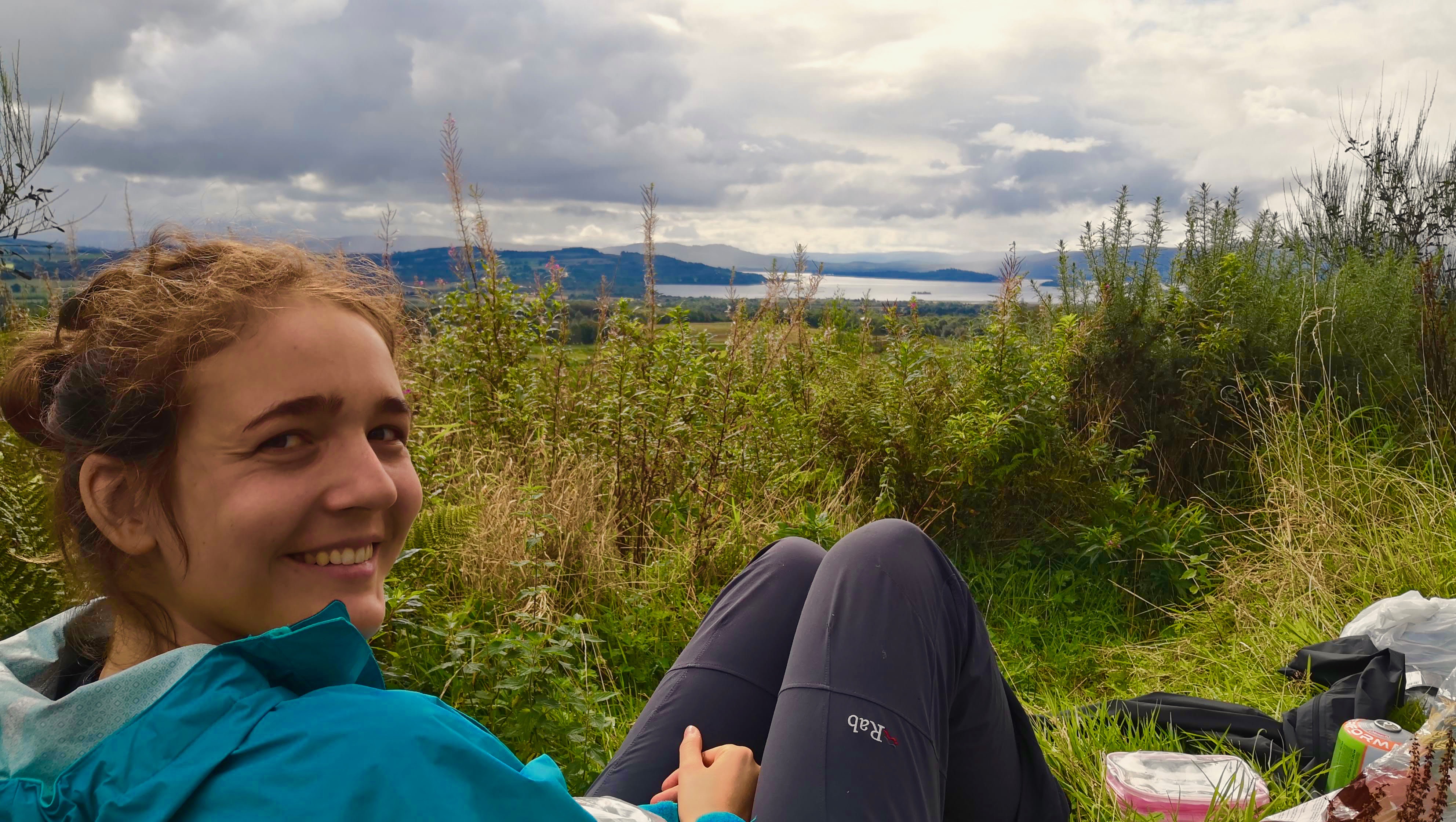 At this point I also realized I have lost my sitting mat somewhere in the last hour of my journey. Imagine how lucky I felt when about 20 minutes after a group of guys that were passing us by carried it and asked us whether it was ours! Later in the campsite we met them again and found out they were from London riot police. What kind of riot police is that? :)
Closer to the evening, we reached Loch Lomond, the largest Scottish lake, with a stunning panorama.
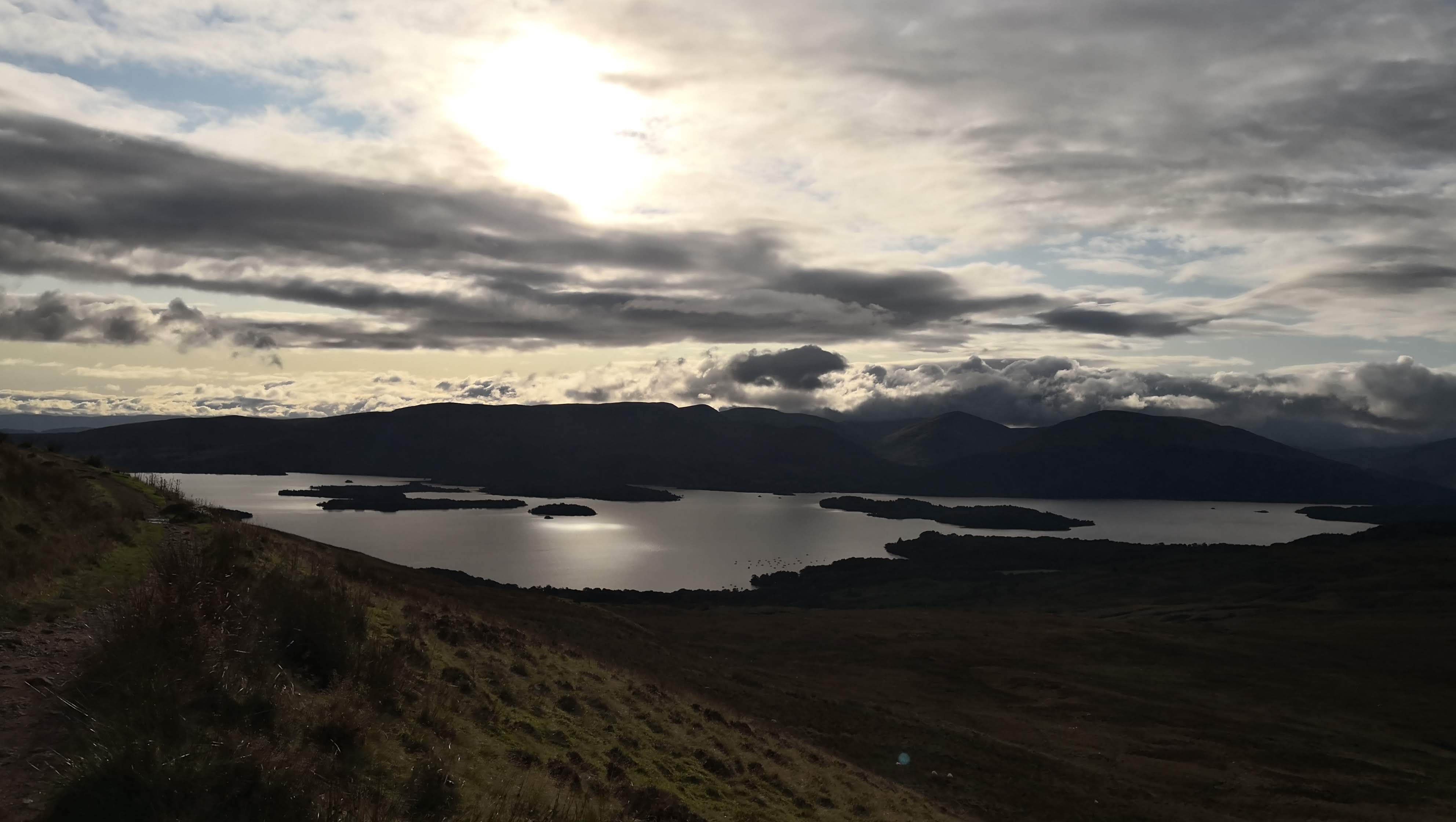
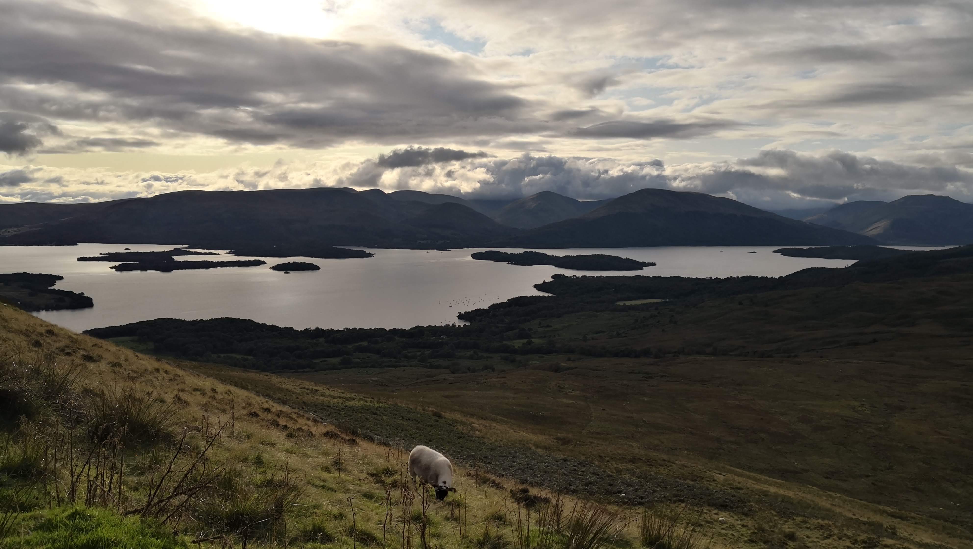
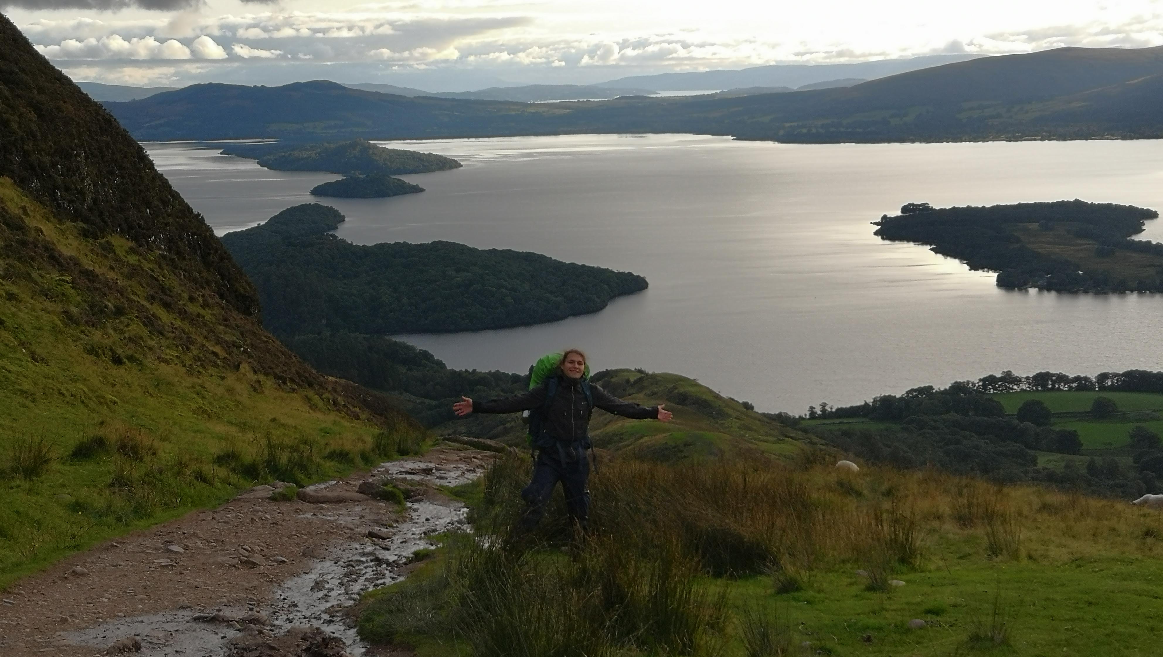
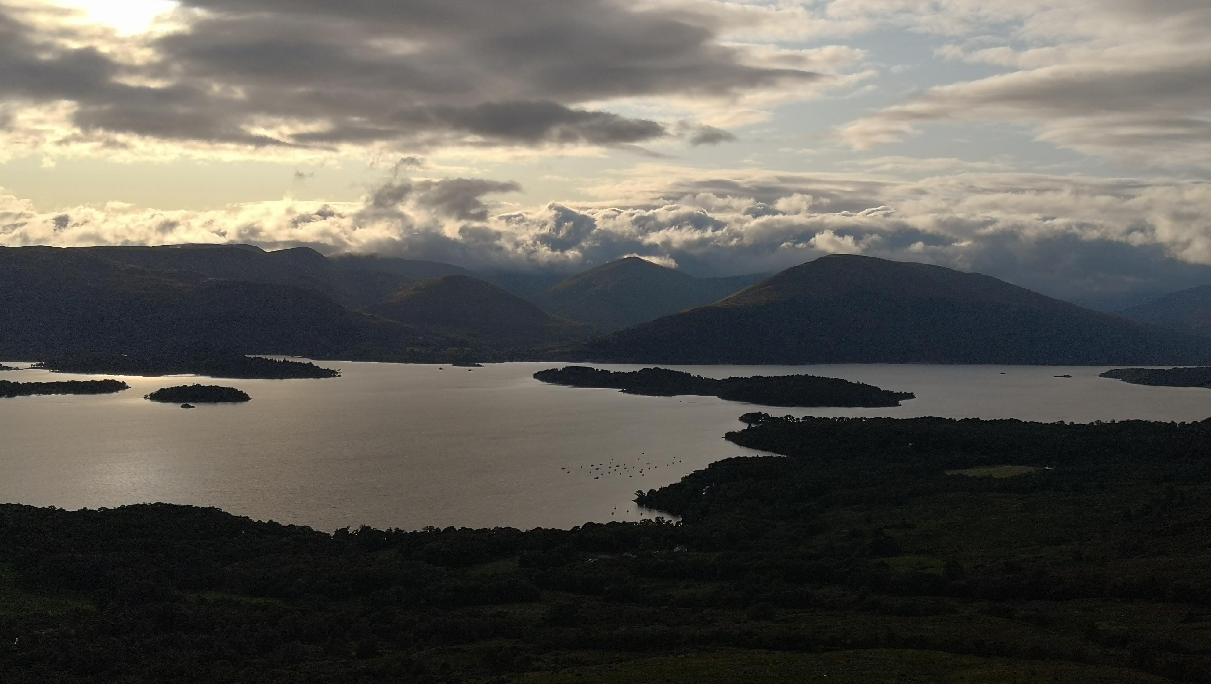
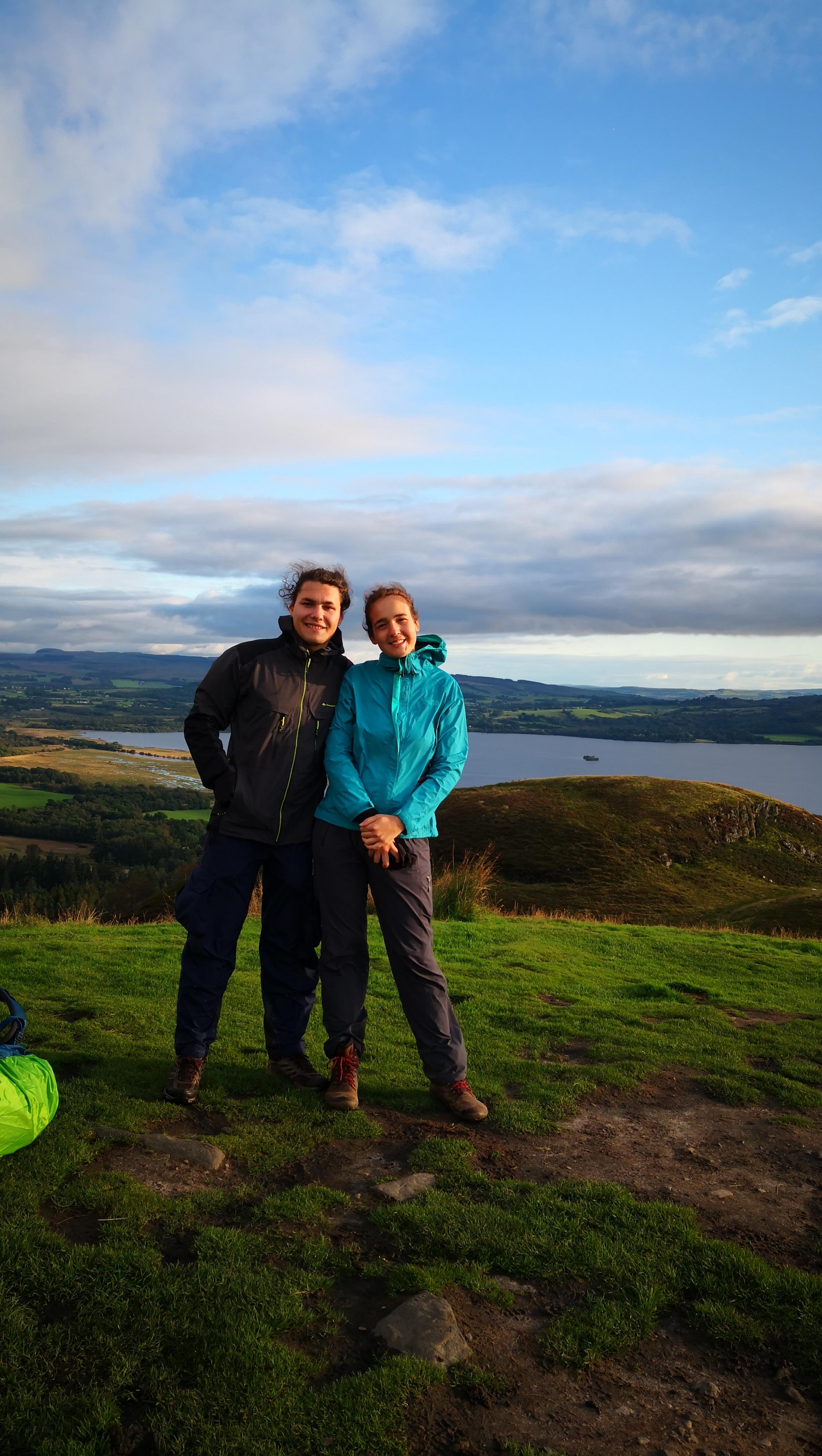
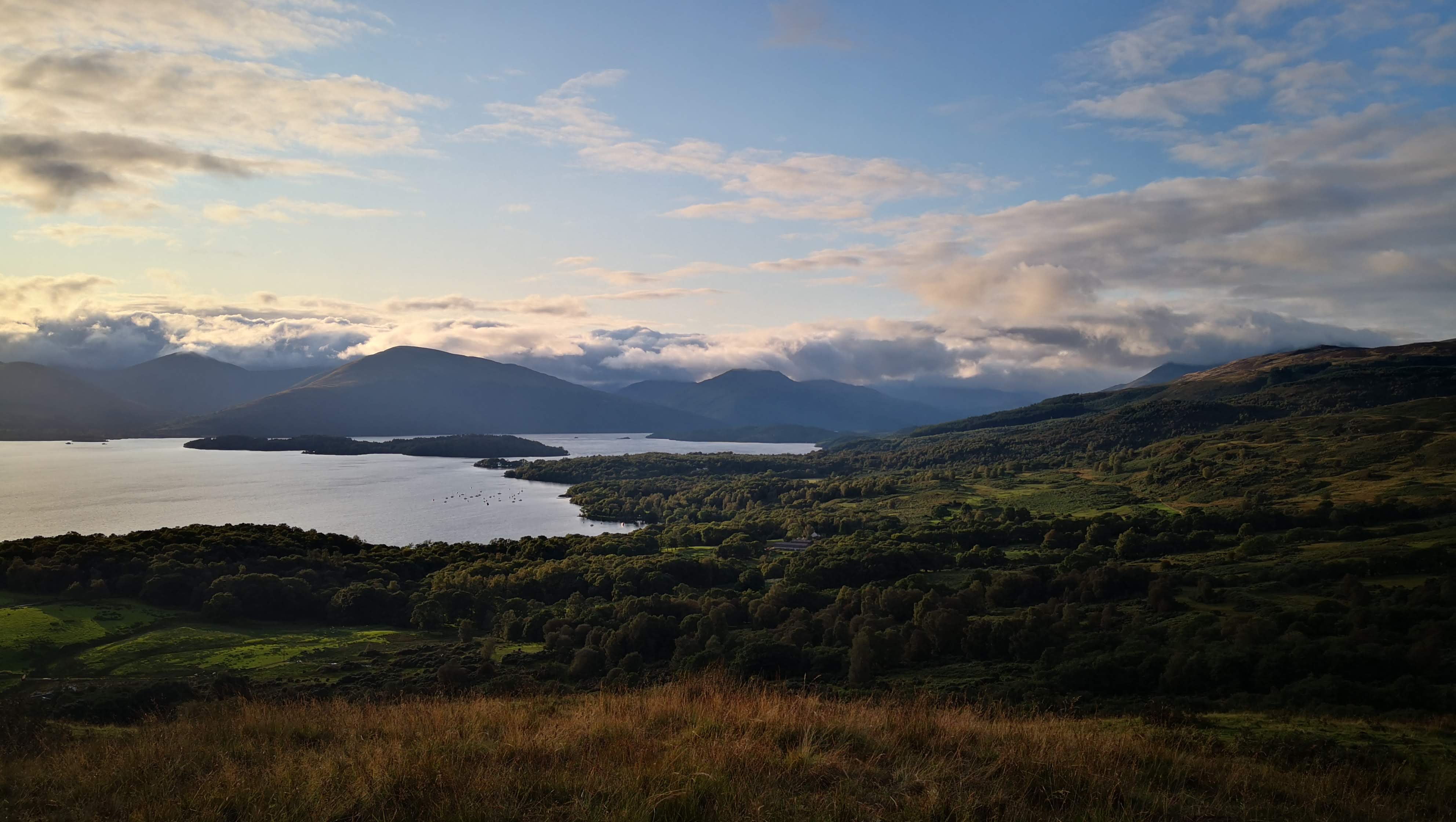
My pictures don’t really convey the full spectrum of landscapes that surrounded us at that point!
On our descent Alisa decided to have some freedom from the map and to choose an intuitive path. Though it led to a really nice area that looked like a Biblic Edem in my imagination, later on we had to break through some heavy bushery and swampy land. Prepare for a challenge if you abandon the route!
Finally, we reached the shore of Loch Lomond. At this point of time, we were very tired, and the idea that water can wash away our weariness became irresistible. With little hesitation about the water temperature we had a swim! Concisely it can be described as a sharp and terrific feeling of being alive.
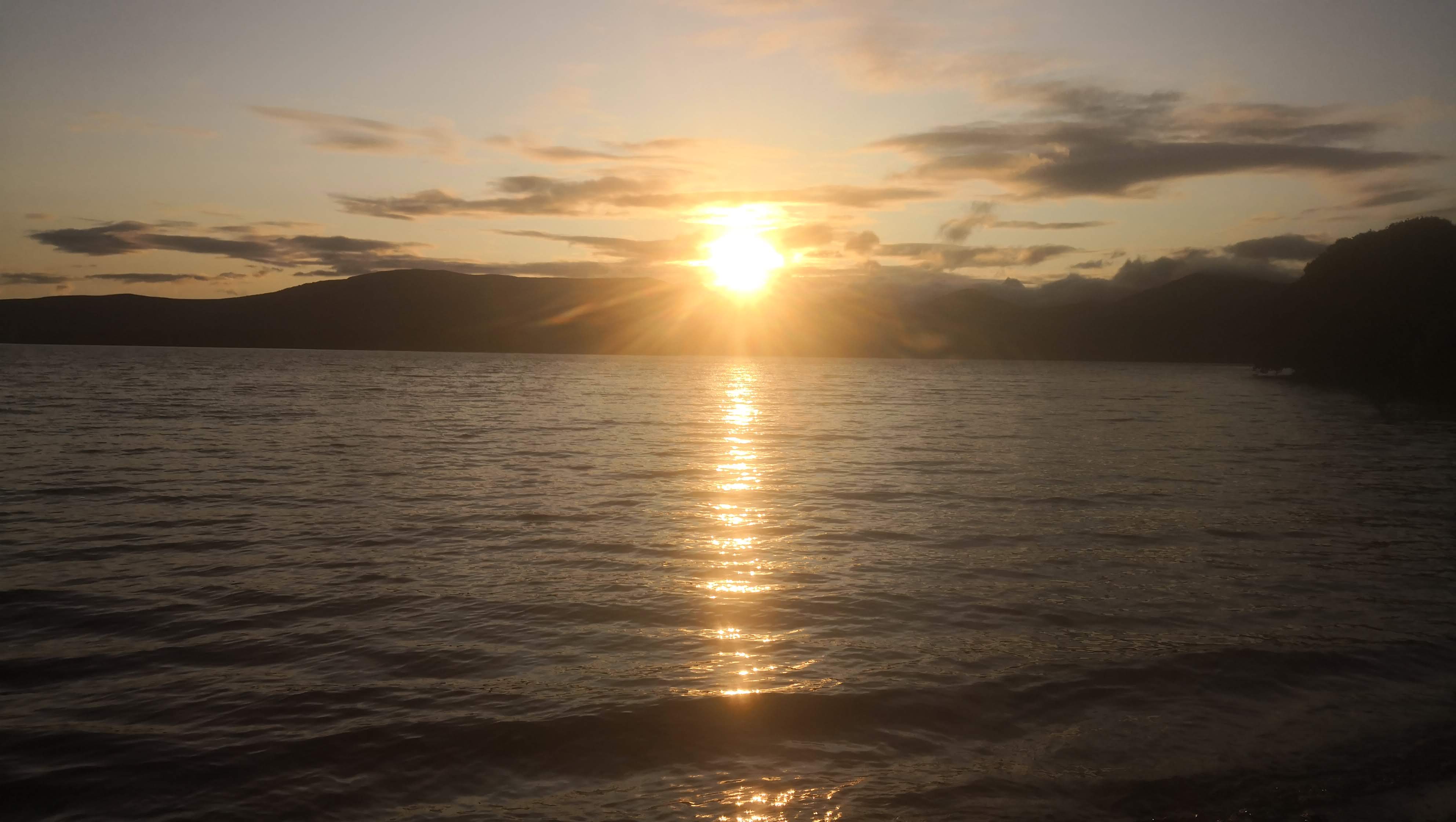
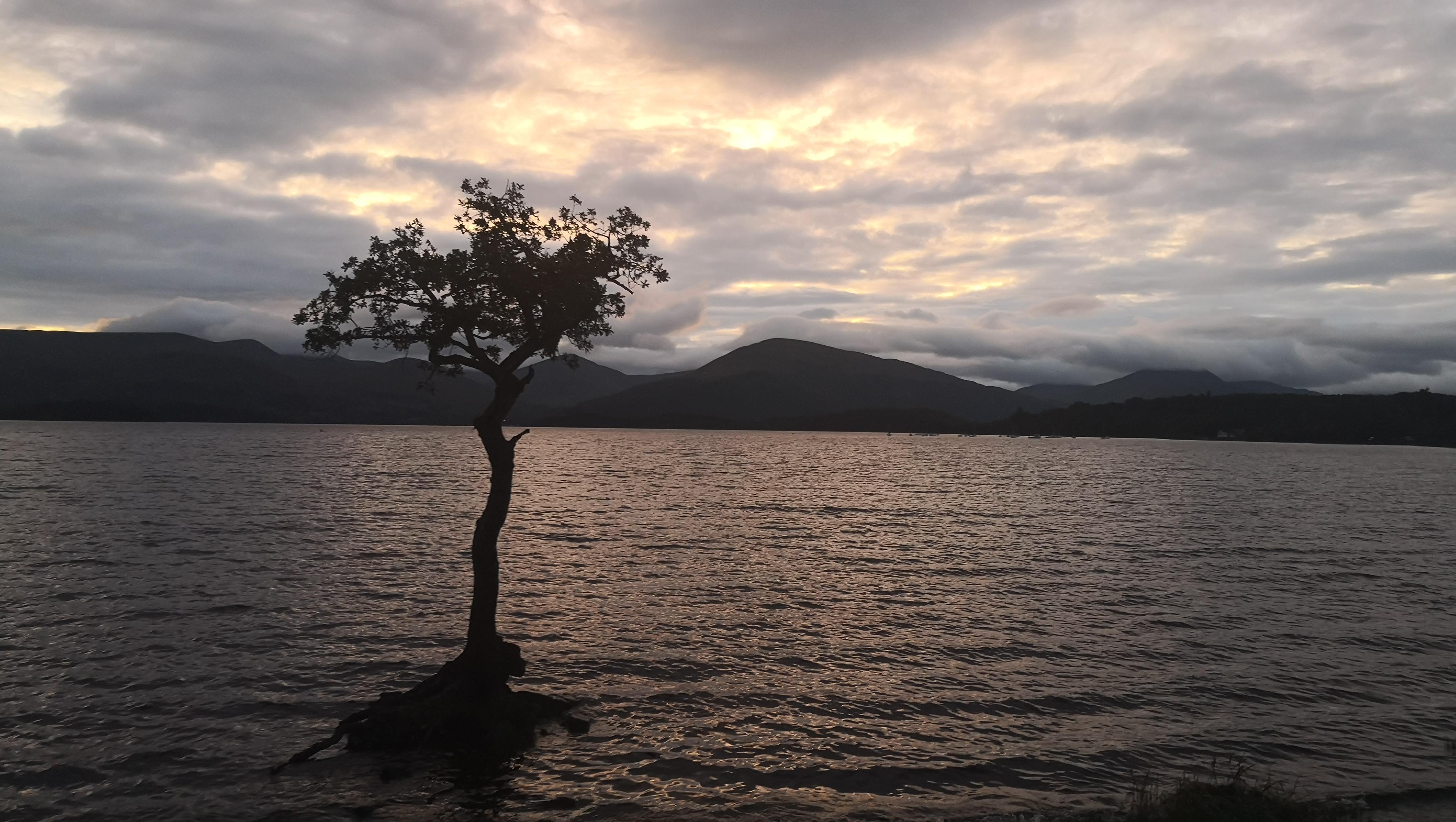
We arrived at the campsite quite late, so we had to set up a tent in the dark. One interesting newspaper cut on the wall:
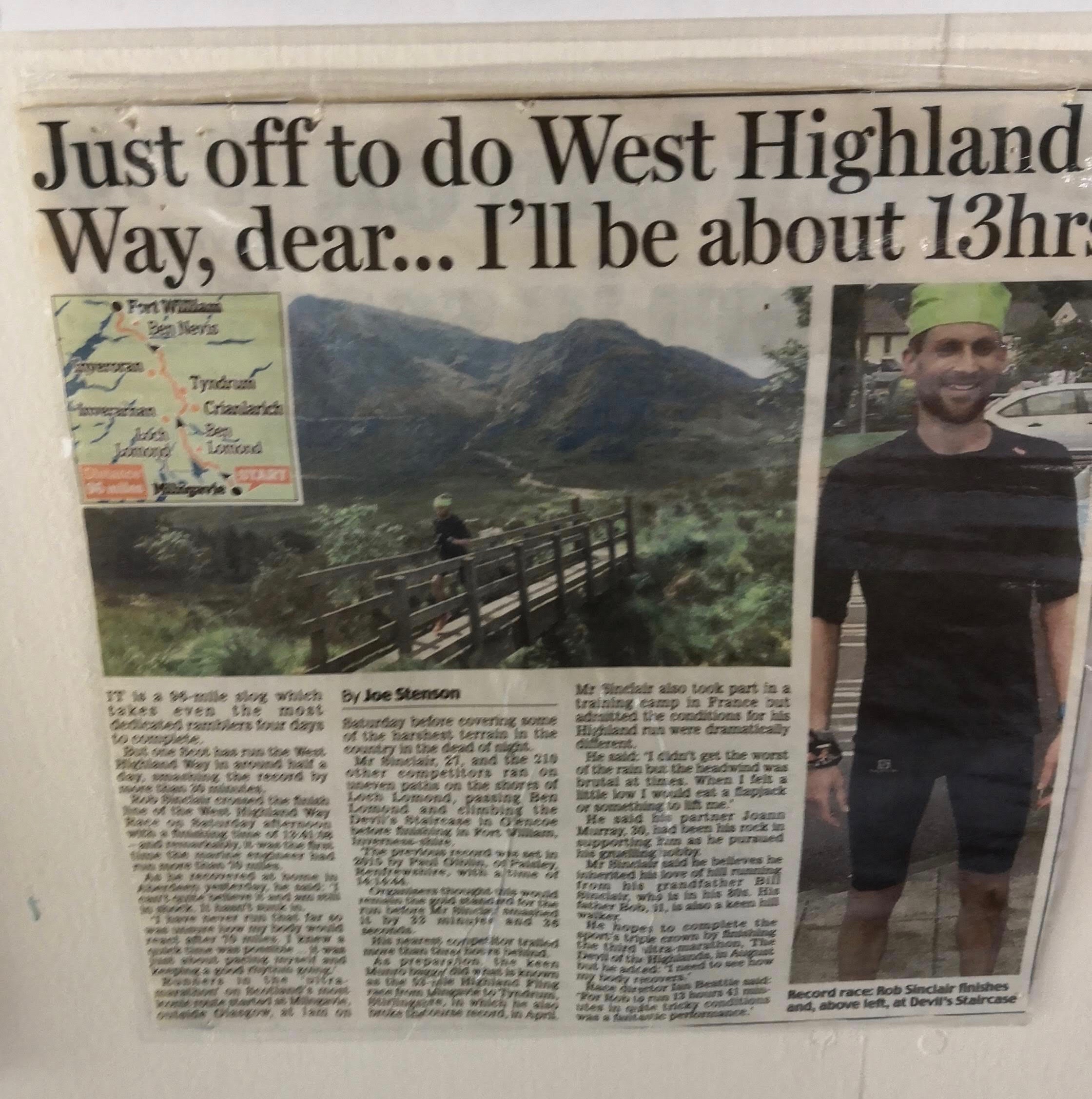 How about some inspiration? The record time to complete WHW, 152 km, was 13 hours 37 minutes.
Day 3. Milarrochy Bay to Lochan Maoil Dhuinne, 7.4 km
We woke up at about 9 am due to not setting an alarm, and it took us regular 3.5 hours from awakening till being ready to go. This included having the morning routine, breakfast, packing backpacks and the tent. The amount of time spent on these activities is quite daunting, and during the whole journey I wasn’t able to reduce it to less than 3 hours without a rush.
We started off at about 12:30, and at the lunch break, we had the turning point of the hike - Alisa decided to quit the route due to health issues. She started having throat pain already on day 0, and the increasing physical weakness made further (quite demanding) parts of the route too hard for her. We discussed that and agreed that it was best for her to leave the next morning, and I would continue the journey until the end.
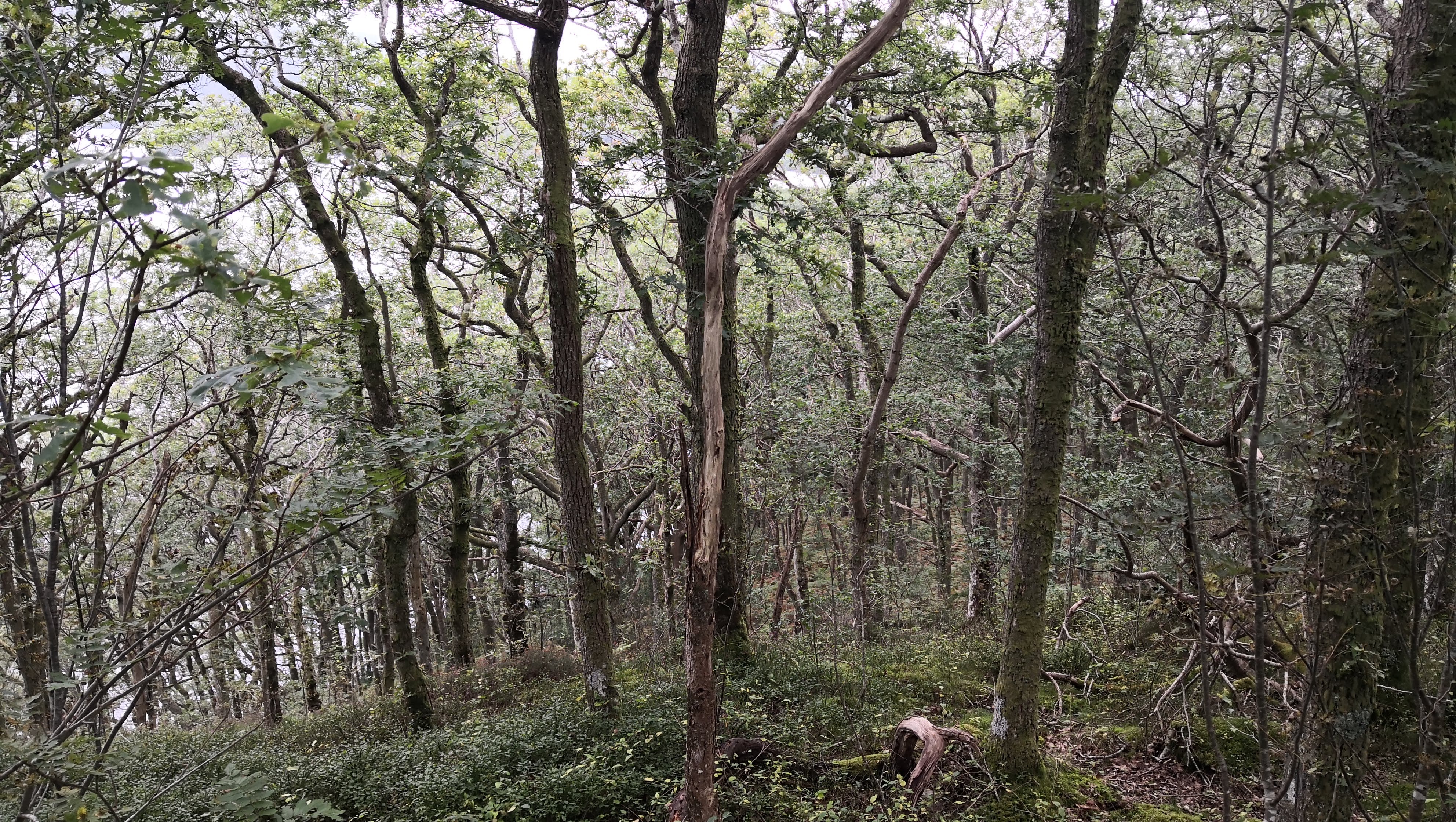
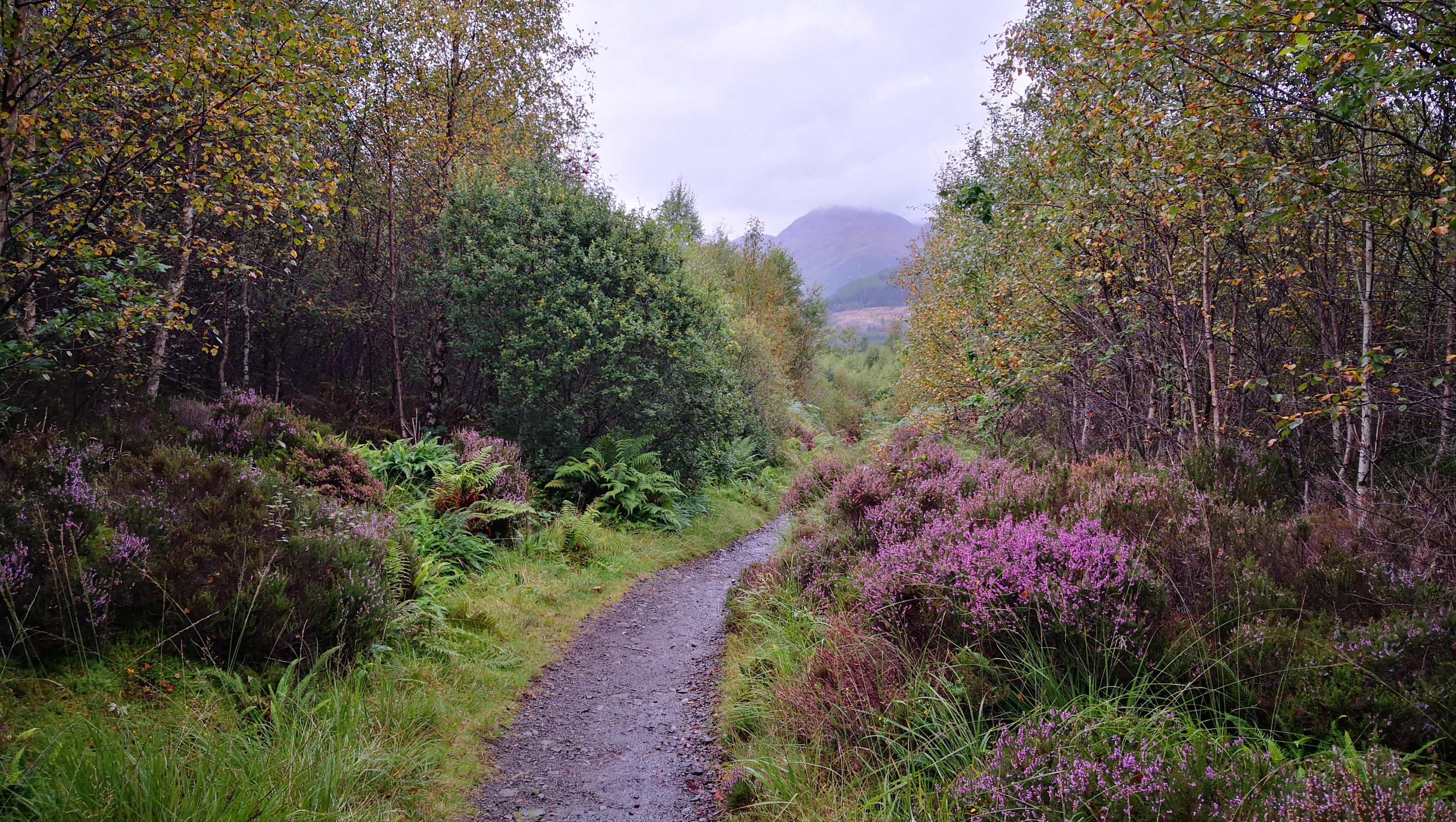
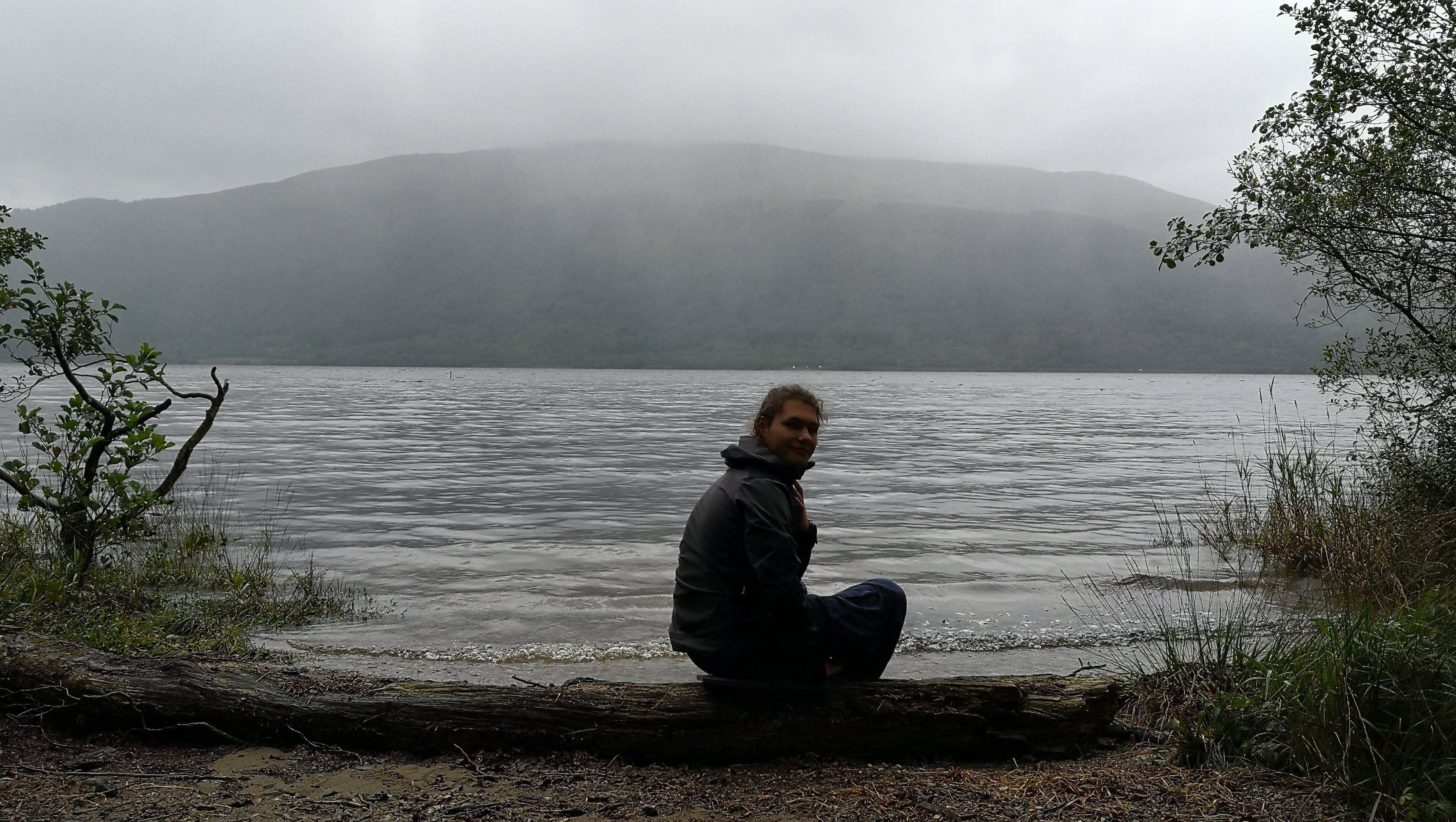
Due to the late start and limited opportunities to leave the route at this point, we made a very short progress and decided to settle on an unmanaged campsite.
Day 4. Rowardennan to Beinglas Farm, 24.6 km
The night near the lake was the harshest in the whole journey – it was raining all night long with a strong wind, I woke up multiple times to check whether our tent had been withstanding the wind fine.
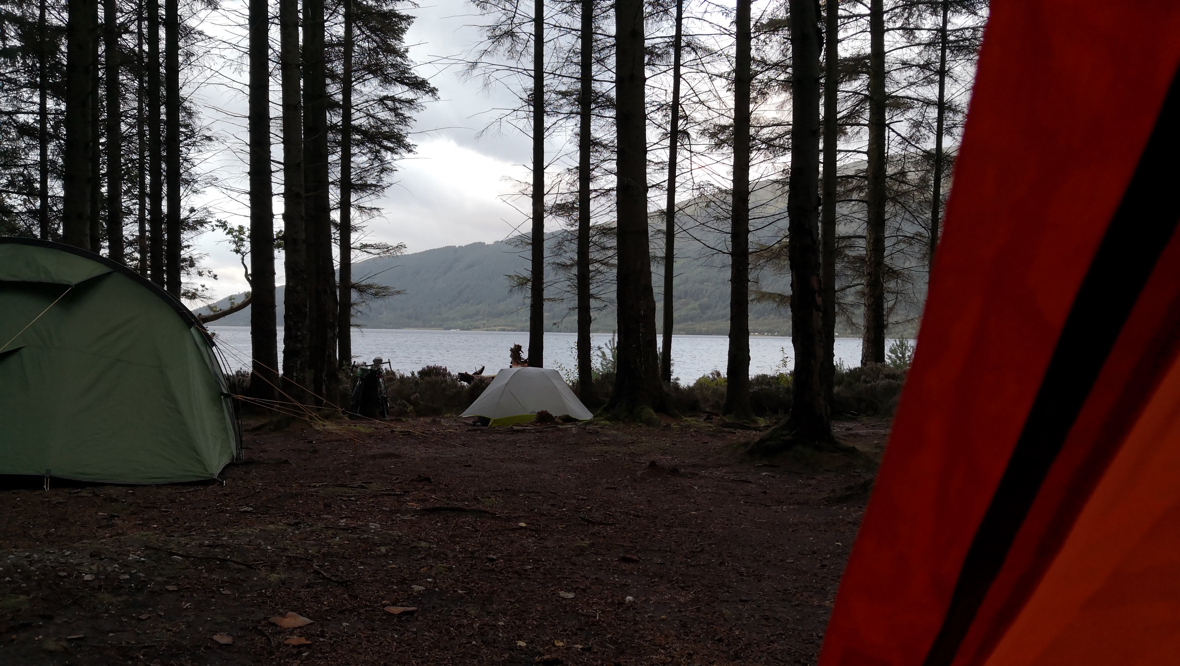 Nice stillness after a stormy night
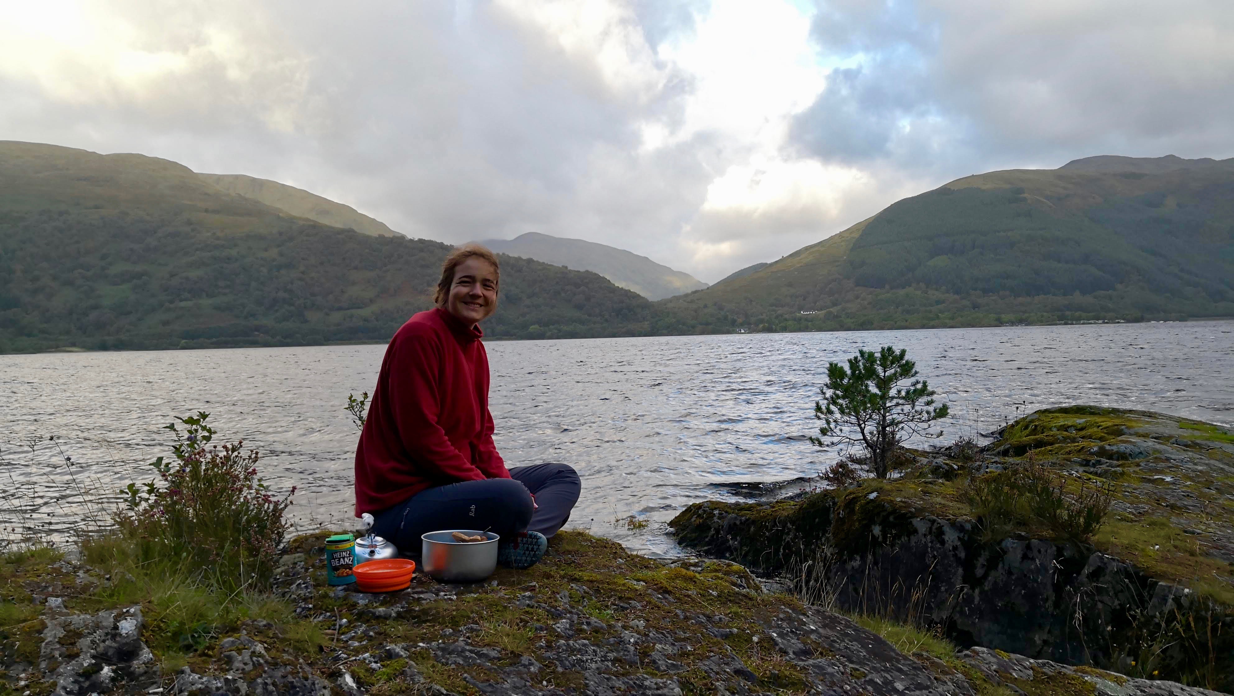 How to simulaneously have an unglamorous and royal breakfast
Alisa left shortly after breakfast, so I started a walk on my own for the first time. Since we made quite a small progress on the last day, I had to catch up significantly comparing to the original plan, and I was going to walk 30 km on that day. I did go in a good pace, but the rugged terrain with lots of ups and downs made it hardly possible to walk faster than 3.5 km/h, which made my original plan less realistic.
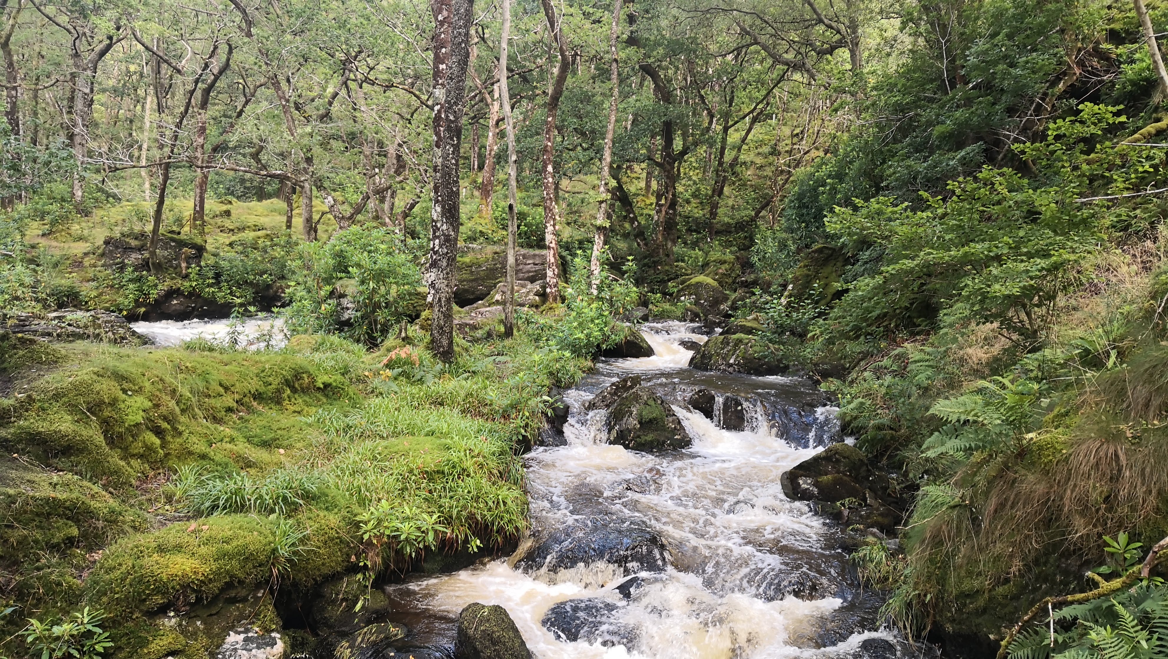 Lots of beautiful waterfalls along the way
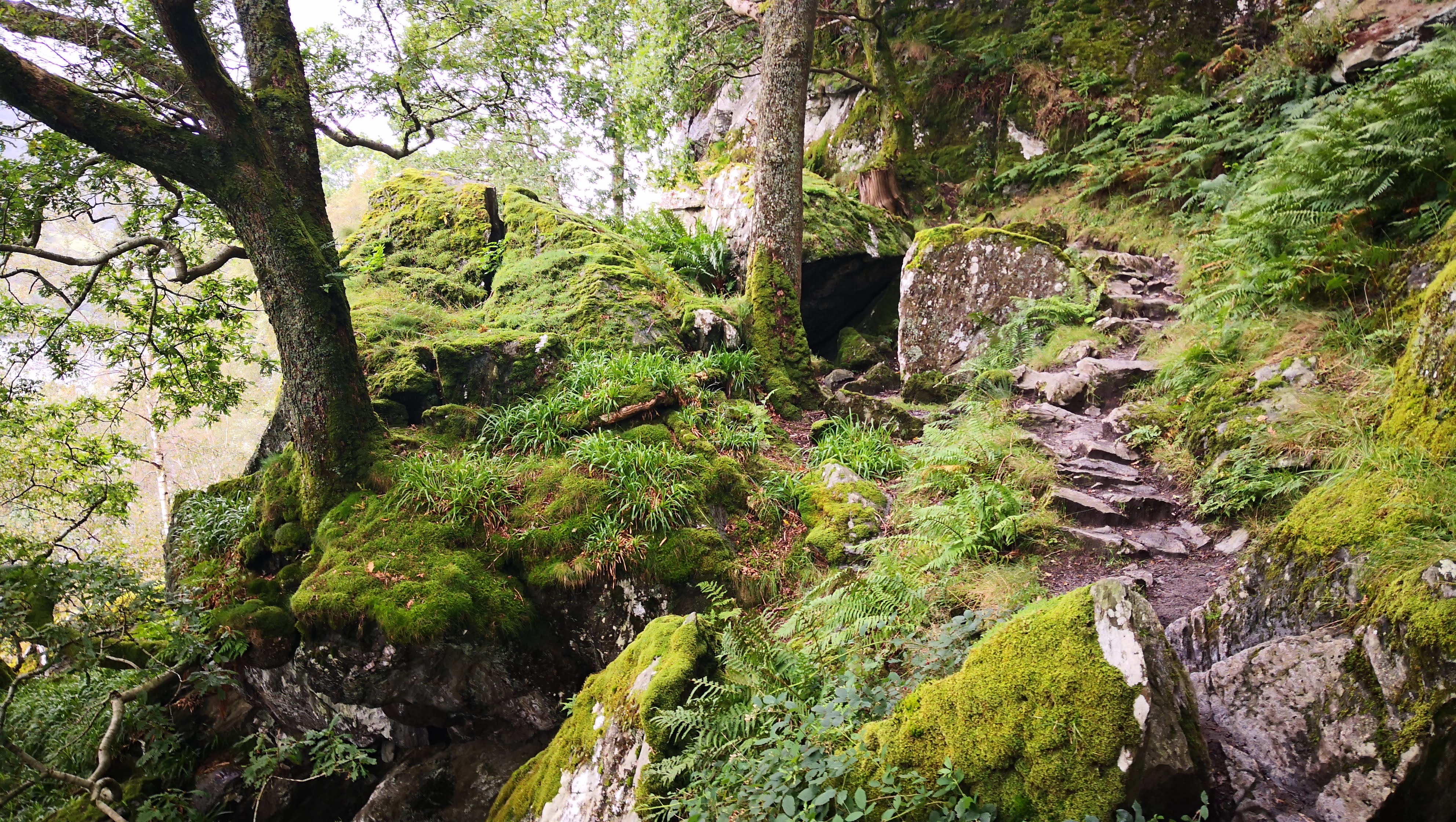 Typical part of the way along Loch Lomond – you need to be rather trained to walk fast throught this.
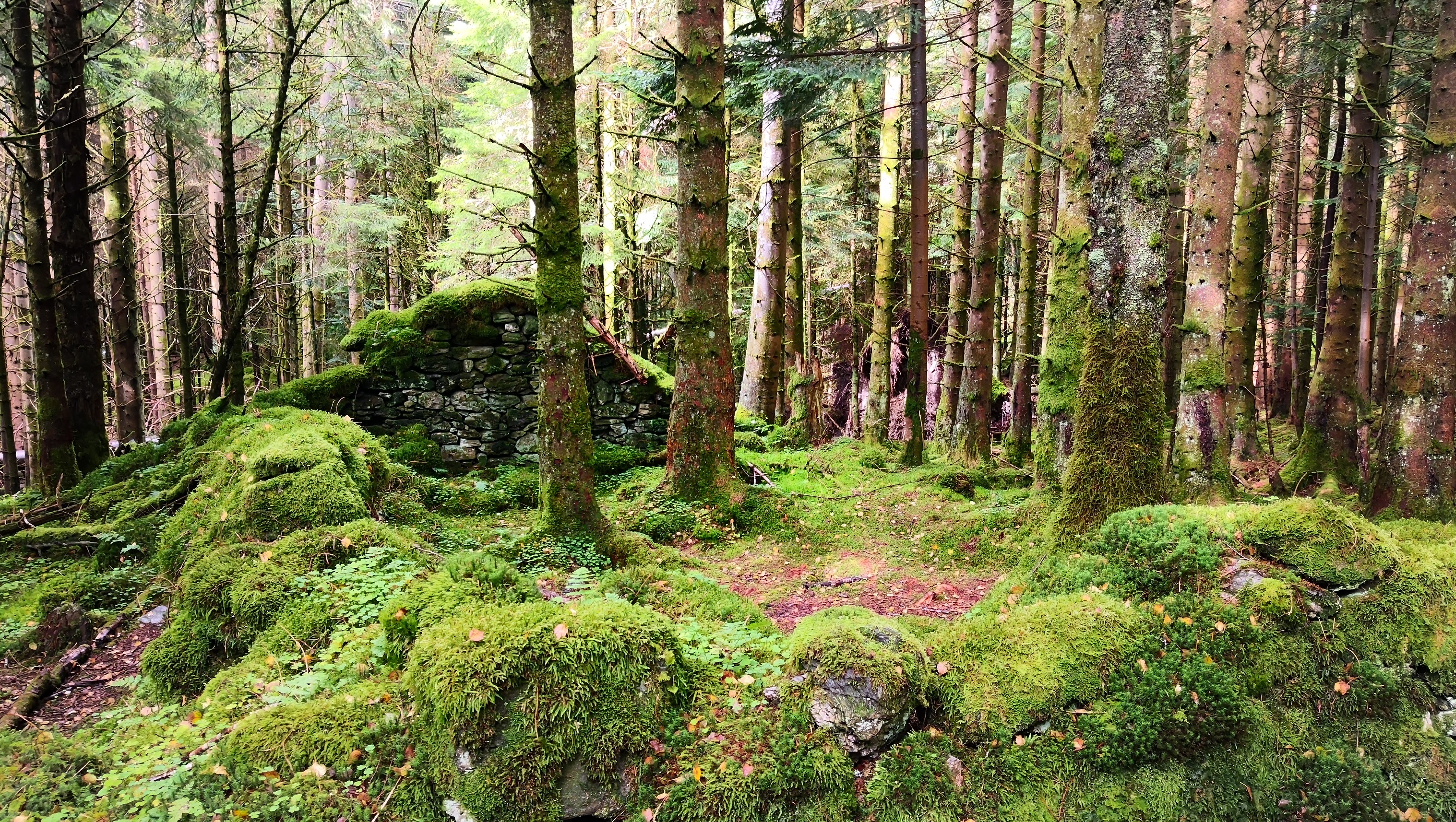 Looks like a refuge built by some insurgents
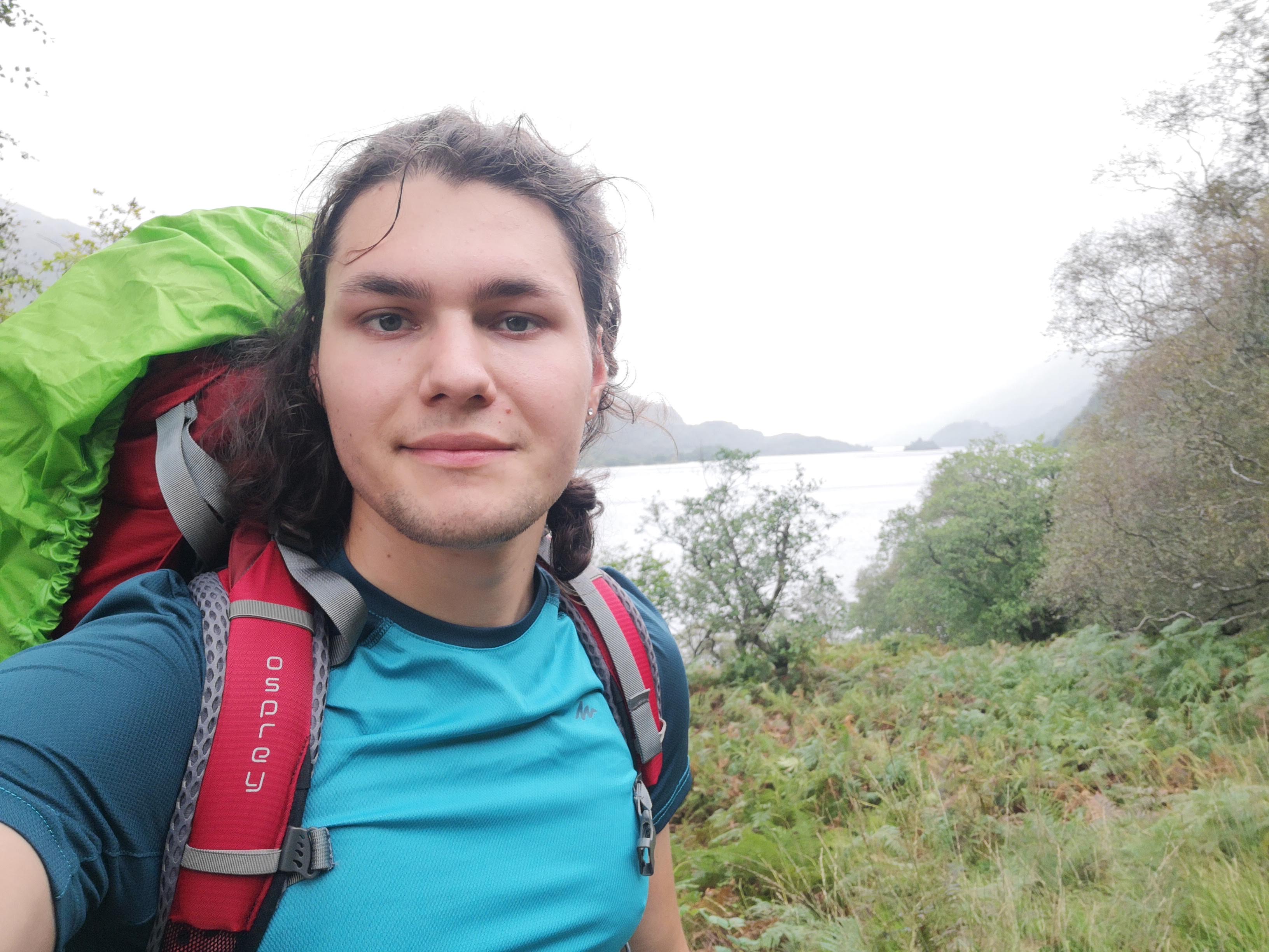 Getting closer to the destination!
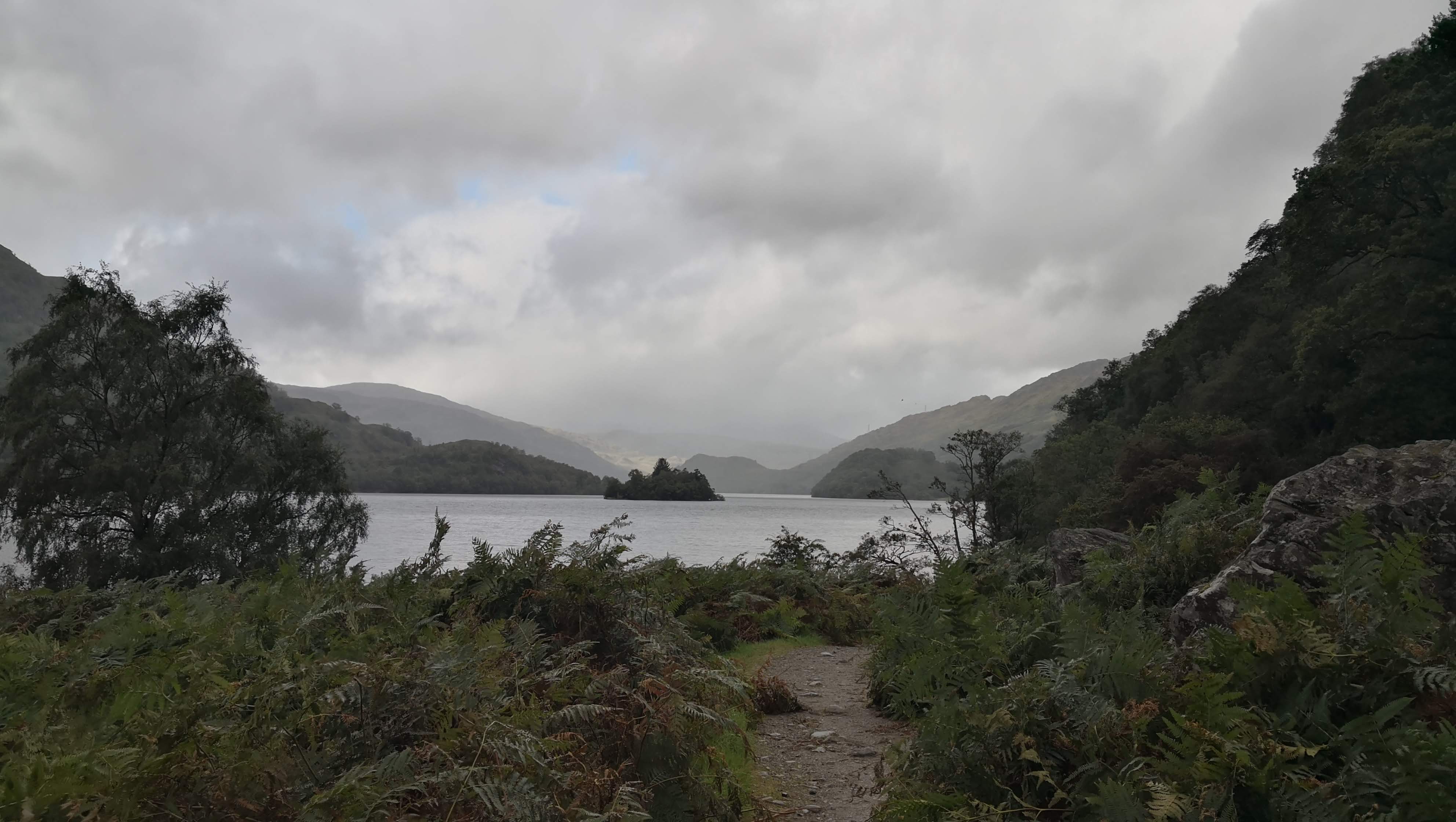 This is how I imagined Vietnam
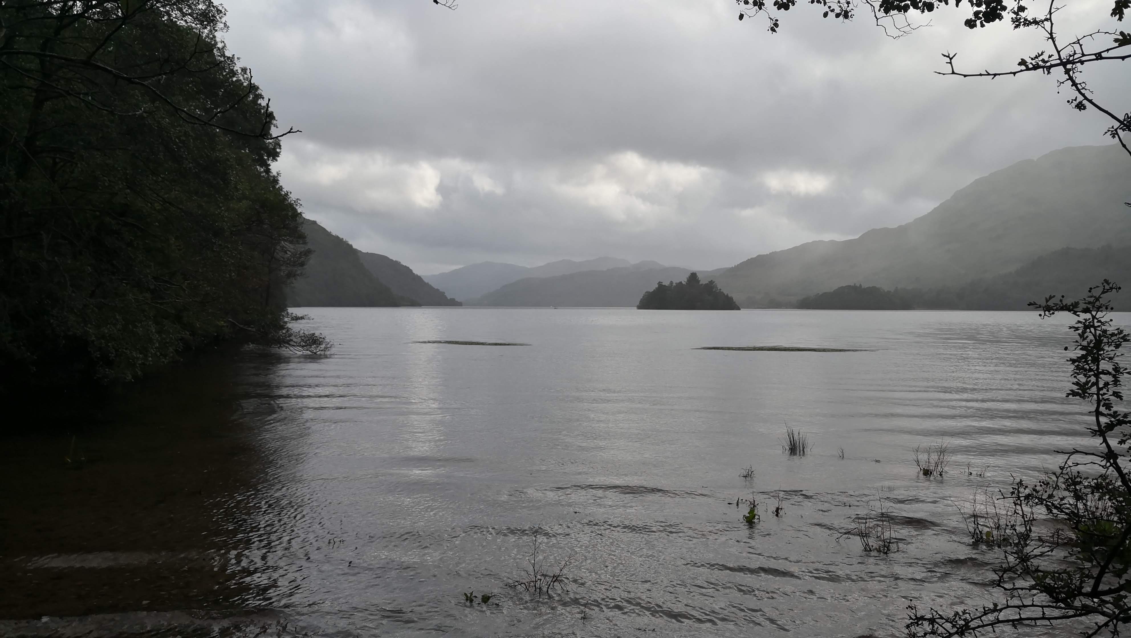 One of the last glimpses at Loch Lomond
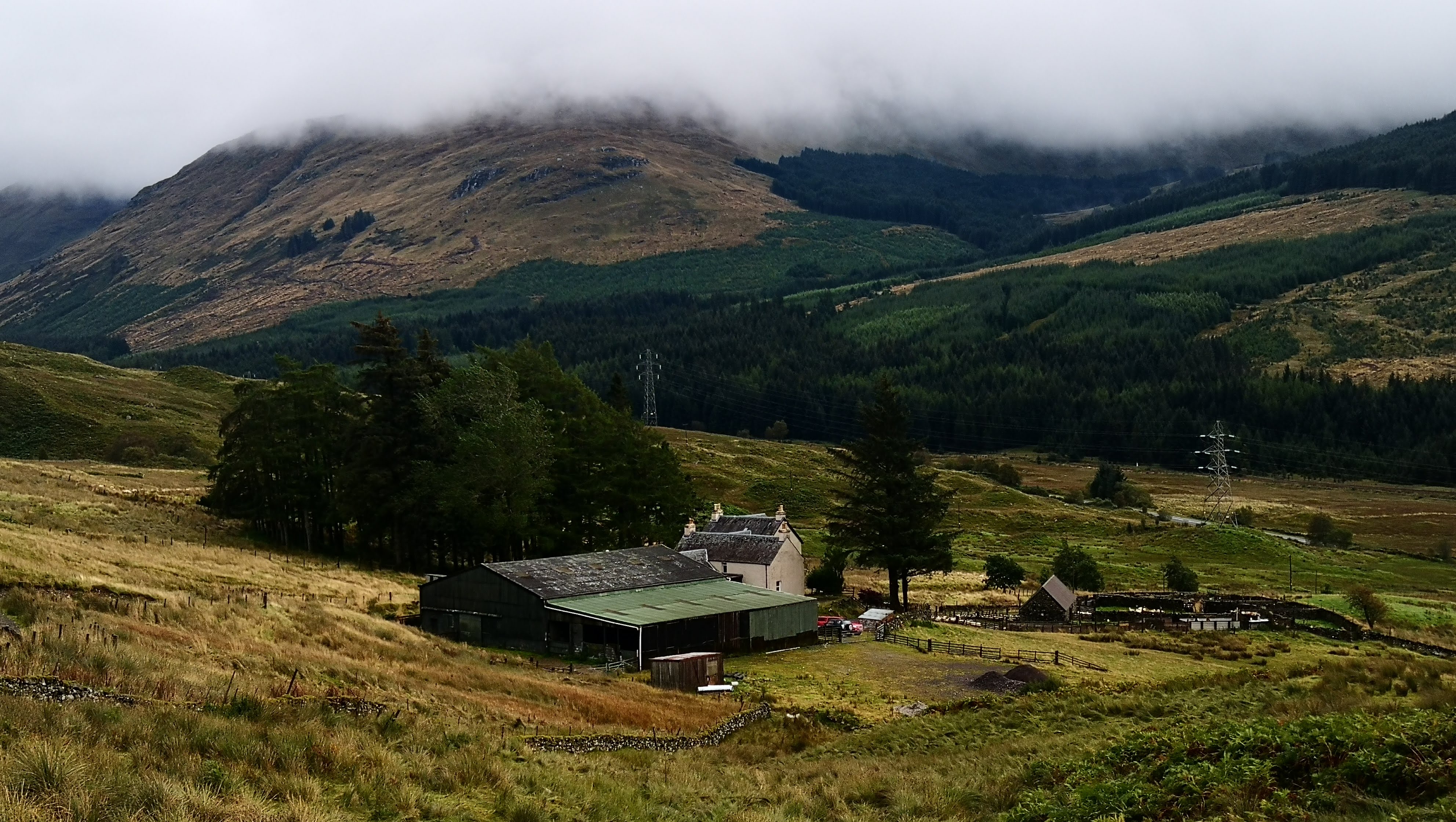 Simply an amazing valley
Day 5. Inveranan to Tyndrum. 17.5 km
On this day again I had a plan to walk 33 km, and again my pace was below the one needed to make it in one day. I reached Strathfillan Wigwams where I was supposed to have lunch at 3 pm.
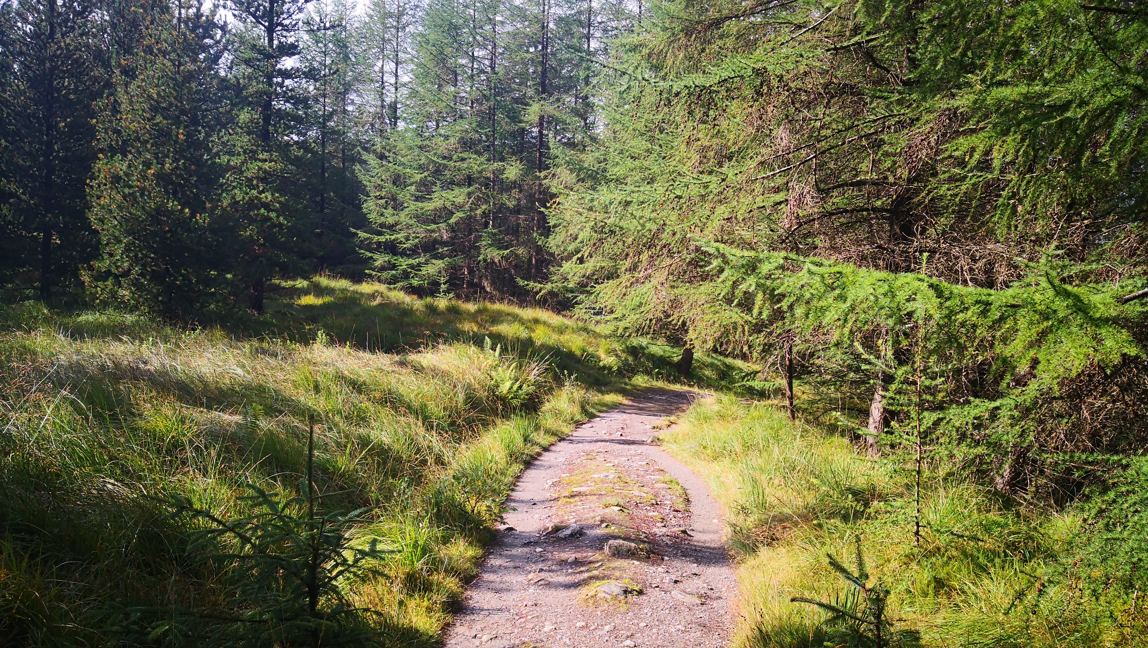 The weather was nice, the walk laid through a forest, something I miss so much in Cambridge
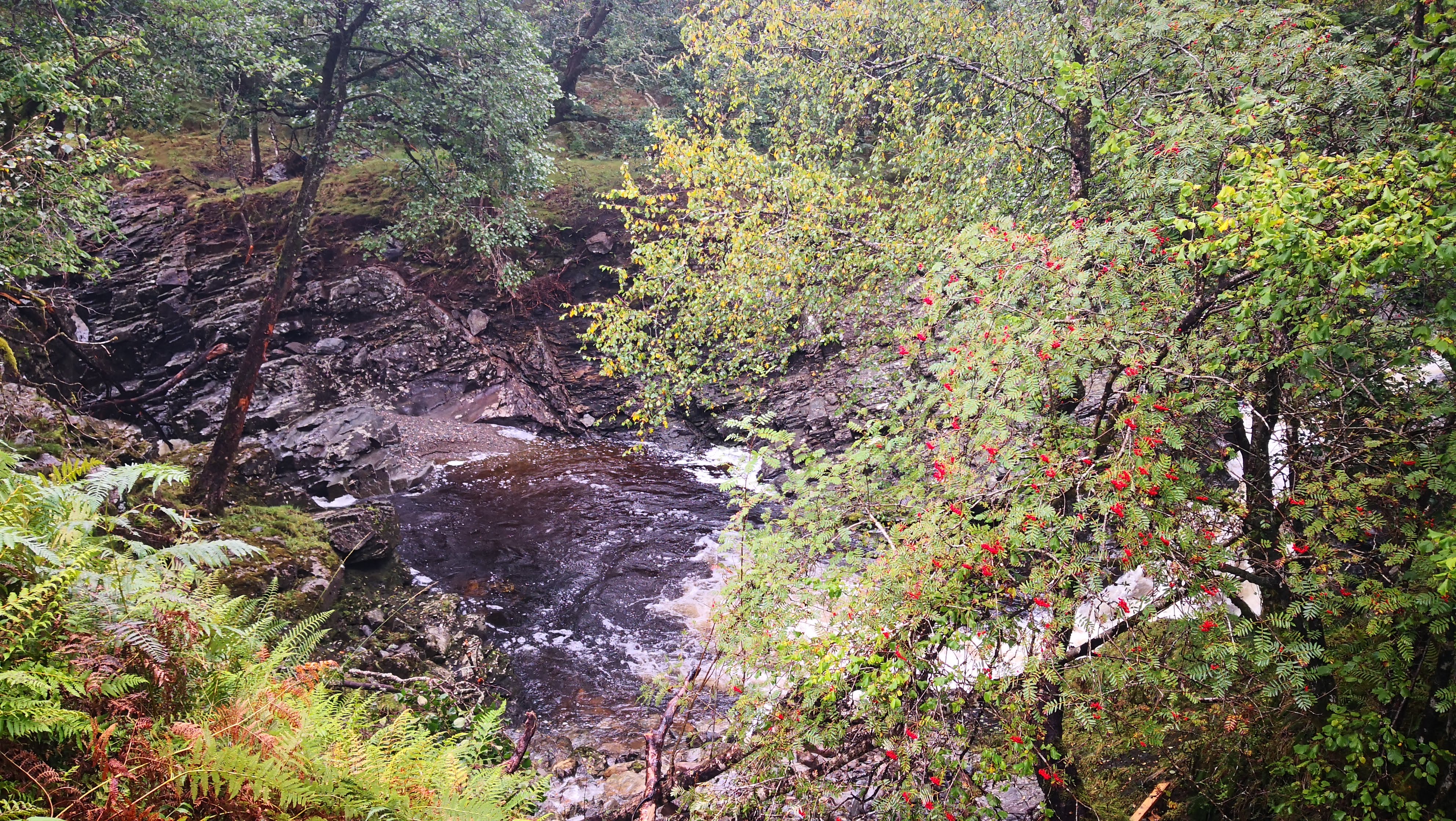
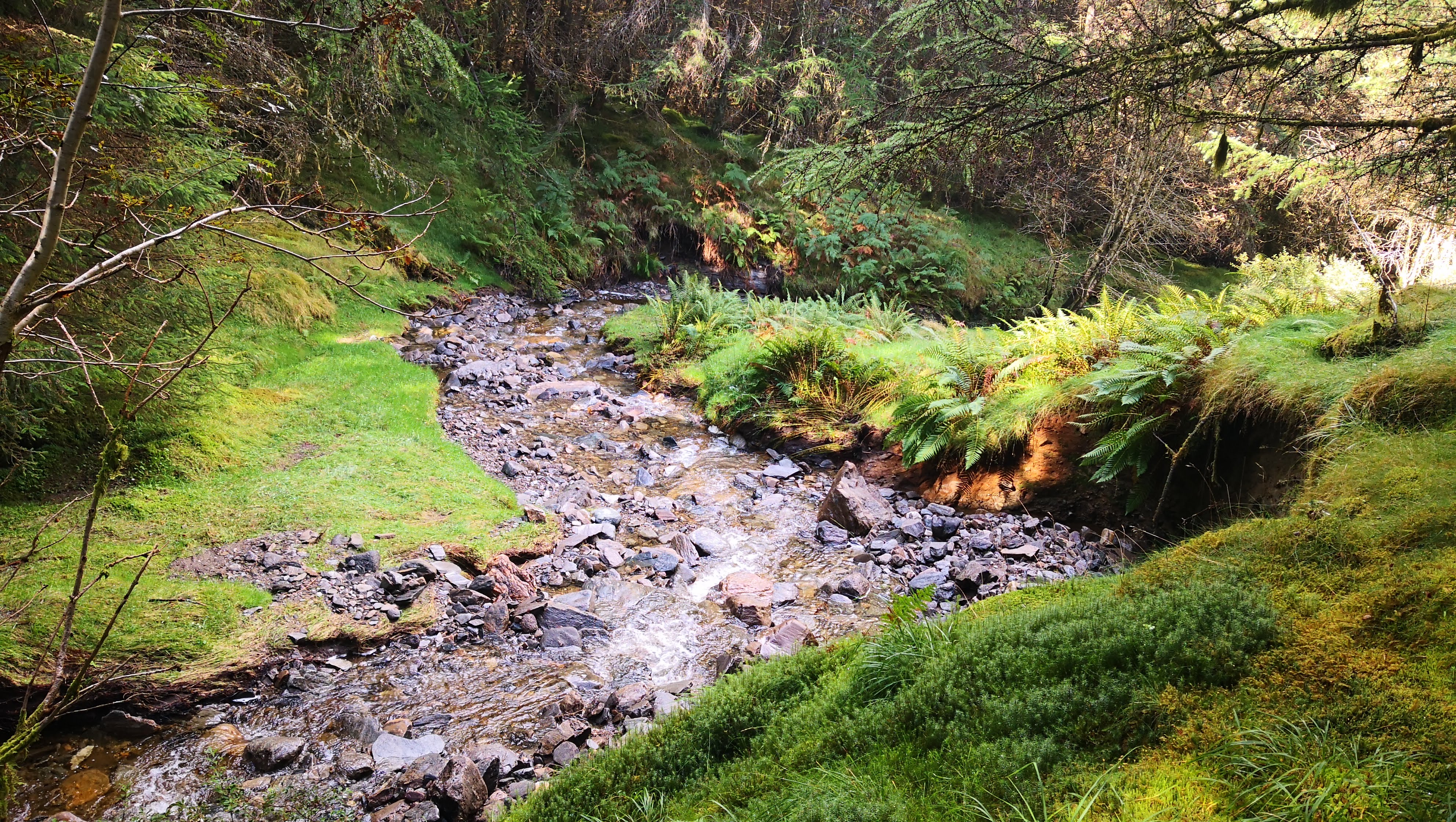
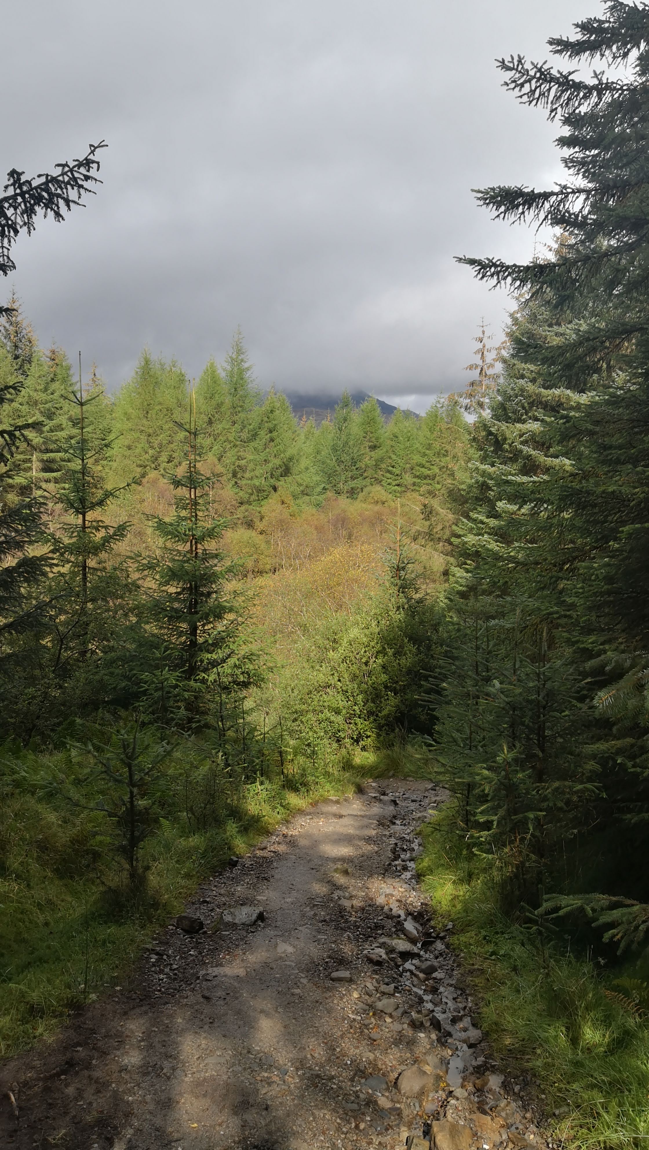
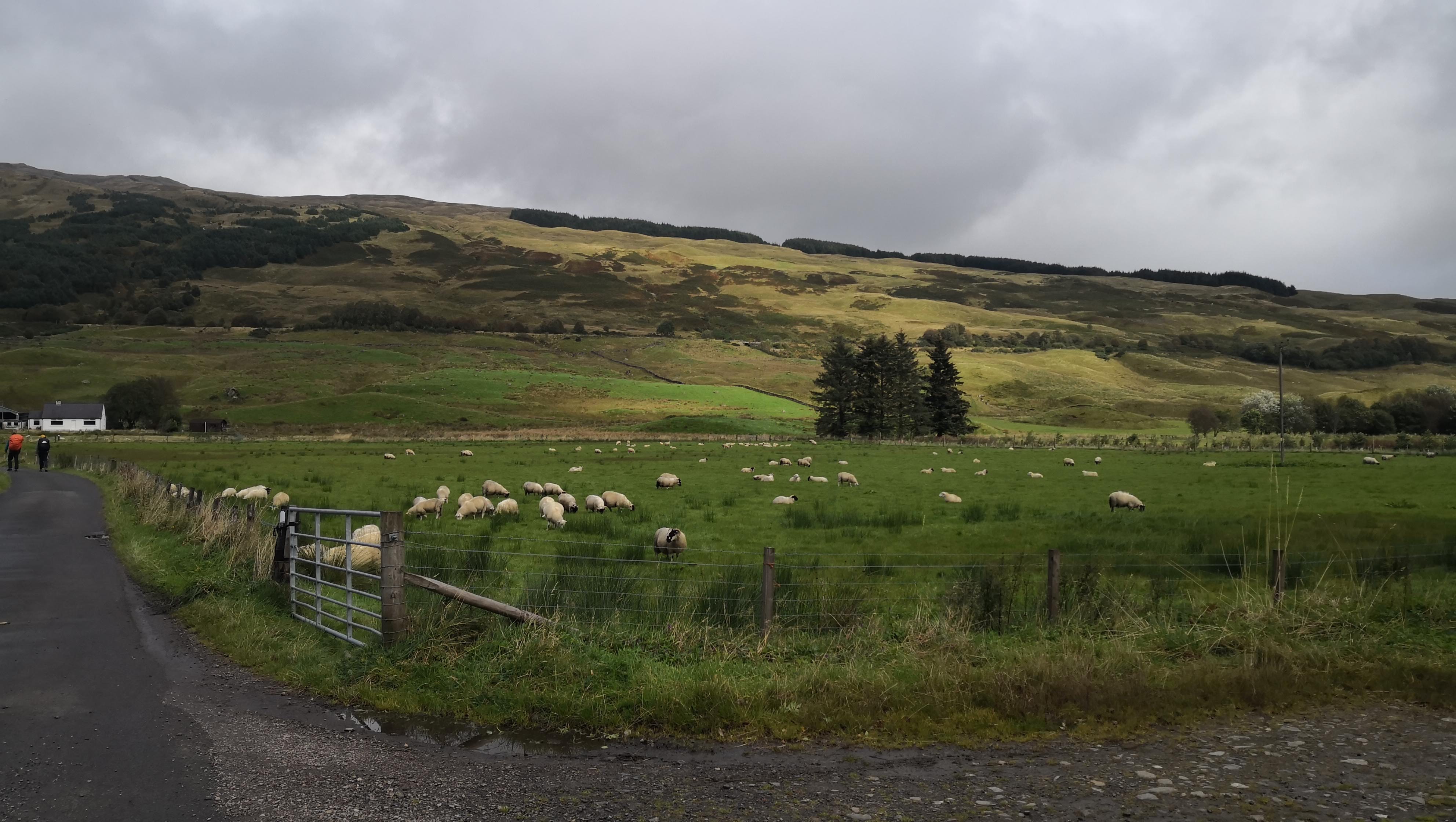 Sheep were the most occured animals on the route
While having lunch, I had a chat with a seller, who kindly pointed out that further walk to Bridge of Orchy will take about 5 hours and let me know of a train connection between Tyndrum and Bridge of Orchy. I decided to go to Tyndrum, take a train to Bridge of Orchy and camp on a free campsite there.
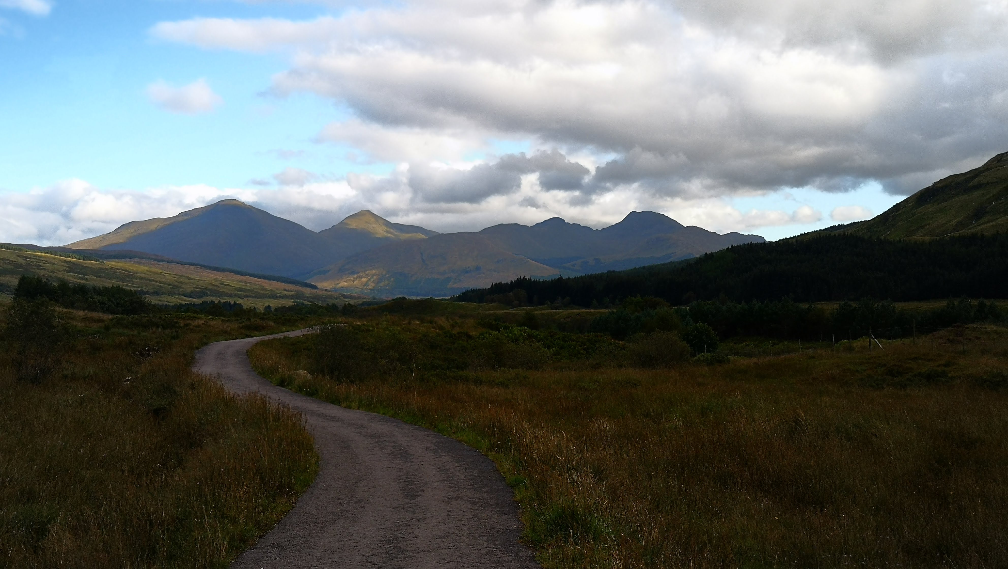
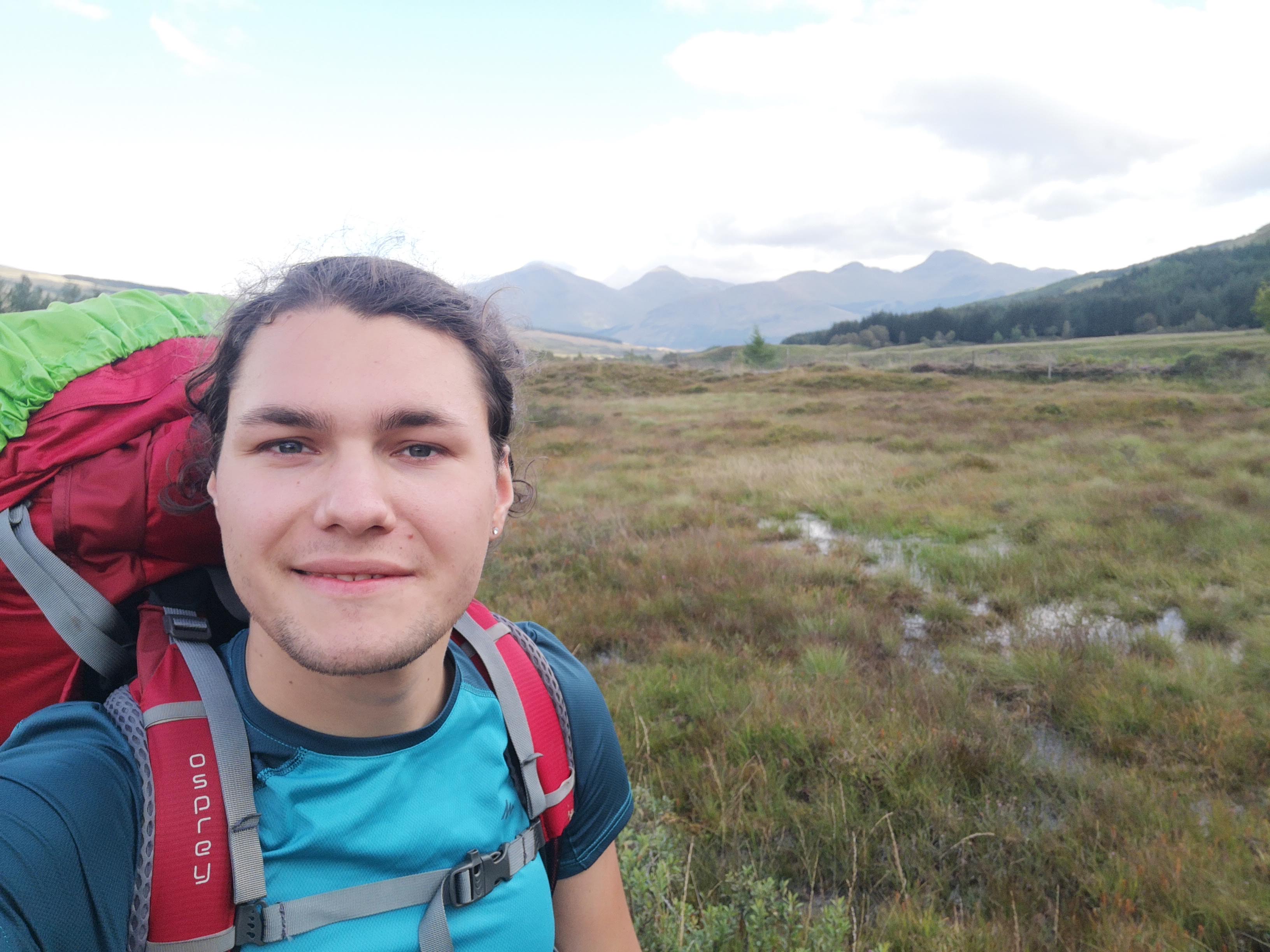
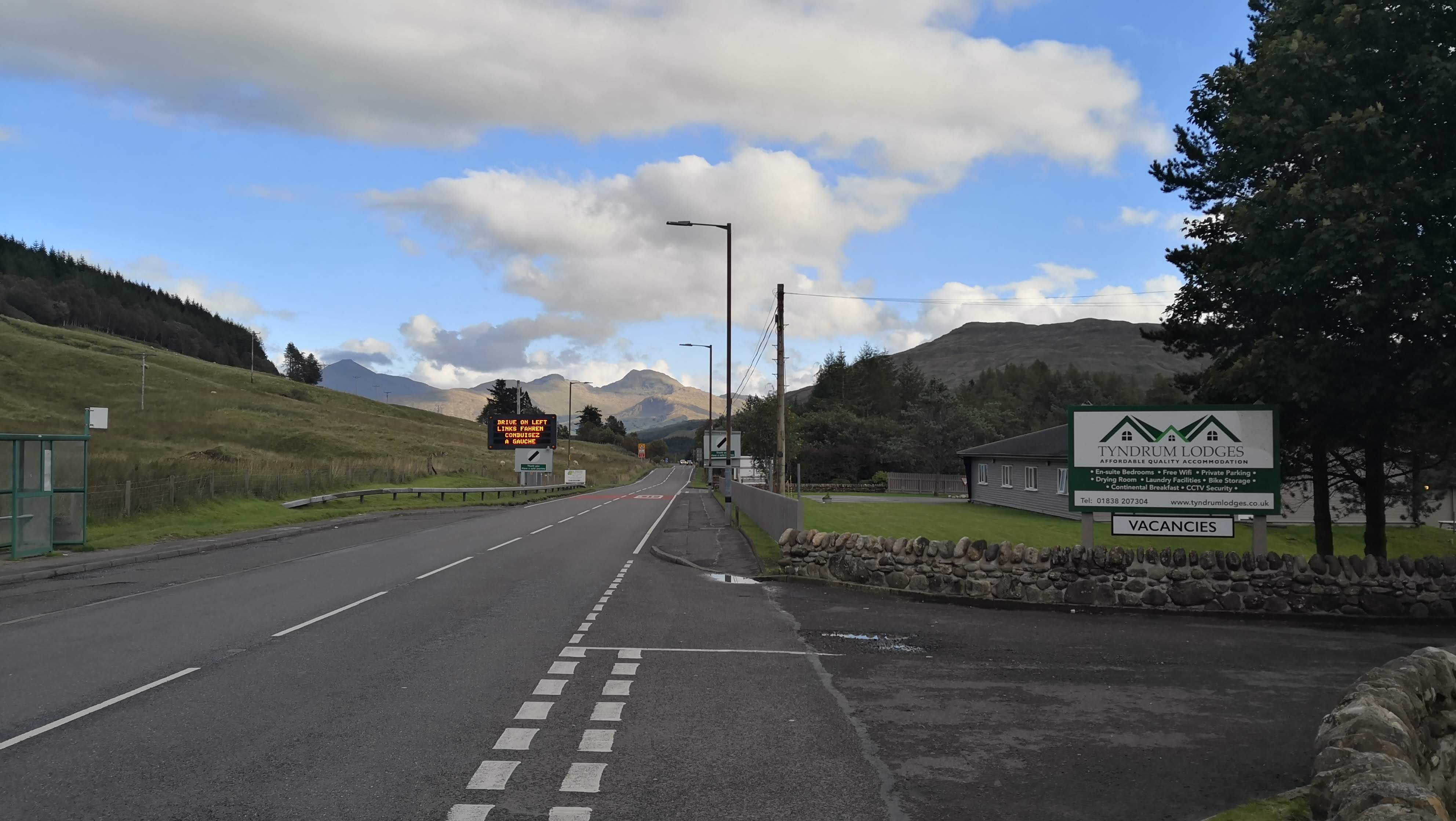
The roads are not very busy and there is a reminder in multiple languages that drivers have to drive on the left. Most of the foreign tourists who I met were from the US, Germany and France.
Day 6. Bridge of Orchy to Kinlochleven, 33.8 km
This was the longest day of my journey, but also the most picturesque, so many images ahead!
I woke up really early (at about 4:30), and at 7:30 I was ready to go. At 8 I had to take a train to Bridge of Orchy to catch up with the original route.
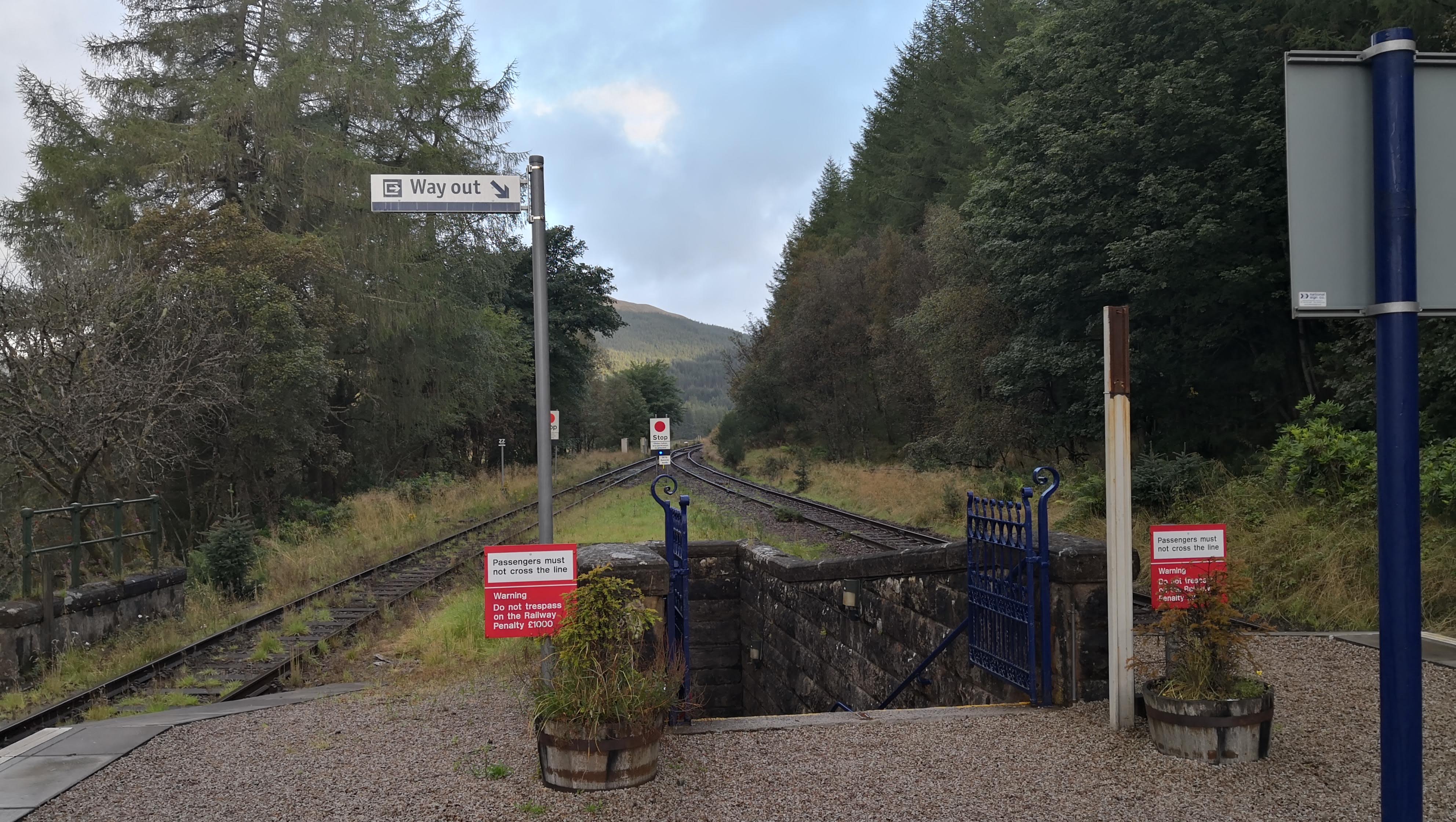 The Tyndrum Upper station is unmanned and there are trains to Fort William only 4 times a day.
These 15 minutes from Tyndrum to Bridge of Orchy were my most epic train journey ever! The scenery was extraterrestial (at least not the part of the Earth I usually observe). I could make some pictures on my way back on Day 8.
Once at Bridge of Orchy, I dropped my bag for luggage carrying service to deliver it to my destination and set on the 34 km hike.
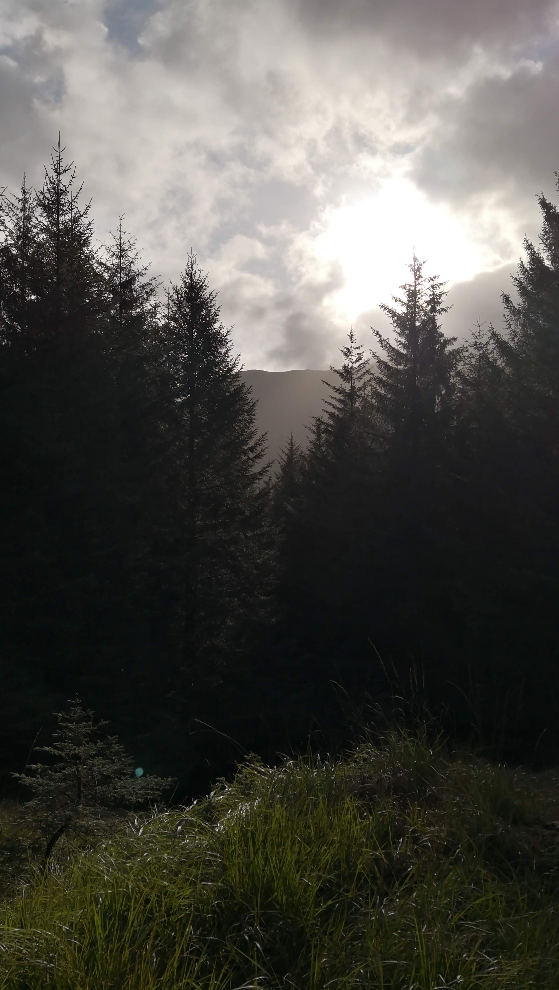
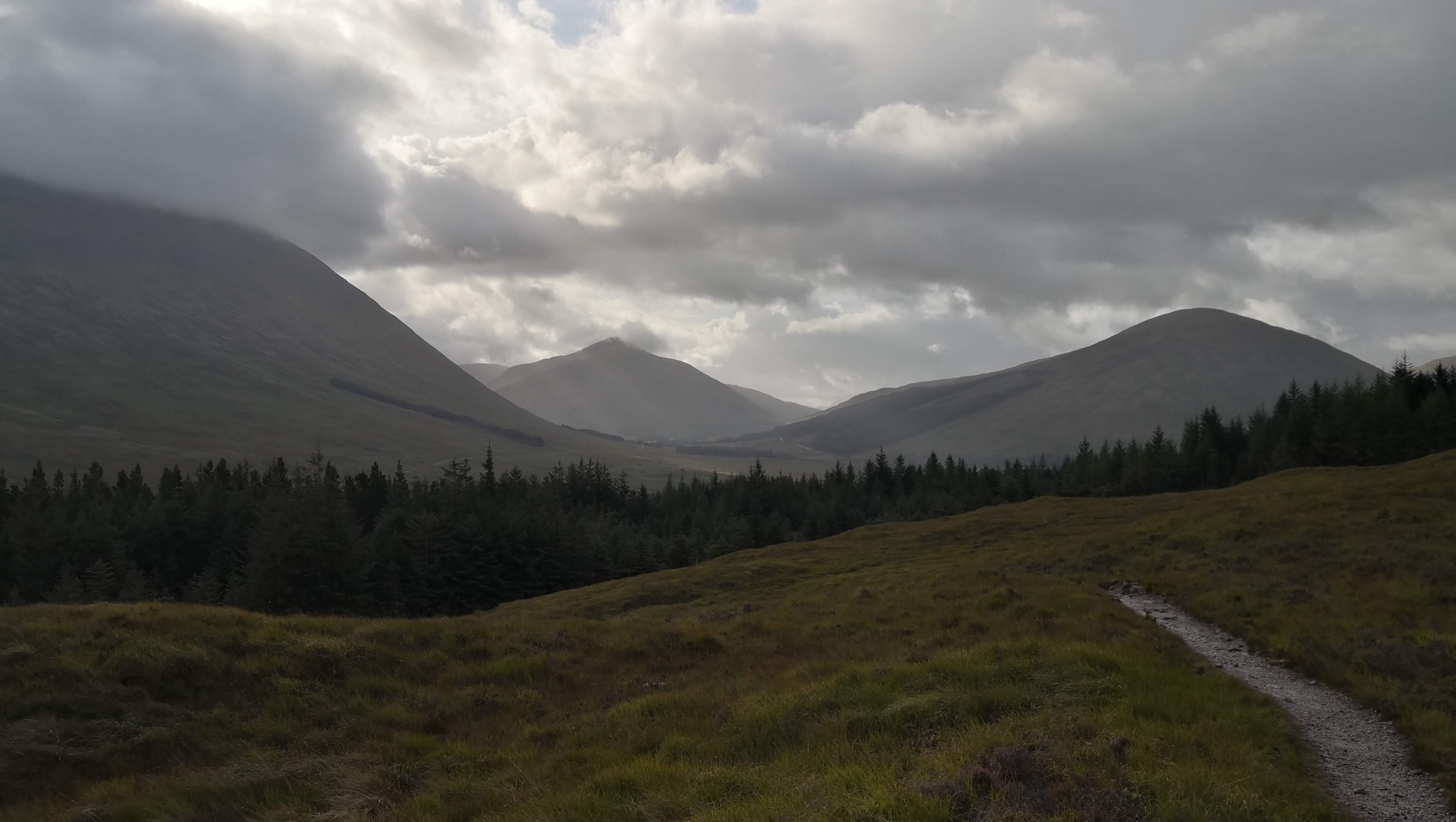
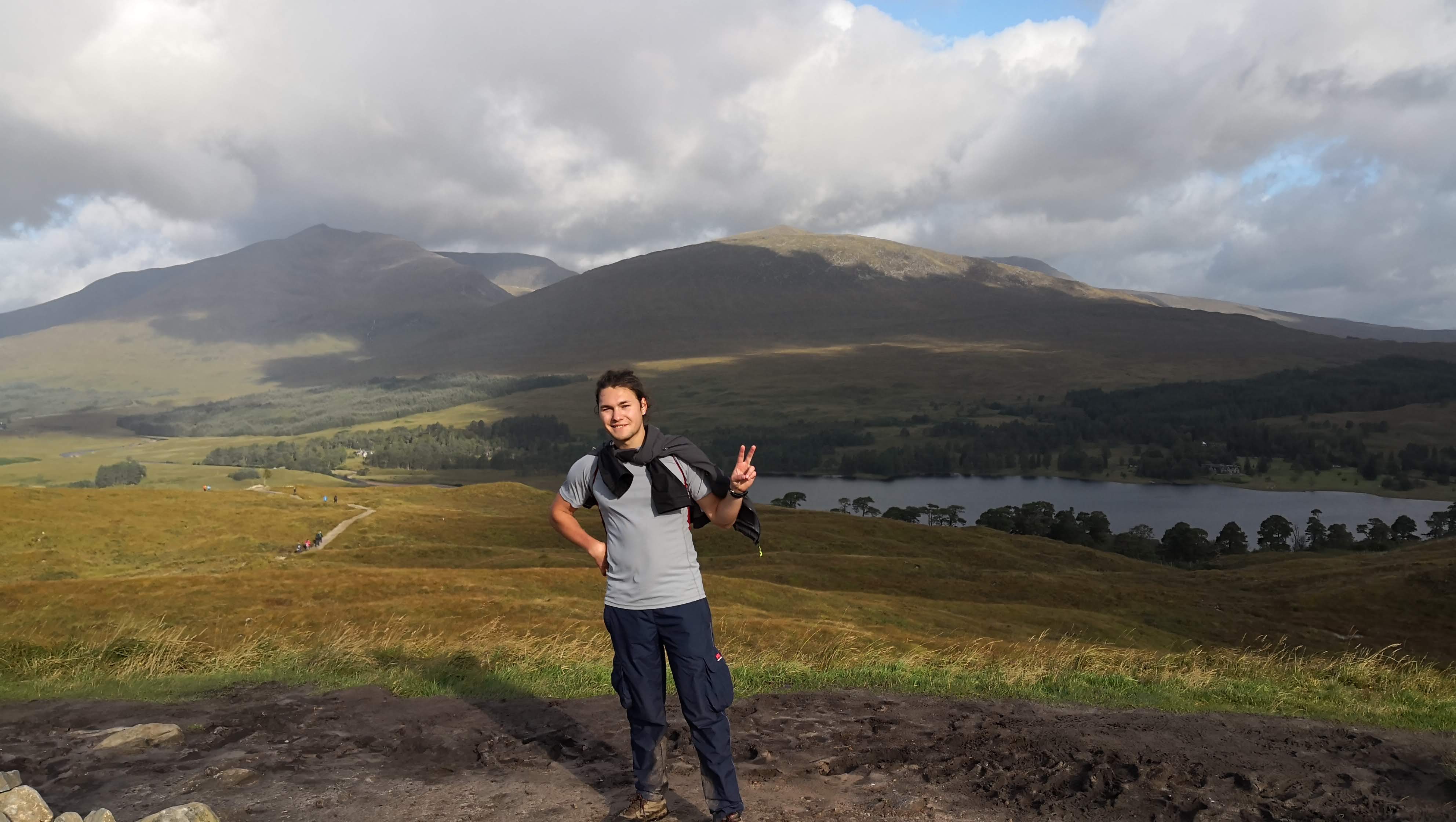 Those pictures of you taken by random strangers…
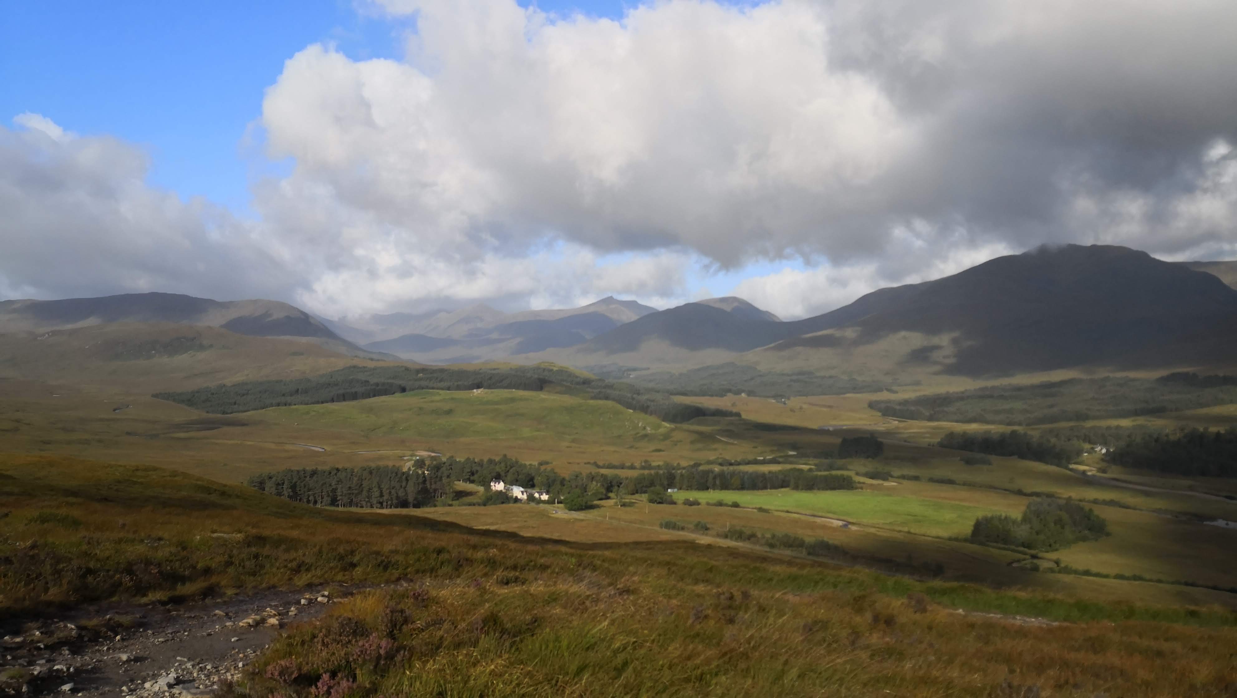
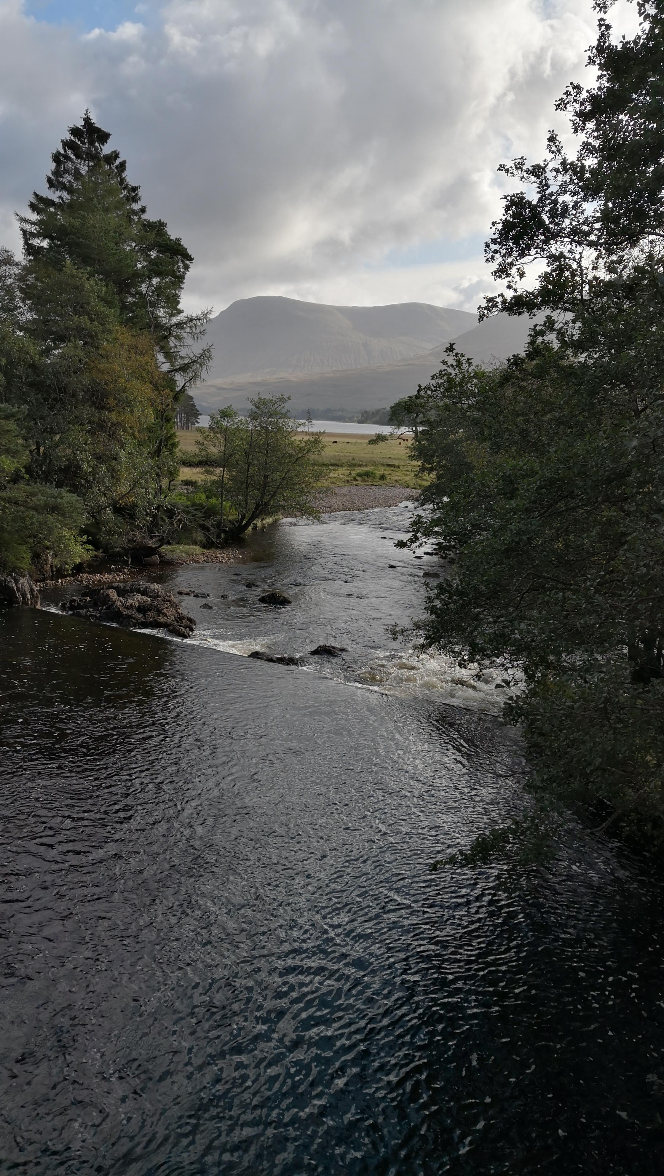
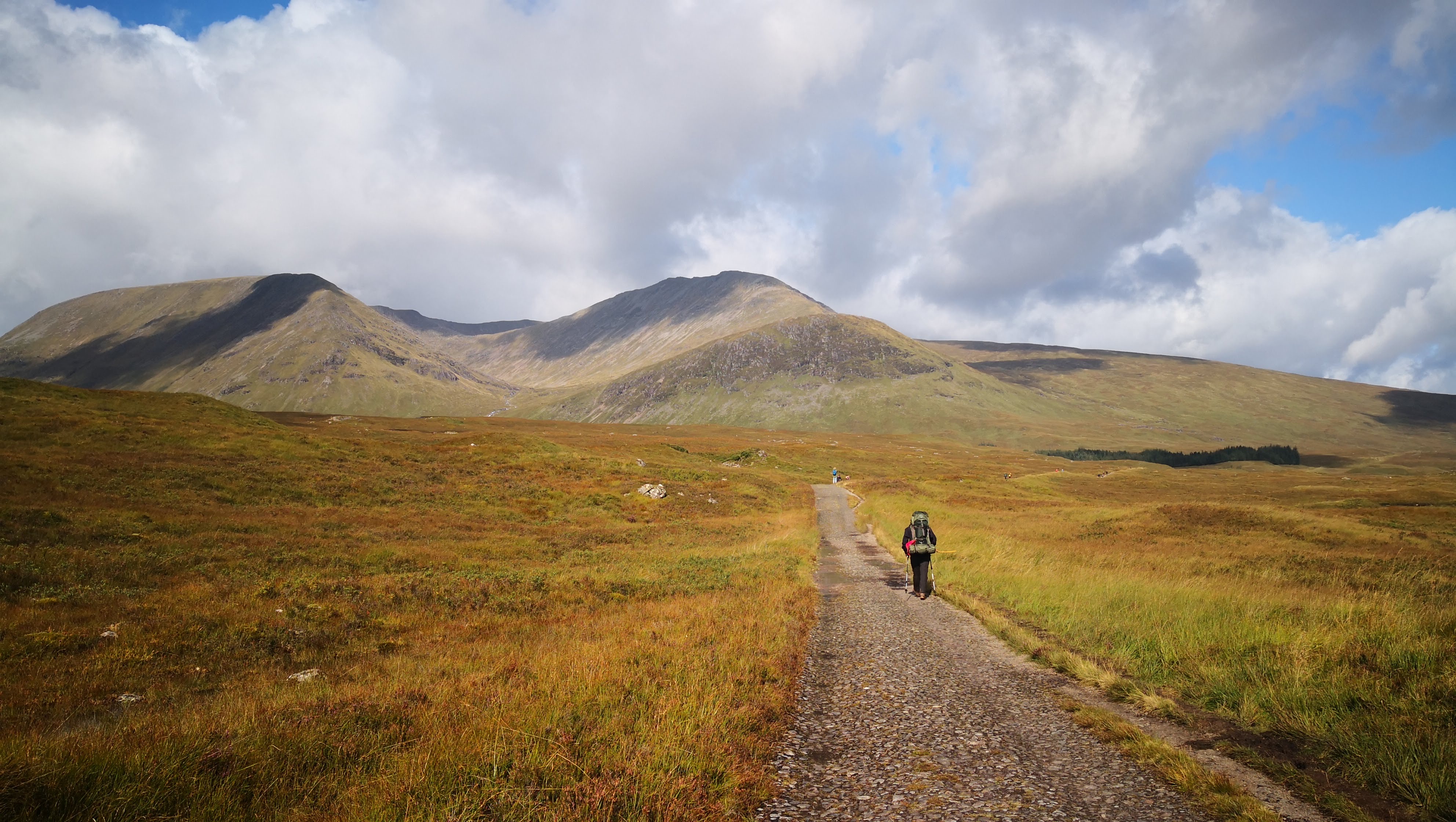
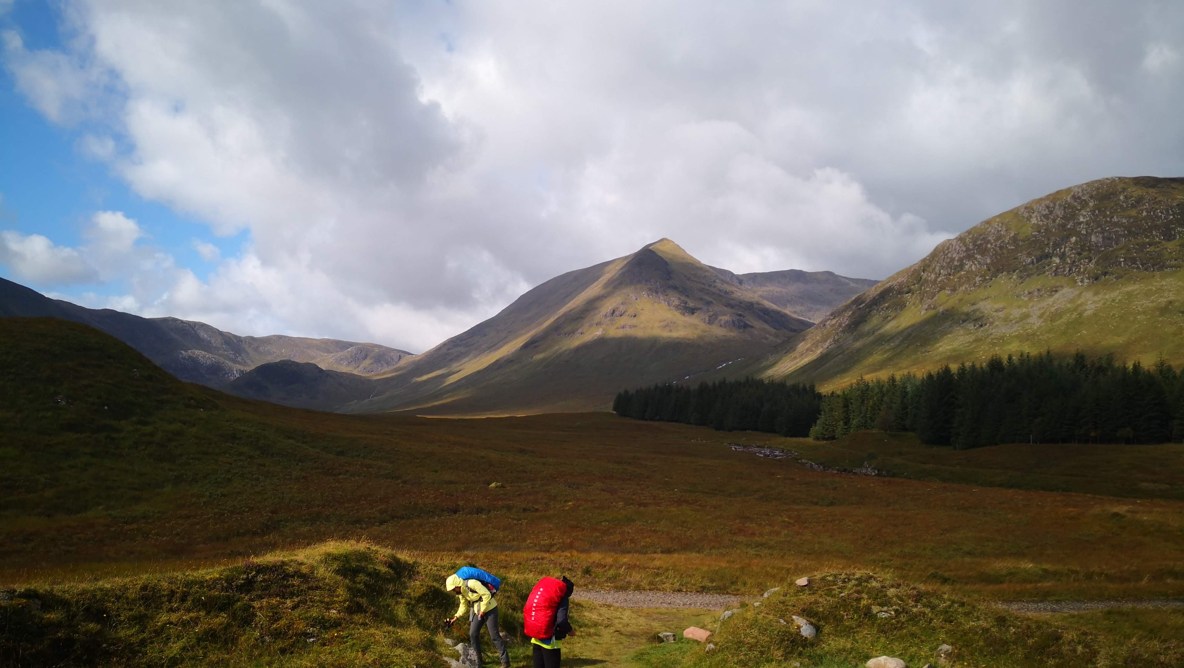 I tried to have rest in picturesque points. It’s funny how rarely you get a moment to attentively enjoy the landscape while on a hike, and how short are these moments
 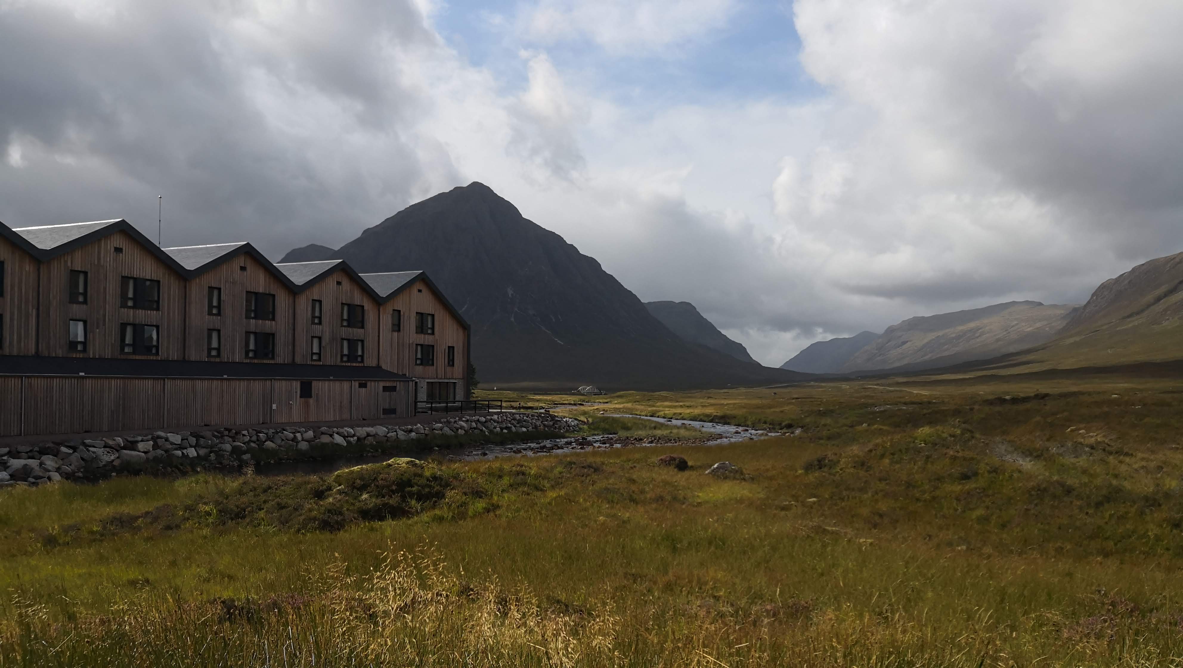 A hotel under construction. This place well deserves a booming tourism!
 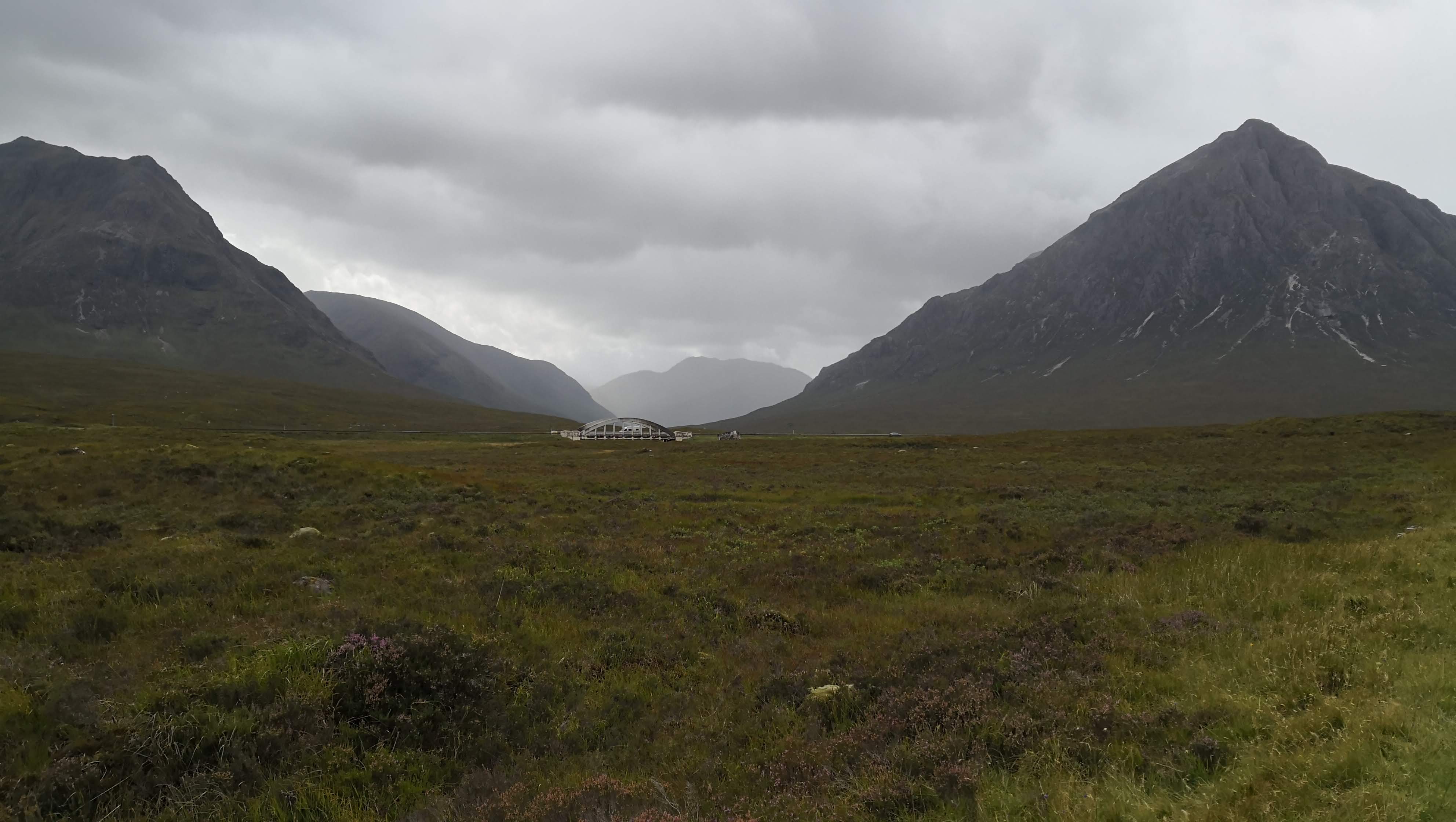 I was walking past it feeling like I was some norse mythological character
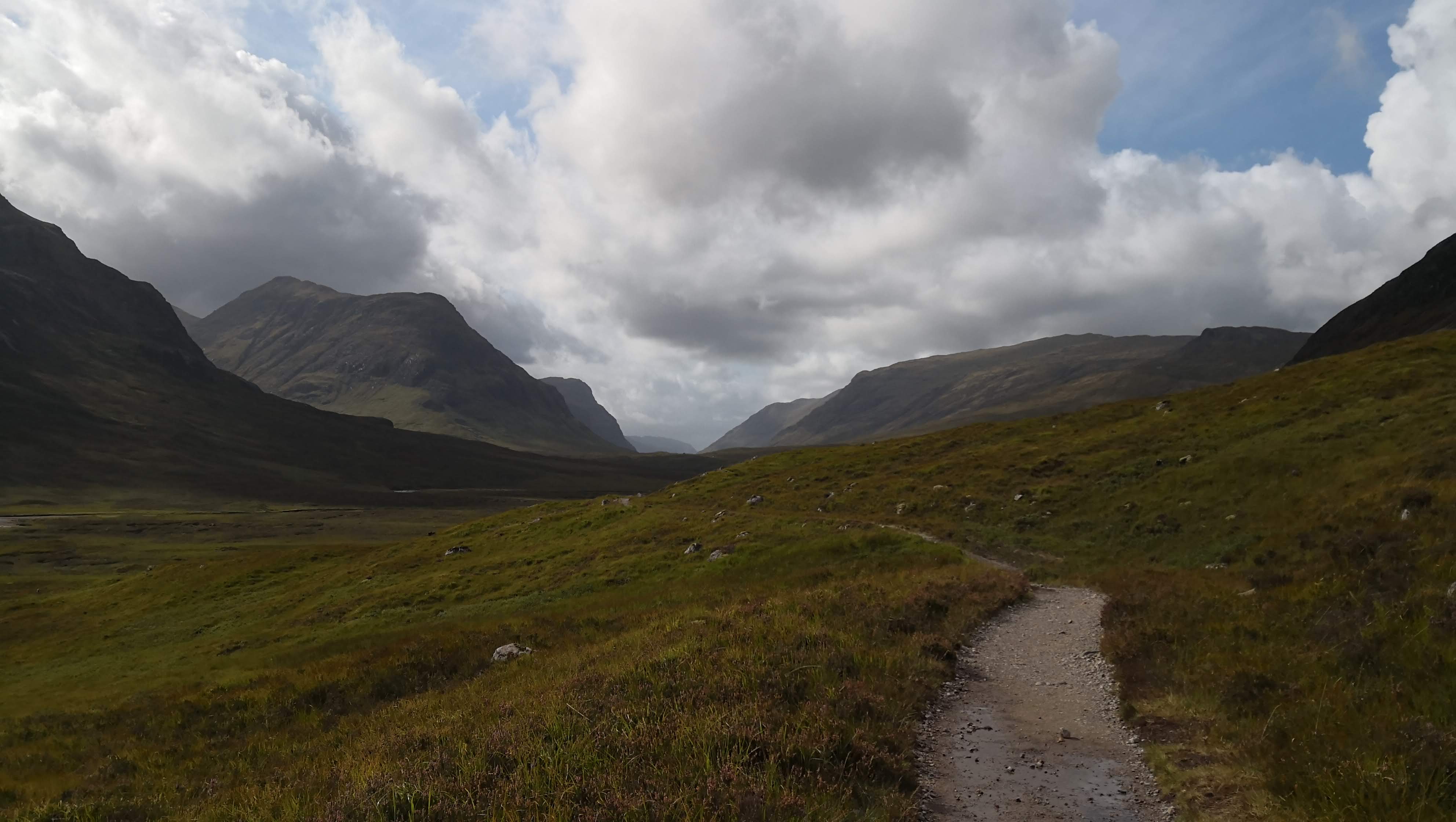
The Devil’s staircase led to a tremendous mountain part. I haven’t met people along the way for about 2-3 hours.
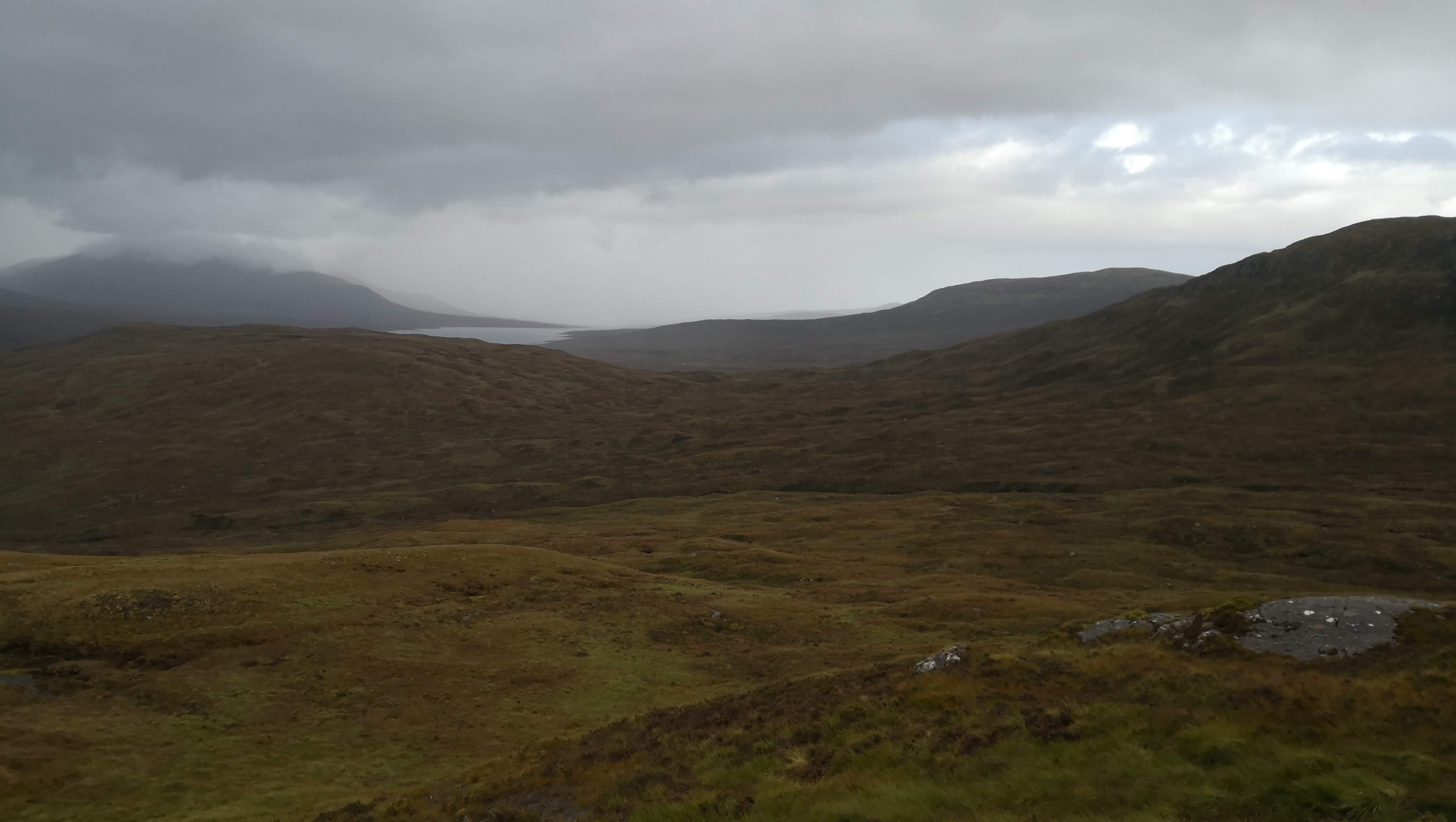
This valley was particularly interesting with something inexpressible through a picture. Just before making the next turn I realized that there was no wind and it was completely silent around me. The landscape looked so Mars-alike, I had flashbacks from “Trainspotting” and “Solaris” at the same time. I was standing still for about 10 minutes thinking
that there was no way I could take this beauty with me and I might never come back to this place. But just this 10 minute glimpse into something so unbelievably mighty and everlasting made me feel grateful.
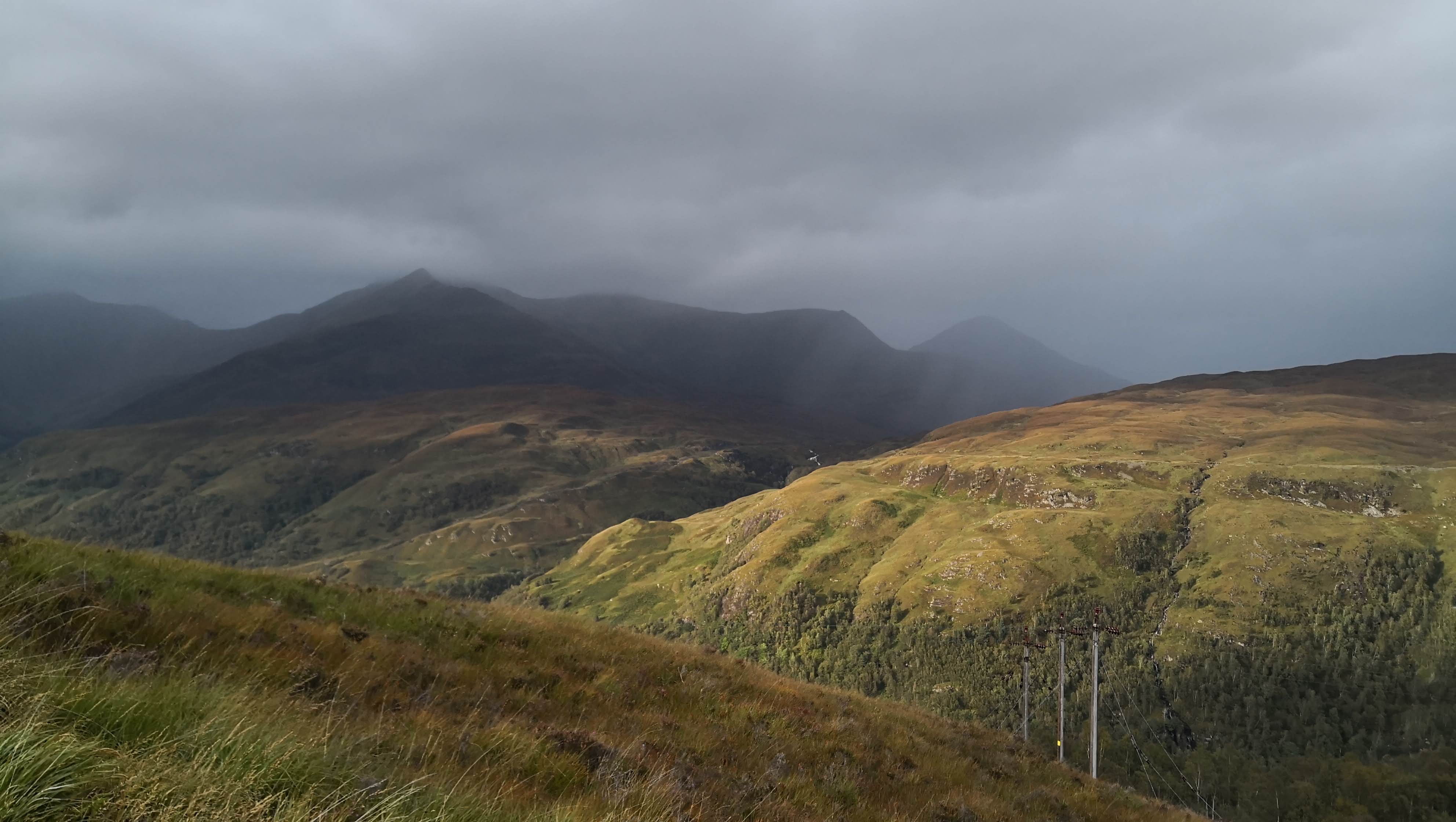
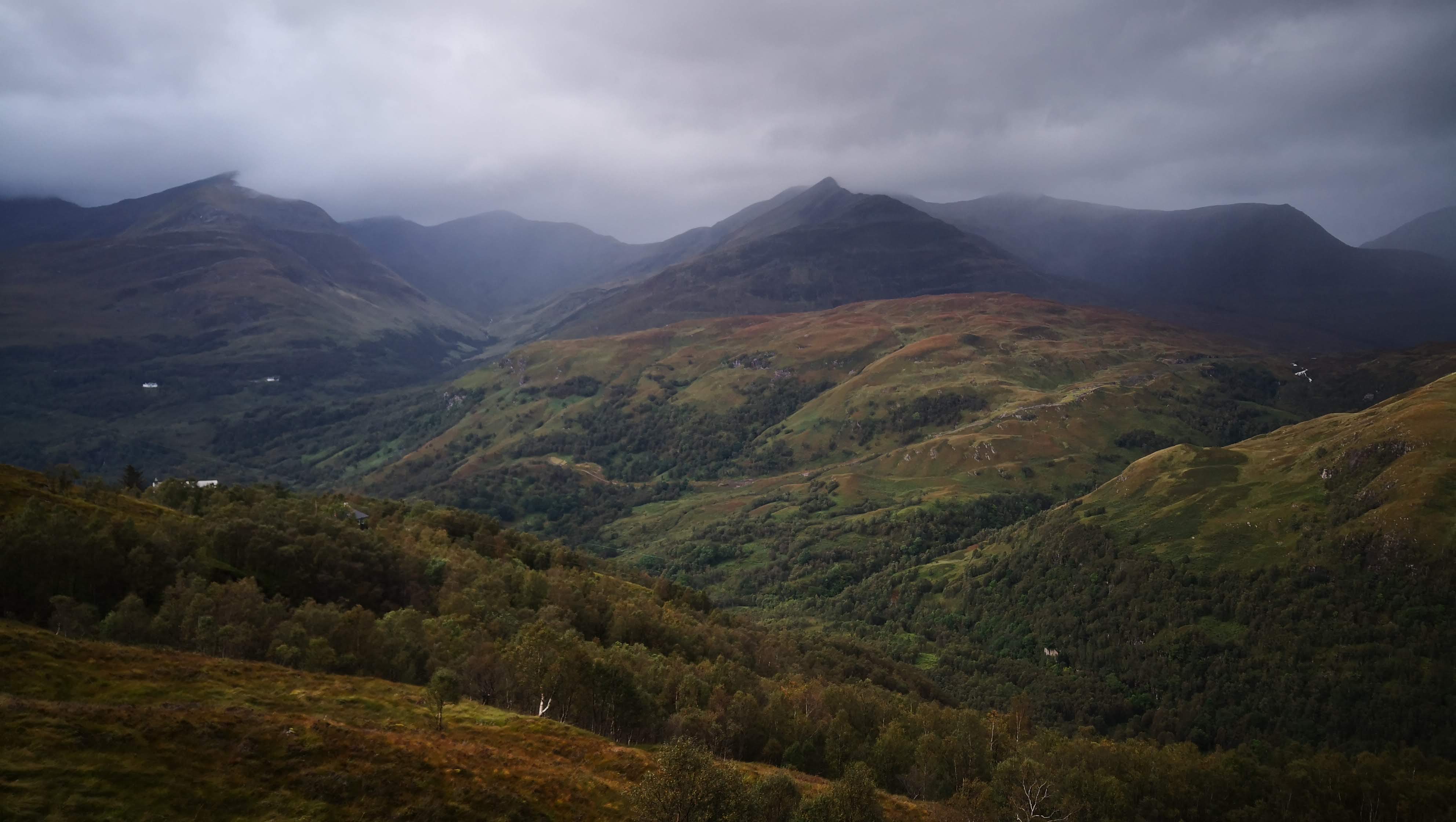
Approaching Kinlochleven felt similar to how I expect the Divine Salvation to feel. I would be completely drained going this distance with my backpack.
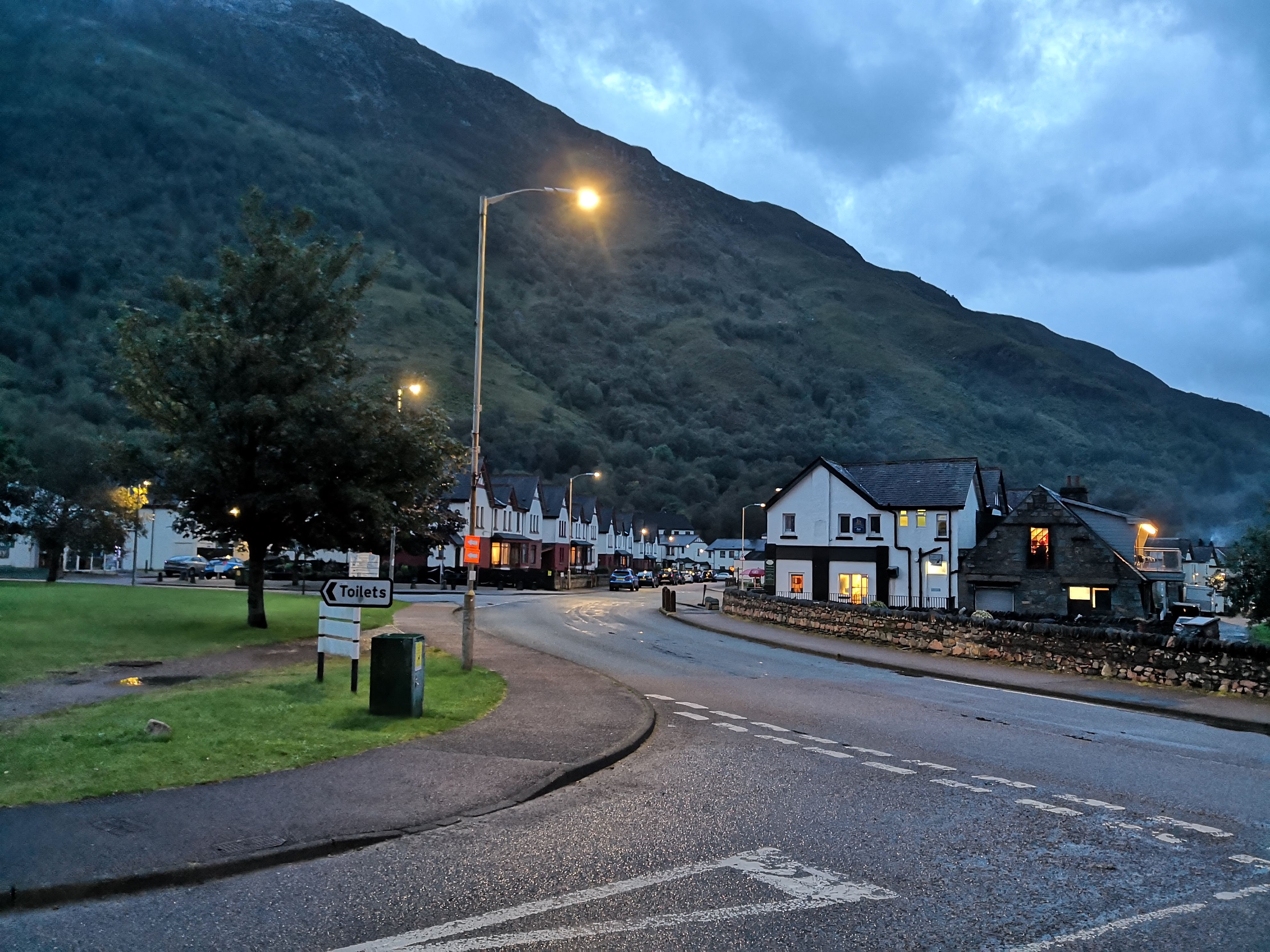 Small but very decent-looking village. Generally, all the villages I was passing by looked quite wealthy.
 This is likely to be the most I have walked in one day ever!
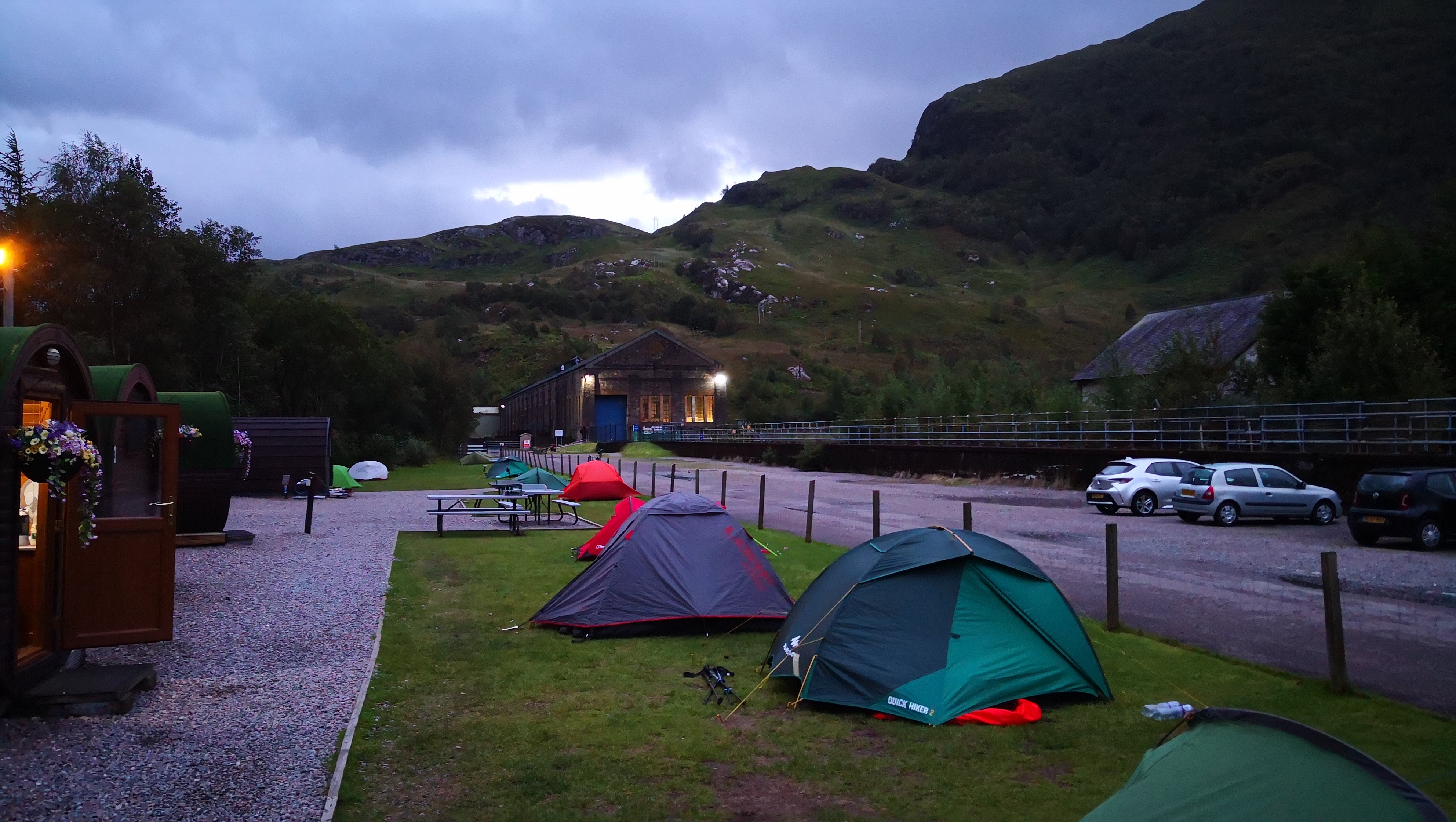 A well-deserved rest
Day 7. Kinlocheven to Glen Nevis, 22 km
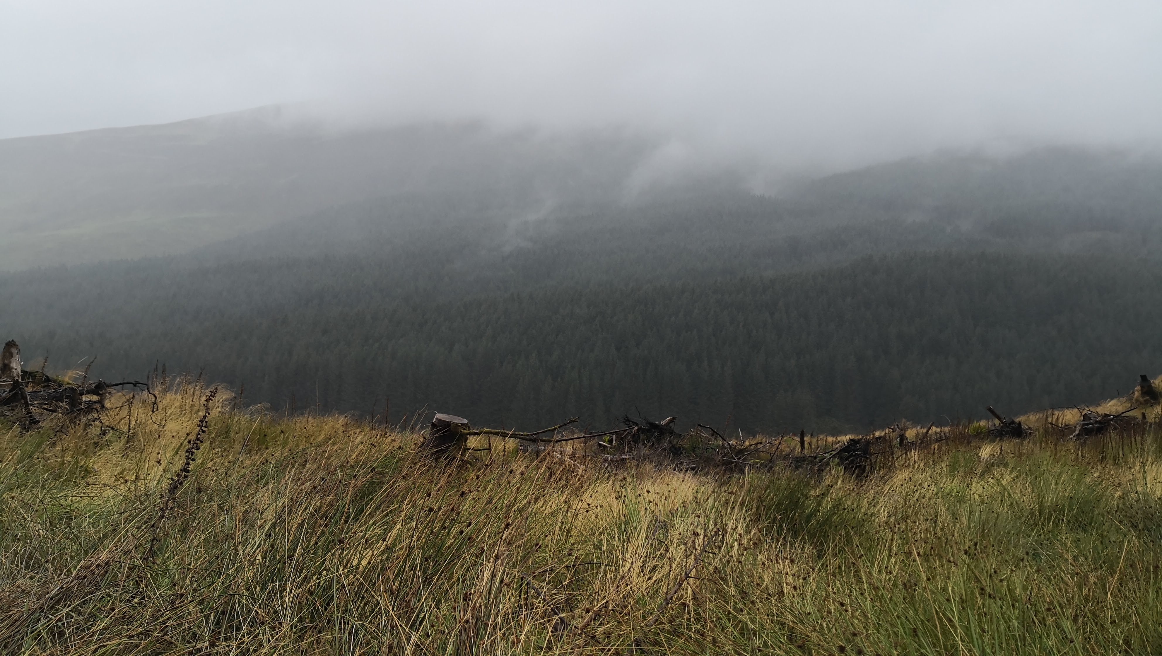
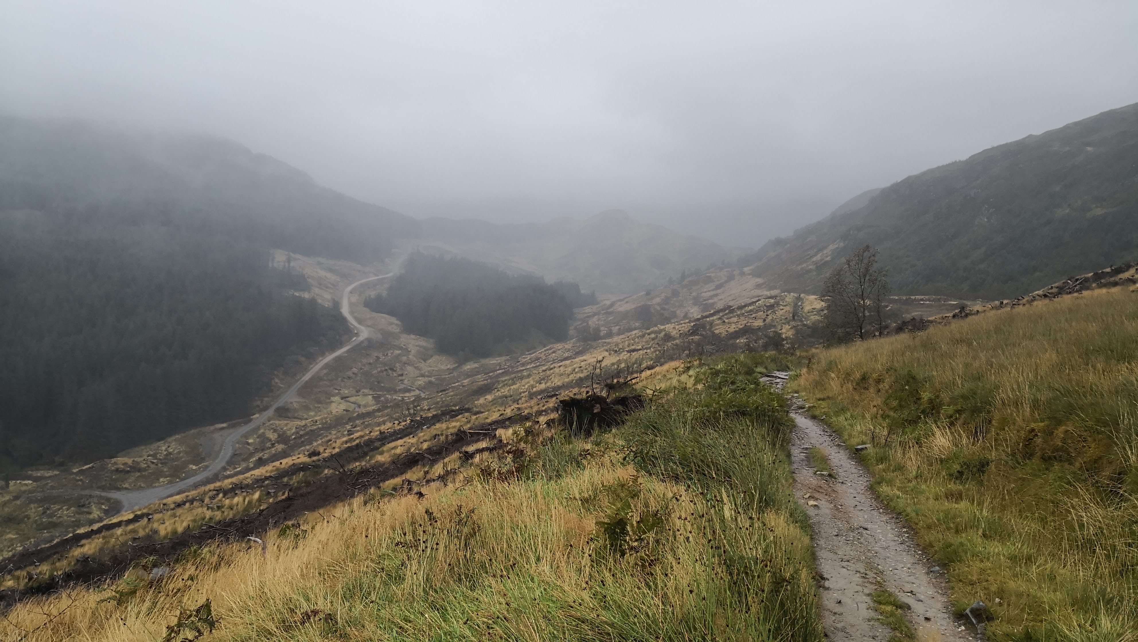
This was the harshest day of my journey. Going with a backpack again for a 22 km hike, in constant rain (it stopped only for a couple hours in the afternoon) and starting from a steep ascent was not bracing at all. However, the proximity of the end of this 140km journey was immensely empowering.
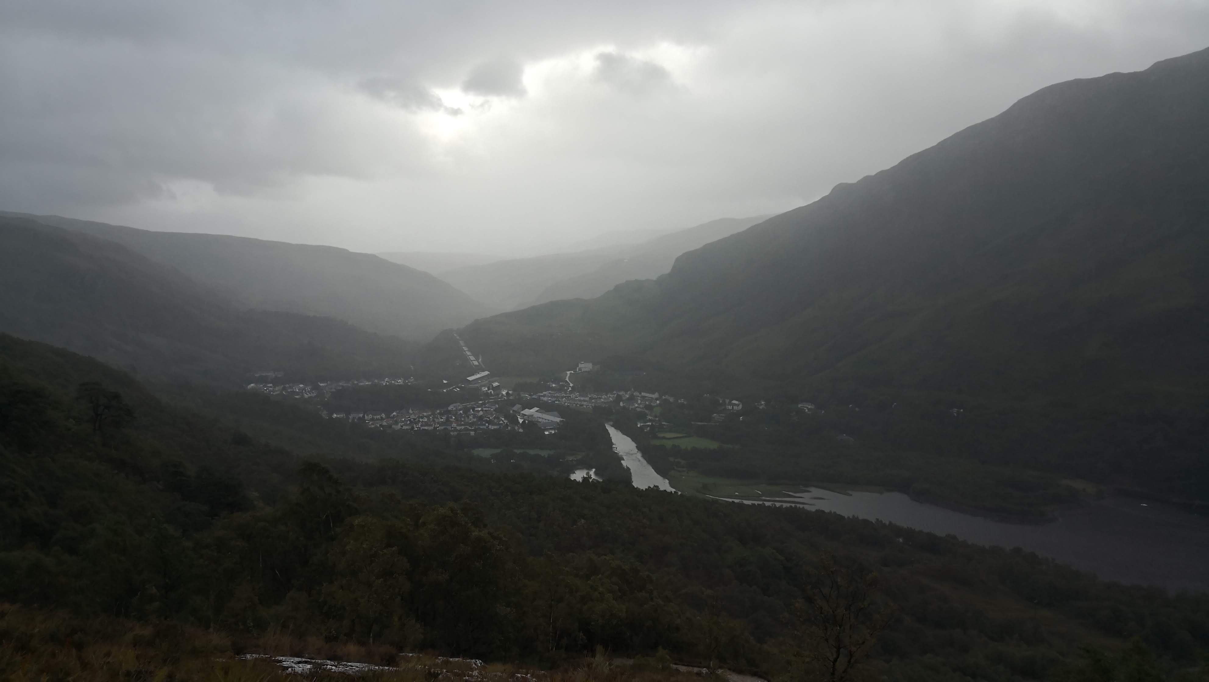 Kinlochleven from above
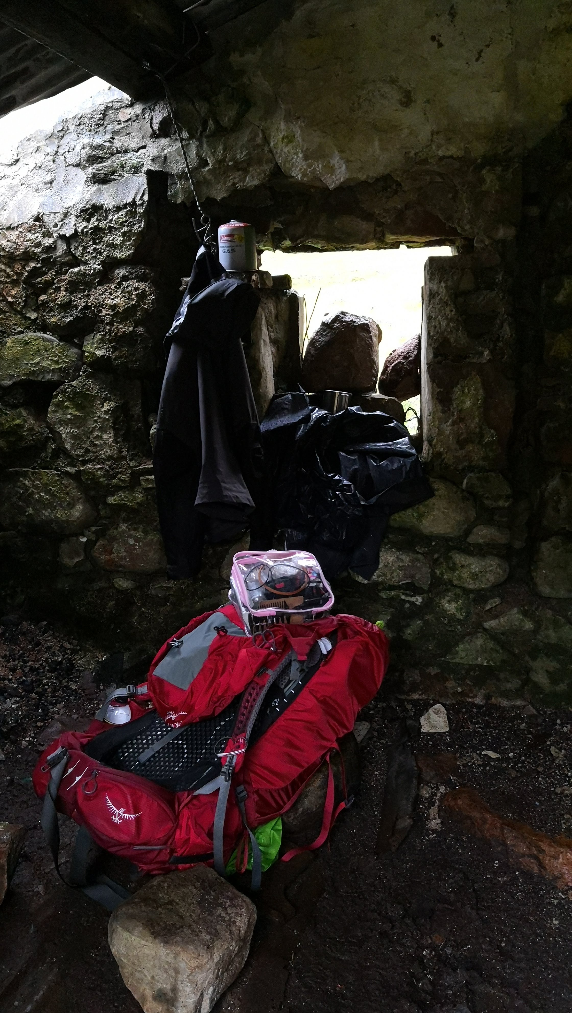 A tiny compartment from the almost destroyed house where I found a decent shelter from rain and had lunch.
This was the only part of the route that didn’t have literally anything to hide from rain or have lunch, so this place was a saver.
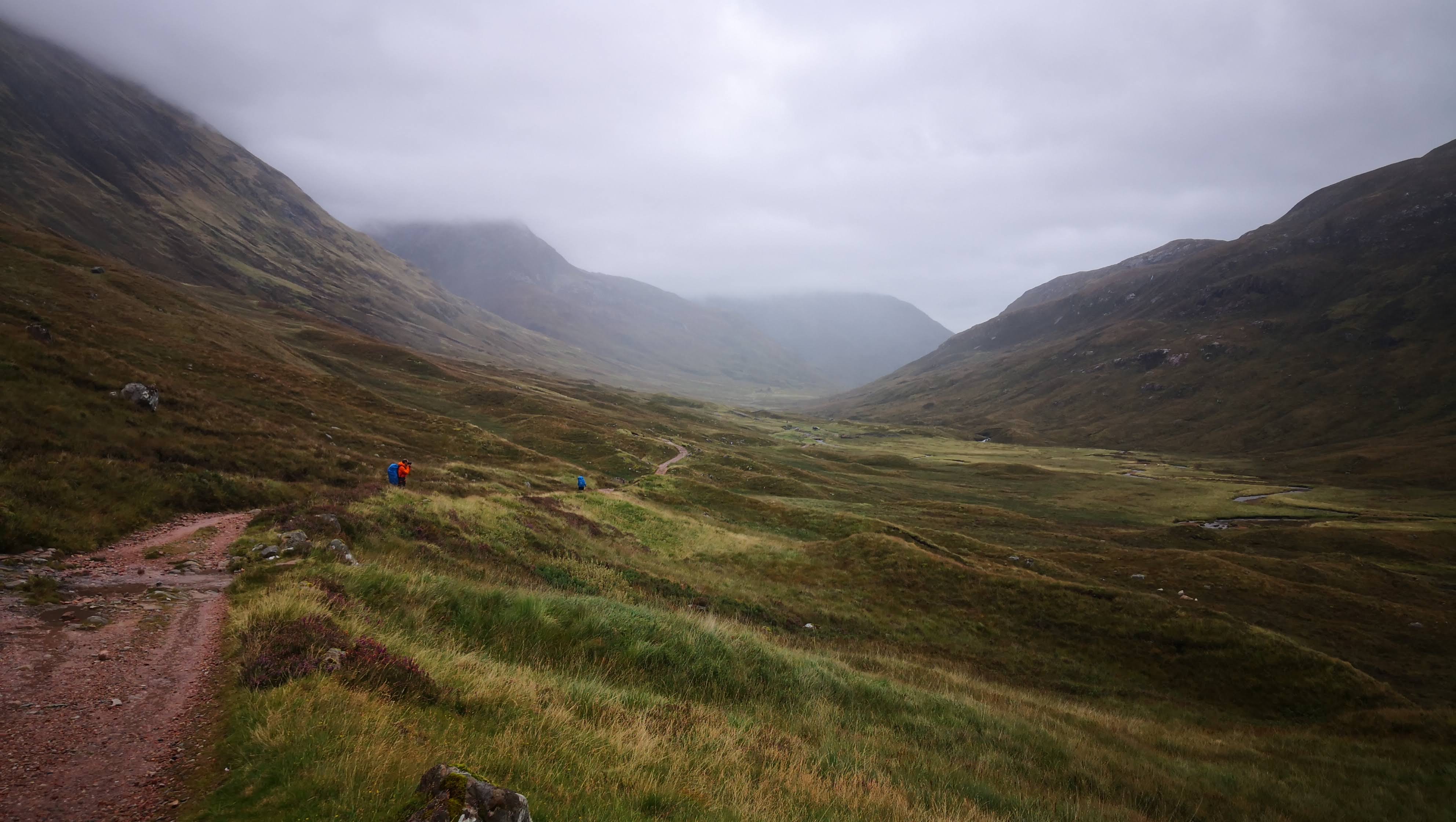
Walking along these incredibly long mountains (it used to be a part of a military route) in rain feels depressing and majestic at the same time. It’s like floating through space.
Day 8. Fort William to Glasgow
Next morning was dry and happy, and I had to walk just about 40 minutes to Fort William to reach the end of the route! 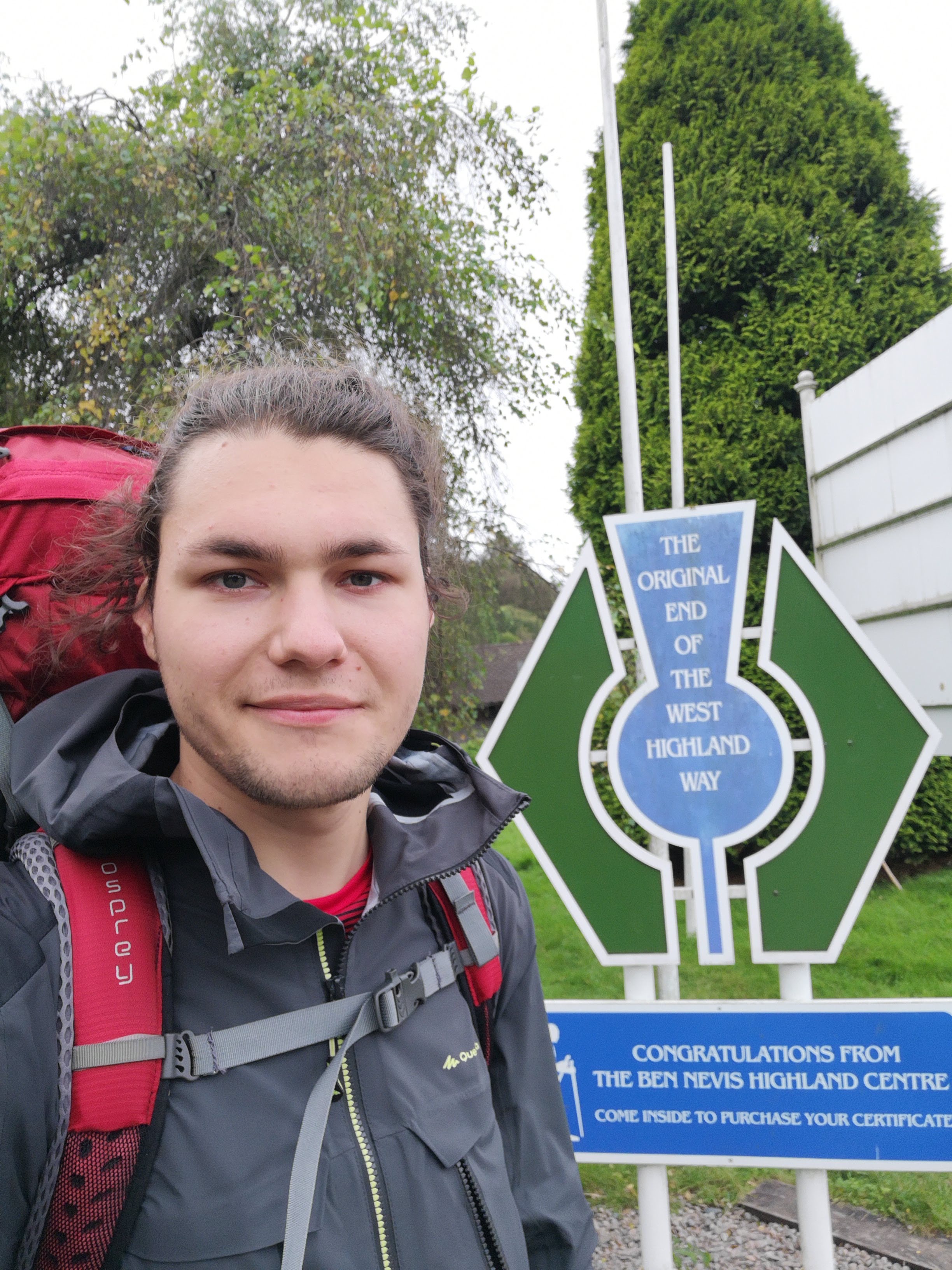
The train from Fort William to Glasgow can boast some stunning views, for the most part it was hard to capture them on camera, so I just enjoyed this flowing beauty.
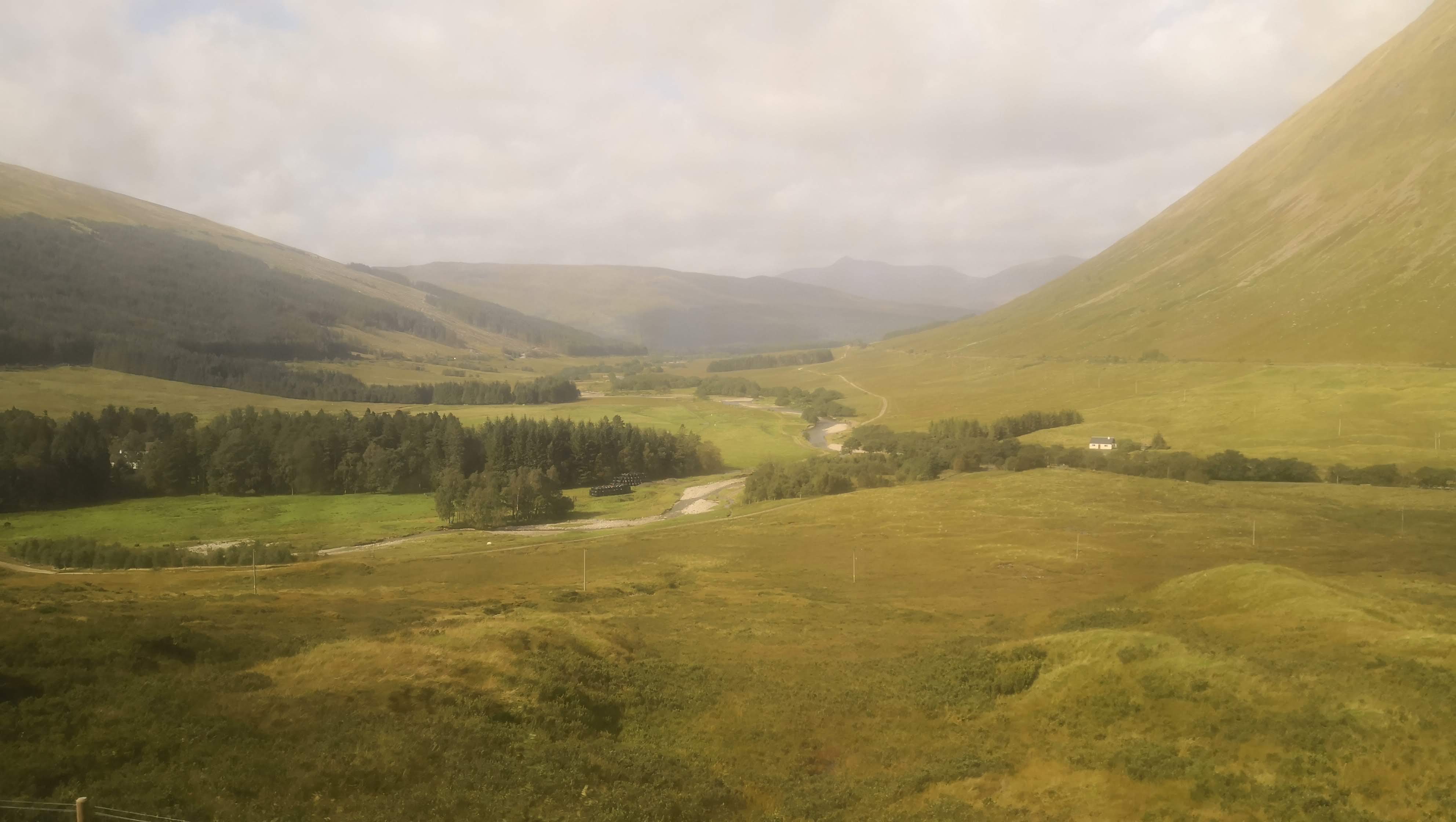
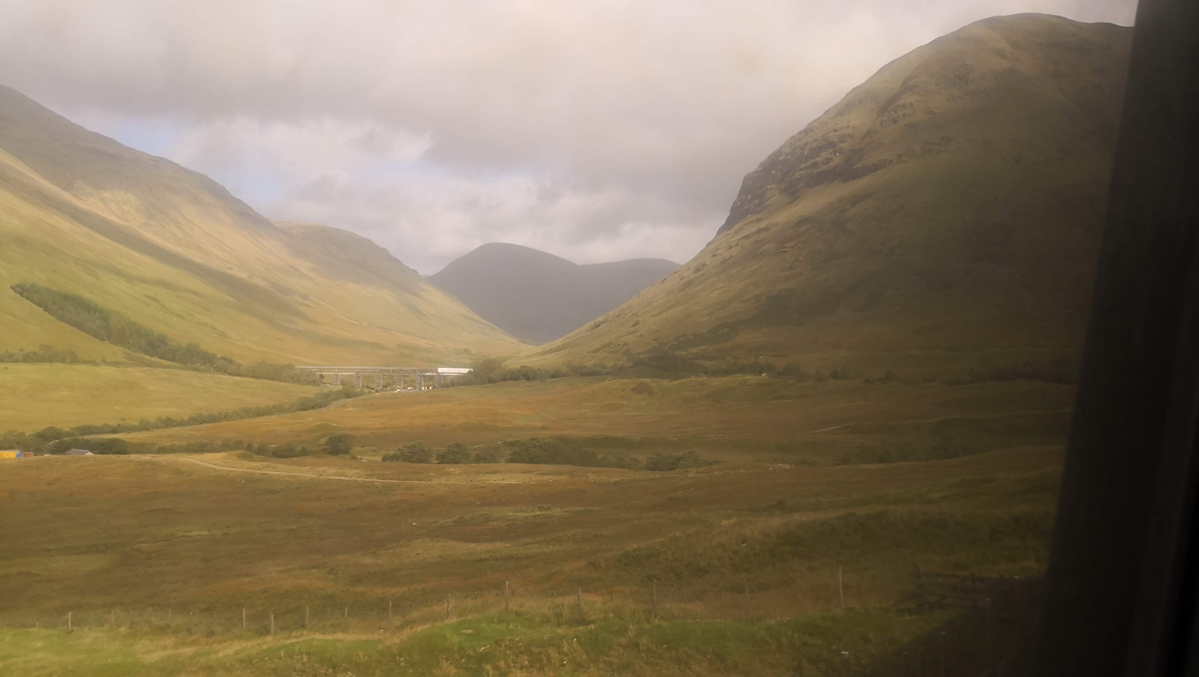
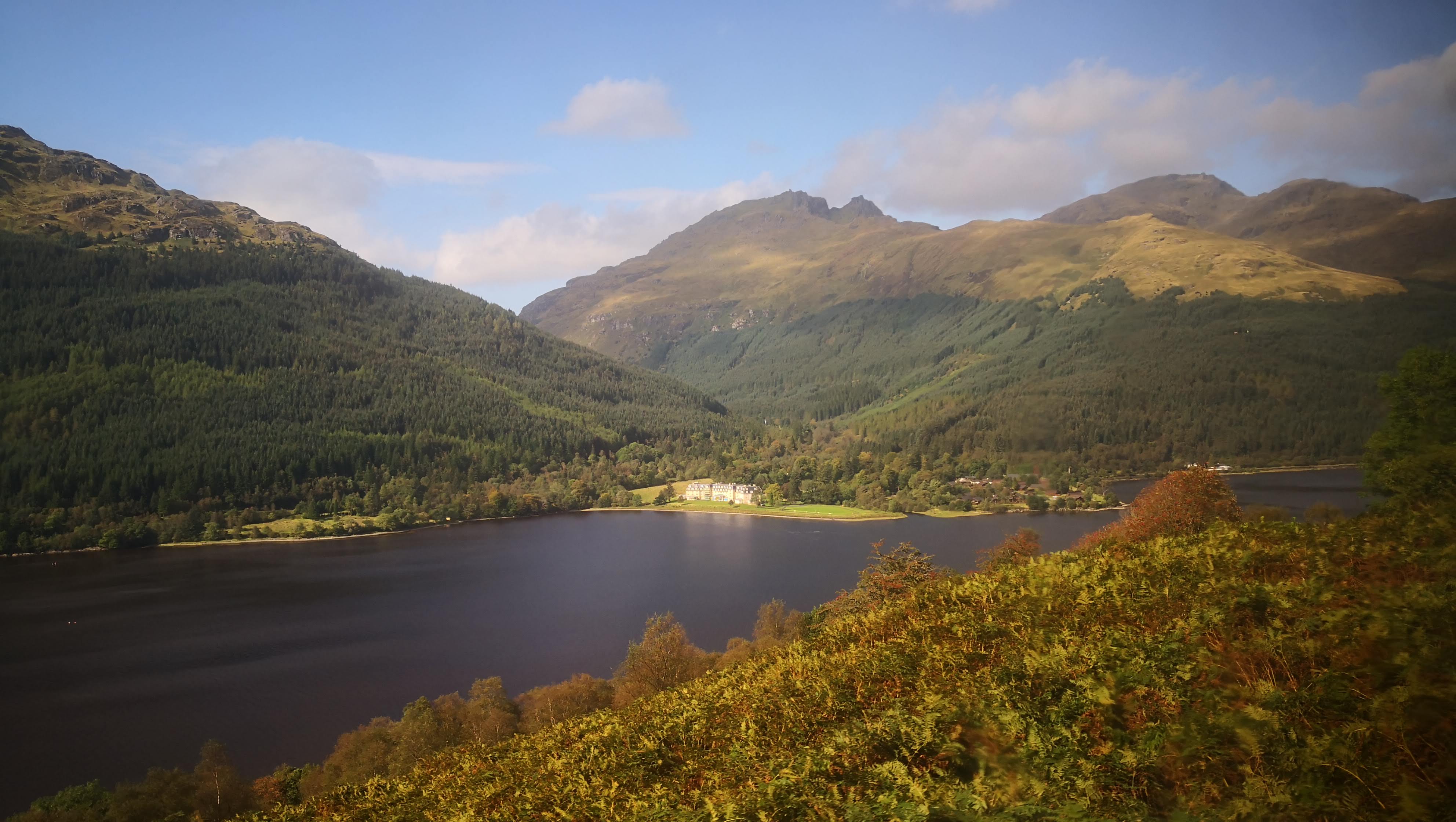
Conclusion
I managed to survive through my longest hike by date! As usually with mountains, it may feel daunting at the spot, but leaves an intense long-term satisfaction and only the good memories.
Navigation along WHW is super easy. The route is very clearly marked and there might be at most 1 or 2 places where you would hesitate on the direction. I didn’t need a map at all.
All of the campsites along the way were good, and usually, a price for a campsite varies between 6 and 10 pounds per person, providing hot showers, a kitchen, sometimes a drying room, clean water. You can also camp in the wild, except for some parts around Loch Lomond. If you book well in advance, every campsite has some simple reasonably-priced pods to stay overnight which means you don’t need to set up a tent and have a more of a comfortable journey.
I would recommend taking a luggage carrying service for the whole duration of the trip. Usually it’s 40£ for end-to-end luggage delivery for the whole route which I believe is a good price. It becomes more of enjoying the views and less of a backpack carrying race. Also, you can walk faster and have longer breaks to just sit and enjoy those unique moments.
West Highland Way is a great place to start exploring Scotland. You would probably get a fuller picture of this country by moving around by car and having multiple short hikes, but WHW can give an excellent camping experience and is still incredibly pleasing to the eye.